Katyn — Starodubskoye
Katyn — Veselovka
Katyn — Kozlovskiy
Katyn — Khushenga
Katyn — Olenye
Katyn — Asanovo
Katyn — Elshanka
Katyn — Moskovsky
Katyn — Khabarovsk region
Katyn — Trekhgornyy
Katyn — Nikel
Katyn — Moscow
Katyn — Kropachevo
Katyn — Lyanino
Katyn — Shorkistry
Katyn — Priazovski
Katyn — Losinyy
Katyn — Omskiy Aeroport
Katyn — Svetlograd
Lonnitsa
Solaŭje
Katyn — Starodubskoye
Katyn — Veselovka
Katyn — Kozlovskiy
Katyn — Khushenga
Katyn — Olenye
Katyn — Asanovo
Katyn — Elshanka
Katyn — Moskovsky
Katyn — Khabarovsk region
Katyn — Trekhgornyy
Katyn — Nikel
Katyn — Moscow
Katyn — Kropachevo
Katyn — Lyanino
Katyn — Shorkistry
Katyn — Priazovski
Katyn — Losinyy
Katyn — Omskiy Aeroport
Katyn — Svetlograd
Lonnitsa
Solaŭje  Dyatlovo
RTS
Kochanava
Talachyn
Bobr
Šaćki
Krupki
Lošnica
Barysaw
Žodzina
Smalyavichy
Goncharovka
Slabada
Smaliavichy District
Ostroshitskiy Gorodok
Касынь
Bovbli
Labenščyna
Rakaw
Dory
Burmaki
Ardašy
Župrany
Ashmyany
Hryncy
Medininkai
Dyatlovo
RTS
Kochanava
Talachyn
Bobr
Šaćki
Krupki
Lošnica
Barysaw
Žodzina
Smalyavichy
Goncharovka
Slabada
Smaliavichy District
Ostroshitskiy Gorodok
Касынь
Bovbli
Labenščyna
Rakaw
Dory
Burmaki
Ardašy
Župrany
Ashmyany
Hryncy
Medininkai  Savičiūnai
Rukainiai
Savičiūnai
Rukainiai
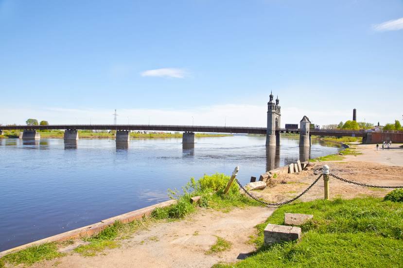
Katyn — Sovetsk distance, route on the map
Distance by car
Distance between Katyn, Smolensk Oblast, Russian Federation and Sovetsk, Kaliningrad Oblast, Russian Federation by car is — km, or miles. To travel this distance by car, you need minute, or h.
Route on the map, driving directions
Car route Katyn — Sovetsk was created automatically. The road on the map is shown as a blue line. By moving the markers, you can create a new route through the points you need.
Passing cities through which the car route passes: Rudaki, Lonnitsa, Solaŭje (by), Dyatlovo (by), RTS (by), Kochanava (by), Talachyn (by), Bobr (by), Šaćki (by), Krupki (by), Lošnica (by), Barysaw (by), Žodzina (by), Smalyavichy (by), Goncharovka (by), Slabada (by), Smaliavichy District (by), Ostroshitskiy Gorodok (by), Касынь (by), Bovbli (by), Labenščyna (by), Rakaw (by), Dory (by), Burmaki (by), Ardašy (by), Župrany (by), Ashmyany (by), Hryncy (by), Medininkai (lt), Savičiūnai (lt), Rukainiai (lt).
Distance by plane
If you decide to take a trip Katyn Sovetsk by plane, then you have to fly the distance — 627 km or 389 miles. It is marked on the map with a gray line (between two points in a straight line).
Flight time
Estimated flight time Katyn Sovetsk by plane at cruising speed 750 km / h will be — 50 min.
Direction of movement
Russian Federation, Katyn — right-hand traffic. Russian Federation, Sovetsk — right-hand traffic.
Difference in time
Katyn and Sovetsk are in different time zones. The time difference is 1 hour (UTC +3 Europe/Moscow, UTC +2 Europe/Kaliningrad).
Interesting Facts
Information on alternative ways to get to your destination.
The length of this distance is about 1.6% of the total length of the equator.
The cost of travel
Calculate the cost of the trip yourself using the fuel consumption calculator, changing the data in the table.