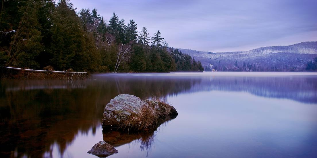
 Weston
Bancroft
Sackville
Extension
Winfield
Red Deer
Peace River
Lloydminster
Fort Vermilion
Wolfville
Nepean
Guelph
Winnipeg
Kingston
Hamilton
Waterloo
Halifax
Saskatoon
Vancouver
Weston
Bancroft
Sackville
Extension
Winfield
Red Deer
Peace River
Lloydminster
Fort Vermilion
Wolfville
Nepean
Guelph
Winnipeg
Kingston
Hamilton
Waterloo
Halifax
Saskatoon
Vancouver
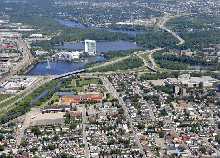
Gatineau on the map, Canada
Where is located Gatineau
Exact location — Gatineau, Communauté-Urbaine-de-l'Outaouais, Québec, Canada, marked on the map with a red marker.
Coordinates
Gatineau, Canada coordinates in decimal format: latitude — 45.4765446, longitude — -75.7012723. When converted to degrees, minutes, seconds Gatineau has the following coordinates: 45°28′35.56 north latitude and -75°42′4.58 east longitude.
Population
Gatineau, Communauté-Urbaine-de-l'Outaouais, Québec, Canada, according to our data the population is — 242,124 residents, which is about 0.6% of the total population of the country (Canada).
Comparison of the population on the graph:
Exact time
Time zone for this location Gatineau — UTC -4 America/Toronto. Exact time — friday, 5 may 2024 year, 06 h. 16 minutes.
Sunrise and sunset
Gatineau, sunrise and sunset data for a date — friday 10.05.2024.
| Sunrise | Sunset | Day (duration) |
|---|---|---|
| 05:40 -2 minutes | 20:17 +1 minute | 14 h. 36 minutes. +3 minutes |
You can control the scale of the map using the auxiliary tools to find out exactly where it is located Gatineau. When you change the scale of the map, the width of the ruler also changes (in kilometers and miles).
Nearby cities
The largest cities that are located nearby:
- Kingston — 151 km
- Laval — 155 km
- Montreal — 165 km
- Longueuil — 170 km
- Trois-Rivières — 259 km
- Syracuse
 (United States) — 271 km
 - Sherbrooke — 297 km
- Rochester (United States) — 299 km
- Oshawa — 307 km
- Whitby — 312 km
- Barrie — 337 km
- Markham — 341 km
- Richmond Hill — 346 km
- Vaughan — 354 km
- Toronto — 357 km
- Levis — 365 km
- Quebec — 368 km
- Amherst (United States) — 373 km
- Brampton — 377 km
Distance to neighboring capitals:
- Washington (United States) — 739 km
- Nuuk
 (Greenland) — 2552 km
 - Saint John
 (Puerto Rico) — 3132 km
 - Mexico City
 (Mexico) — 3609 km
 - Belgrade
 (Serbia) — 7043 km
 - Podgorica
 (Montenegro) — 7133 km
 - Hagåtña
 (Guam) — 12308 km
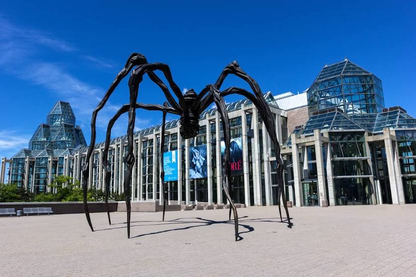
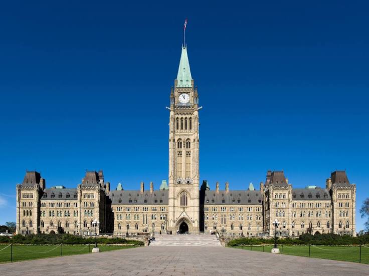
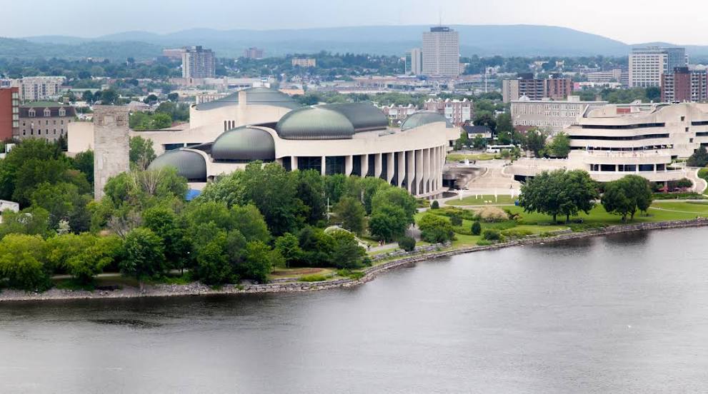
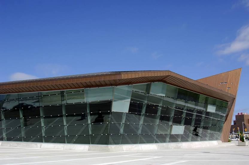
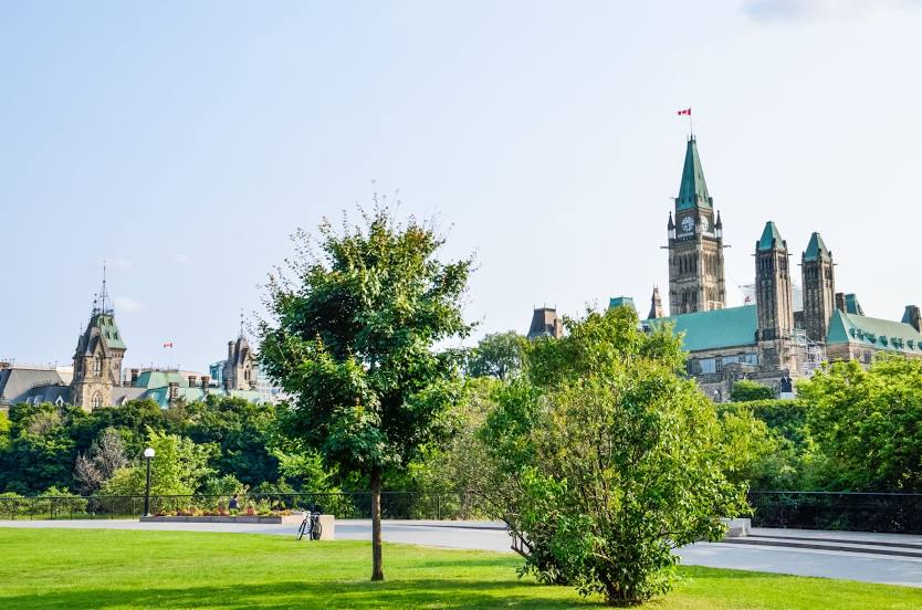
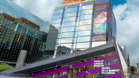
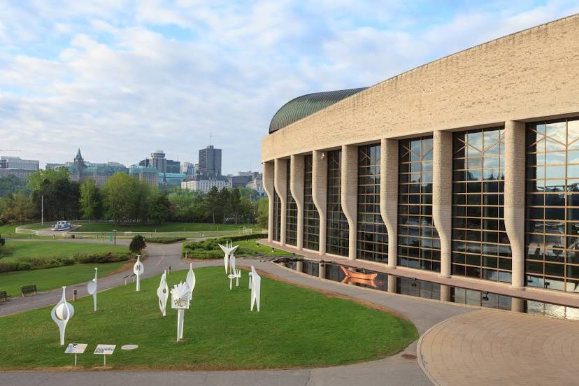
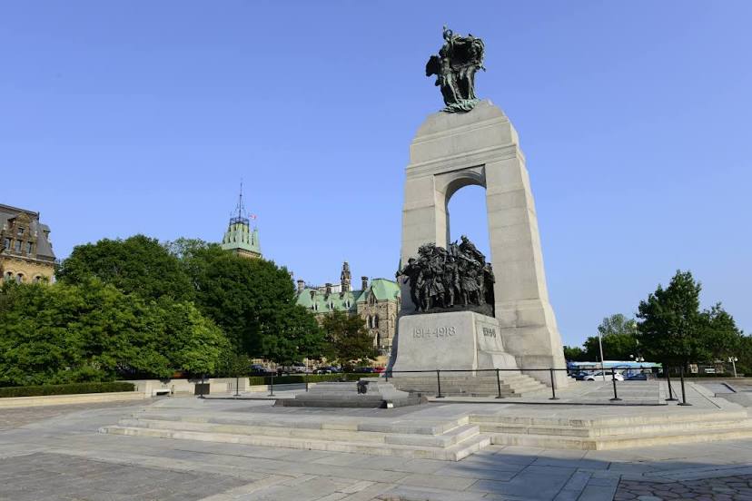
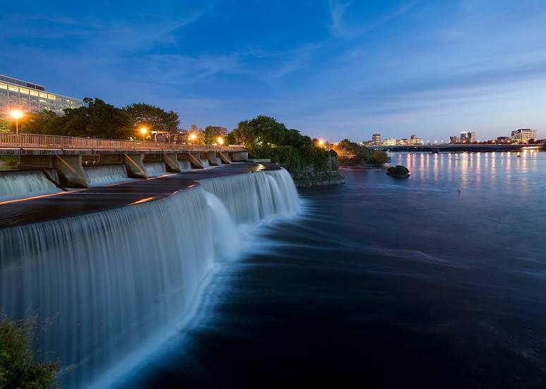
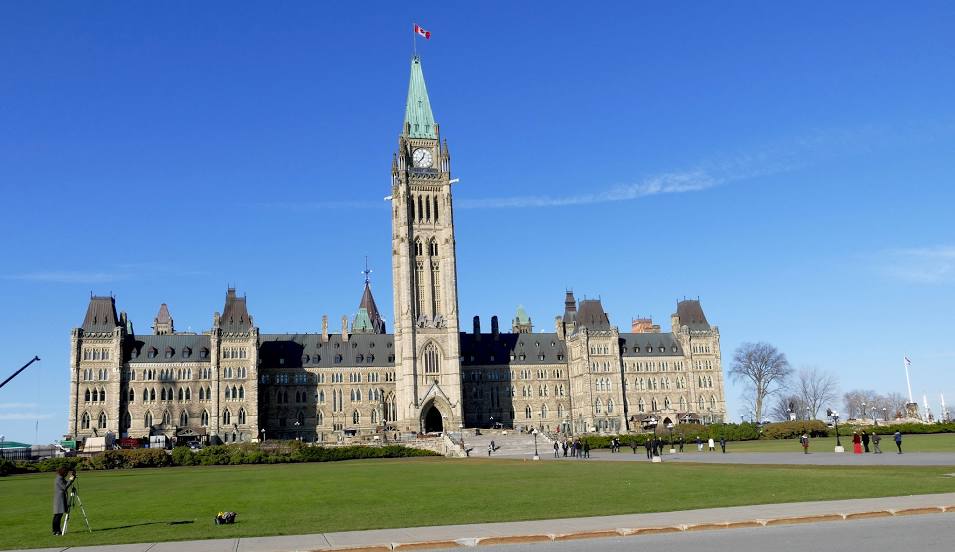
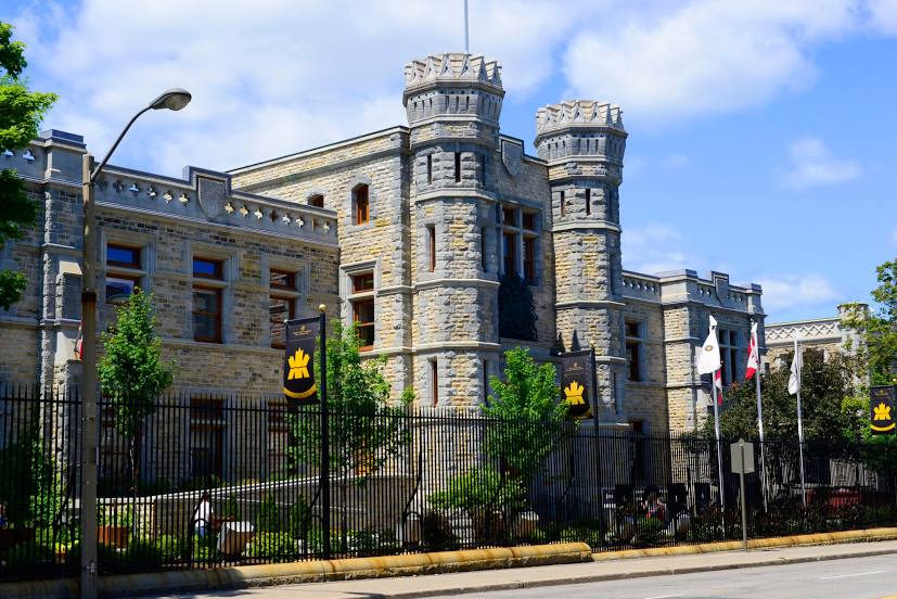
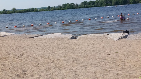
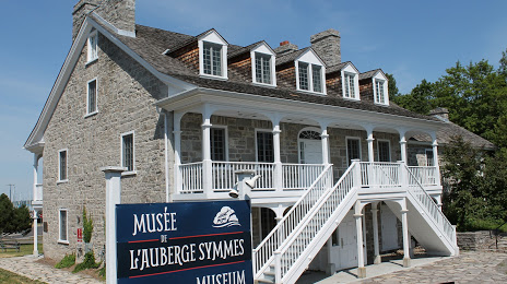
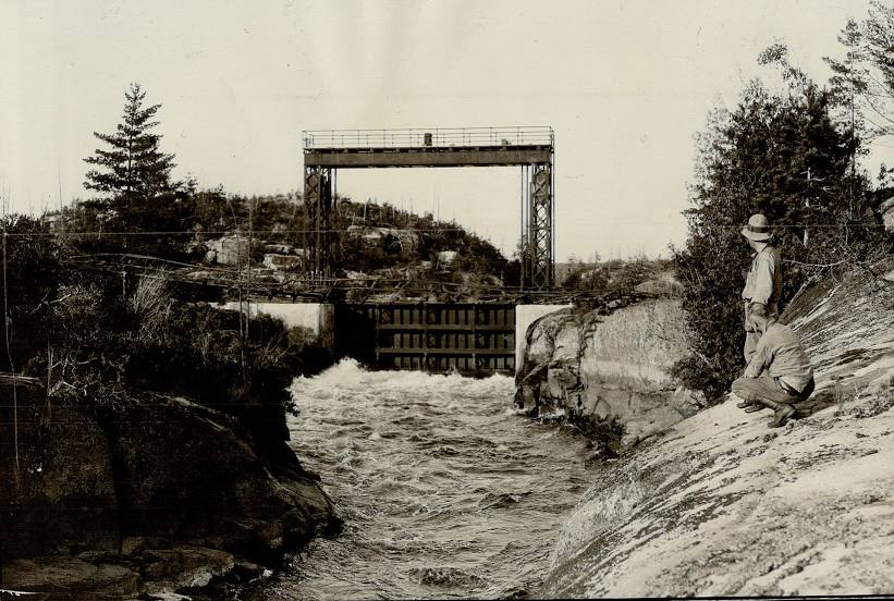
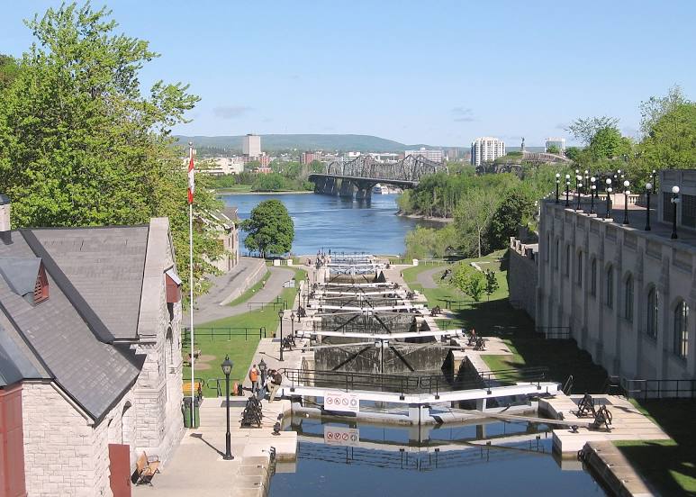
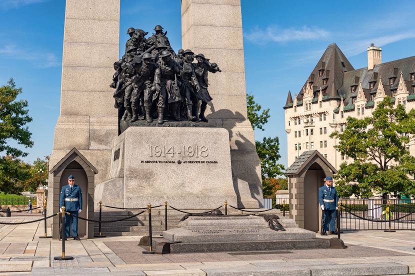
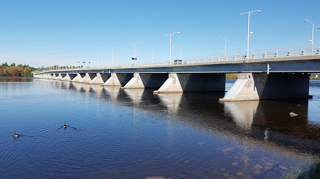
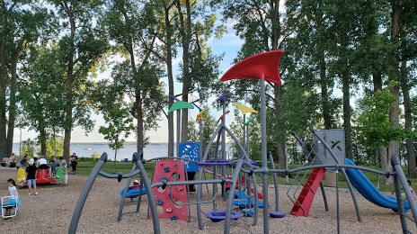
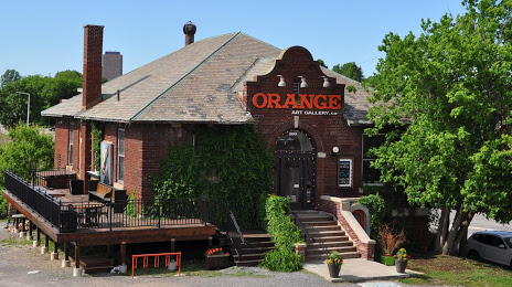
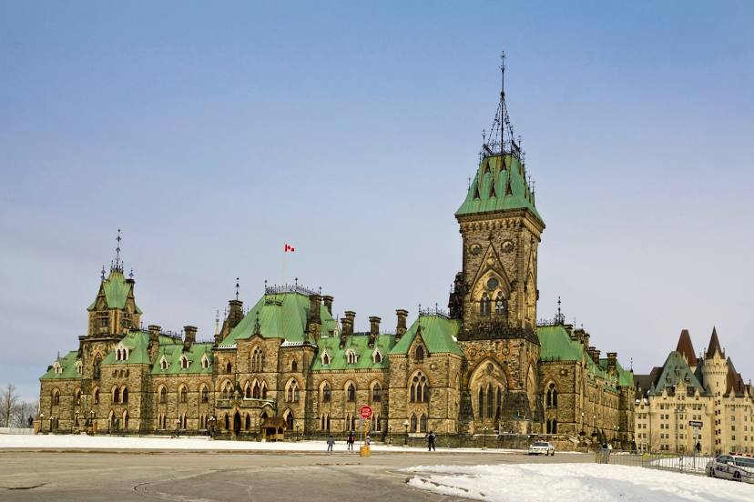
Attractions


Distance to the capital
Distance to the capital (Ottawa) is about — 6 km.