 Grande Prairie
New Westminster
Mississauga
Antigonish
Longueuil
Brandon
Markham
Kitchener
Sudbury
Bedford
Dieppe
Burnaby
Charlottetown
Chalk River
Rimouski
Gatineau
Chicoutimi
Sherbrooke
Trois-Rivières
Grande Prairie
New Westminster
Mississauga
Antigonish
Longueuil
Brandon
Markham
Kitchener
Sudbury
Bedford
Dieppe
Burnaby
Charlottetown
Chalk River
Rimouski
Gatineau
Chicoutimi
Sherbrooke
Trois-Rivières
Red Deer on the map, Canada
Where is located Red Deer
Exact location — Red Deer, Division No. 8, Alberta, Canada, marked on the map with a red marker.
Coordinates
Red Deer, Canada coordinates in decimal format: latitude — 52.2681118, longitude — -113.8112386. When converted to degrees, minutes, seconds Red Deer has the following coordinates: 52°16′5.2 north latitude and -113°48′40.46 east longitude.
Population
Red Deer, Division No. 8, Alberta, Canada, according to our data the population is — 73,595 residents, which is about 0.2% of the total population of the country (Canada).
Comparison of the population on the graph:
Exact time
Time zone for this location Red Deer — UTC -6 America/Edmonton. Exact time — friday, 5 may 2024 year, 04 h. 49 minutes.
Sunrise and sunset
Red Deer, sunrise and sunset data for a date — friday 10.05.2024.
| Sunrise | Sunset | Day (duration) |
|---|---|---|
| 05:50 -2 minutes | 21:12 +2 minutes | 15 h. 24 minutes. +4 minutes |
You can control the scale of the map using the auxiliary tools to find out exactly where it is located Red Deer. When you change the scale of the map, the width of the ruler also changes (in kilometers and miles).
Nearby cities
The largest cities that are located nearby:
- Calgary — 136 km
- Edmonton — 143 km
- Kelowna — 483 km
- Saskatoon — 485 km
- Spokane
 (United States) — 576 km
 - Regina — 678 km
- Abbotsford — 712 km
- Coquitlam — 727 km
- Anmore — 729 km
- Surrey — 737 km
- Burnaby — 739 km
- Vancouver — 748 km
- Delta — 754 km
- Richmond — 756 km
- Bellevue (United States) — 810 km
- Seattle (United States) — 818 km
- Victoria — 820 km
- Tacoma (United States) — 853 km
- Boise (United States) — 975 km
Distance to neighboring capitals:
- Washington (United States) — 3179 km
- Nuuk
 (Greenland) — 3693 km
 - Mexico City
 (Mexico) — 3868 km
 - Saint John
 (Puerto Rico) — 5575 km
 - Belgrade
 (Serbia) — 8374 km
 - Podgorica
 (Montenegro) — 8562 km
 - Hagåtña
 (Guam) — 9588 km
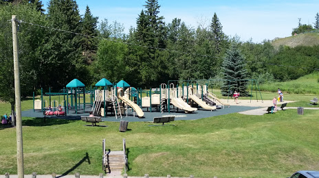
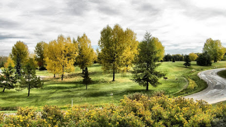
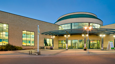
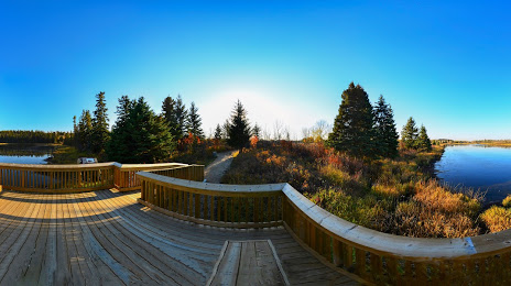
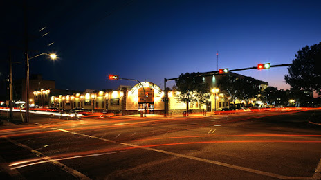
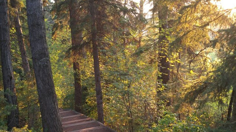
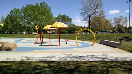
Attractions


Distance to the capital
Distance to the capital (Ottawa) is about — 2855 km.