 Anjou
Val-d'Or
Coquitlam
Peterborough
Verdun
Brampton
Oakville
Cornwall
Collingwood
Salmon Arm
Sherwood Park
Airdrie
Fort Vermilion
Lloydminster
Peace River
Red Deer
Winfield
Extension
Sackville
Anjou
Val-d'Or
Coquitlam
Peterborough
Verdun
Brampton
Oakville
Cornwall
Collingwood
Salmon Arm
Sherwood Park
Airdrie
Fort Vermilion
Lloydminster
Peace River
Red Deer
Winfield
Extension
Sackville
Brandon on the map, Canada
Where is located Brandon
Exact location — Brandon, Division No. 7, Manitoba, Canada, marked on the map with a red marker.
Coordinates
Brandon, Canada coordinates in decimal format: latitude — 49.848471, longitude — -99.9500904. When converted to degrees, minutes, seconds Brandon has the following coordinates: 49°50′54.5 north latitude and -99°57′0.33 east longitude.
Population
Brandon, Division No. 7, Manitoba, Canada, according to our data the population is — 26,234 residents, which is about 0.1% of the total population of the country (Canada).
Comparison of the population on the graph:
Exact time
Time zone for this location Brandon — UTC -5 America/Winnipeg. Exact time — friday, 5 may 2024 year, 13 h. 36 minutes.
Sunrise and sunset
Brandon, sunrise and sunset data for a date — friday 10.05.2024.
| Sunrise | Sunset | Day (duration) |
|---|---|---|
| 06:04 -1 minute | 21:08 +2 minutes | 15 h. 6 minutes. +3 minutes |
You can control the scale of the map using the auxiliary tools to find out exactly where it is located Brandon. When you change the scale of the map, the width of the ruler also changes (in kilometers and miles).
Nearby cities
The largest cities that are located nearby:
- Winnipeg — 200 km
- Regina — 335 km
- Saskatoon — 521 km
- Sioux Falls
 (United States) — 743 km
 - Minneapolis (United States) — 751 km
- Saint Paul (United States) — 762 km
- Edmonton — 979 km
- Calgary — 990 km
- Omaha (United States) — 1006 km
- Lincoln (United States) — 1034 km
- Des Moines (United States) — 1052 km
- Green Bay (United States) — 1110 km
- Fort Collins (United States) — 1111 km
- Madison (United States) — 1134 km
- Thornton (United States) — 1183 km
- Westminster (United States) — 1188 km
- Aurora (United States) — 1193 km
- Arvada (United States) — 1193 km
- Denver (United States) — 1197 km
Distance to neighboring capitals:
- Washington (United States) — 2177 km
- Nuuk
 (Greenland) — 3218 km
 - Mexico City
 (Mexico) — 3384 km
 - Saint John
 (Puerto Rico) — 4605 km
 - Belgrade
 (Serbia) — 8023 km
 - Podgorica
 (Montenegro) — 8178 km
 - Hagåtña
 (Guam) — 10584 km
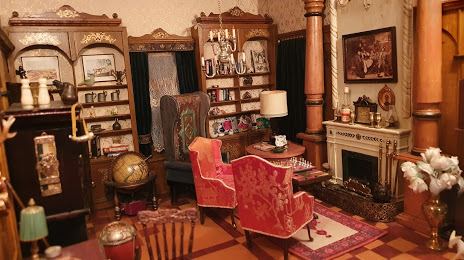
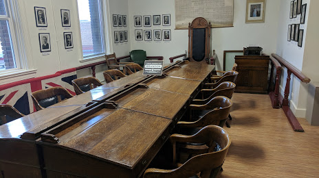
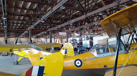
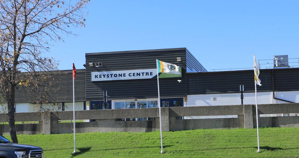
Attractions


Distance to the capital
Distance to the capital (Ottawa) is about — 1874 km.