 Côte Saint-Luc
Saint-Laurent
York
Whitby
Oshawa
Aurora
Moncton
Surrey
Flin Flon
Barrie
Woodstock
Regina
Sudbury
Kitchener
Markham
Brandon
Longueuil
Antigonish
Mississauga
Côte Saint-Luc
Saint-Laurent
York
Whitby
Oshawa
Aurora
Moncton
Surrey
Flin Flon
Barrie
Woodstock
Regina
Sudbury
Kitchener
Markham
Brandon
Longueuil
Antigonish
Mississauga
Brampton on the map, Canada
Where is located Brampton
Exact location — Brampton, Peel Regional Municipality, Ontario, Canada, marked on the map with a red marker.
Coordinates
Brampton, Canada coordinates in decimal format: latitude — 43.7315479, longitude — -79.7624177. When converted to degrees, minutes, seconds Brampton has the following coordinates: 43°43′53.57 north latitude and -79°45′44.7 east longitude.
Population
Brampton, Peel Regional Municipality, Ontario, Canada, according to our data the population is — 433,806 residents, which is about 1.1% of the total population of the country (Canada).
Comparison of the population on the graph:
Exact time
Time zone for this location Brampton — UTC -4 America/Toronto. Exact time — friday, 5 may 2024 year, 12 h. 58 minutes.
Sunrise and sunset
Brampton, sunrise and sunset data for a date — friday 10.05.2024.
| Sunrise | Sunset | Day (duration) |
|---|---|---|
| 06:01 -2 minutes | 20:28 +1 minute | 14 h. 30 minutes. +3 minutes |
You can control the scale of the map using the auxiliary tools to find out exactly where it is located Brampton. When you change the scale of the map, the width of the ruler also changes (in kilometers and miles).
Nearby cities
The largest cities that are located nearby:
- Mississauga — 18 km
- Vaughan — 23 km
- Oakville — 30 km
- Richmond Hill — 31 km
- Toronto — 32 km
- Markham — 37 km
- Guelph — 44 km
- Burlington — 45 km
- Hamilton — 54 km
- Cambridge — 60 km
- Kitchener — 67 km
- Waterloo — 68 km
- Whitby — 68 km
- Barrie — 73 km
- Oshawa — 74 km
- Saint Catharines — 76 km
- Amherst
 (United States) — 115 km
 - Buffalo (United States) — 118 km
- London — 145 km
Distance to neighboring capitals:
- Washington (United States) — 583 km
- Nuuk
 (Greenland) — 2873 km
 - Saint John
 (Puerto Rico) — 3087 km
 - Mexico City
 (Mexico) — 3249 km
 - Belgrade
 (Serbia) — 7415 km
 - Podgorica
 (Montenegro) — 7507 km
 - Hagåtña
 (Guam) — 12222 km
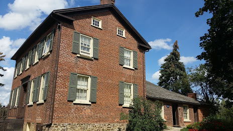
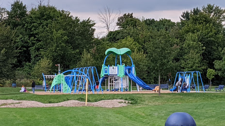
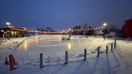
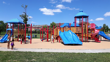
Attractions


Distance to the capital
Distance to the capital (Ottawa) is about — 373 km.