 North Bay
Fairview
Vermilion
Medicine Hat
Kamloops
Laval
Okotoks
Victoriaville
Temiskaming Shores
Lethbridge
Owen Sound
Collingwood
Cornwall
Oakville
Brampton
Verdun
Peterborough
Coquitlam
Val-d'Or
North Bay
Fairview
Vermilion
Medicine Hat
Kamloops
Laval
Okotoks
Victoriaville
Temiskaming Shores
Lethbridge
Owen Sound
Collingwood
Cornwall
Oakville
Brampton
Verdun
Peterborough
Coquitlam
Val-d'Or
Oshawa on the map, Canada
Where is located Oshawa
Exact location — Oshawa, Durham Regional Municipality, Ontario, Canada, marked on the map with a red marker.
Coordinates
Oshawa, Canada coordinates in decimal format: latitude — 43.8970929, longitude — -78.8657912. When converted to degrees, minutes, seconds Oshawa has the following coordinates: 43°53′49.53 north latitude and -78°51′56.85 east longitude.
Population
Oshawa, Durham Regional Municipality, Ontario, Canada, according to our data the population is — 247,989 residents, which is about 0.7% of the total population of the country (Canada).
Comparison of the population on the graph:
Exact time
Time zone for this location Oshawa — UTC -4 America/Toronto. Exact time — saturday, 5 may 2024 year, 18 h. 13 minutes.
Sunrise and sunset
Oshawa, sunrise and sunset data for a date — saturday 11.05.2024.
| Sunrise | Sunset | Day (duration) |
|---|---|---|
| 05:56 -1 minute | 20:26 +1 minute | 14 h. 30 minutes. +2 minutes |
You can control the scale of the map using the auxiliary tools to find out exactly where it is located Oshawa. When you change the scale of the map, the width of the ruler also changes (in kilometers and miles).
Nearby cities
The largest cities that are located nearby:
- Whitby — 6 km
- Markham — 38 km
- Richmond Hill — 46 km
- Toronto — 49 km
- Vaughan — 52 km
- Mississauga — 71 km
- Brampton — 74 km
- Oakville — 81 km
- Barrie — 85 km
- Saint Catharines — 87 km
- Burlington — 98 km
- Amherst
 (United States) — 102 km
 - Hamilton — 108 km
- Buffalo (United States) — 112 km
- Guelph — 117 km
- Rochester (United States) — 130 km
- Cambridge — 131 km
- Kitchener — 140 km
- Boston (United States) — 141 km
Distance to neighboring capitals:
- Washington (United States) — 576 km
- Nuuk
 (Greenland) — 2823 km
 - Saint John
 (Puerto Rico) — 3070 km
 - Mexico City
 (Mexico) — 3310 km
 - Belgrade
 (Serbia) — 7348 km
 - Podgorica
 (Montenegro) — 7438 km
 - Hagåtña
 (Guam) — 12261 km
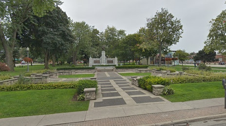
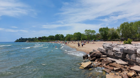
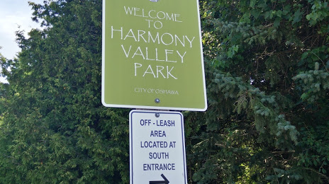
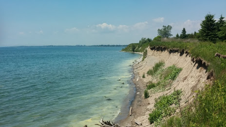
Attractions


Distance to the capital
Distance to the capital (Ottawa) is about — 303 km.