 Prince George
Port Moody
Levis
Mont-Joli
Thunder Bay
Mount Pearl
Welland
Timmins
Langley
Kelowna
Blainville
Carbonear
Flin Flon
Surrey
Moncton
Aurora
Oshawa
Whitby
York
Prince George
Port Moody
Levis
Mont-Joli
Thunder Bay
Mount Pearl
Welland
Timmins
Langley
Kelowna
Blainville
Carbonear
Flin Flon
Surrey
Moncton
Aurora
Oshawa
Whitby
York
Okotoks on the map, Canada
Where is located Okotoks
Exact location — Okotoks, Division No. 6, Alberta, Canada, marked on the map with a red marker.
Coordinates
Okotoks, Canada coordinates in decimal format: latitude — 50.7254936, longitude — -113.9749472. When converted to degrees, minutes, seconds Okotoks has the following coordinates: 50°43′31.78 north latitude and -113°58′29.81 east longitude.
Population
Okotoks, Division No. 6, Alberta, Canada, according to our data the population is — 14,827 residents, which is about 0% of the total population of the country (Canada).
Comparison of the population on the graph:
Exact time
Time zone for this location Okotoks — UTC -6 America/Edmonton. Exact time — monday, 5 may 2024 year, 18 h. 13 minutes.
Sunrise and sunset
Okotoks, sunrise and sunset data for a date — monday 13.05.2024.
| Sunrise | Sunset | Day (duration) |
|---|---|---|
| 05:52 -2 minutes | 21:11 +1 minute | 15 h. 18 minutes. +3 minutes |
You can control the scale of the map using the auxiliary tools to find out exactly where it is located Okotoks. When you change the scale of the map, the width of the ruler also changes (in kilometers and miles).
Nearby cities
The largest cities that are located nearby:
- Calgary — 36 km
- Edmonton — 313 km
- Kelowna — 404 km
- Spokane
 (United States) — 425 km
 - Saskatoon — 520 km
- Abbotsford — 633 km
- Coquitlam — 656 km
- Anmore — 659 km
- Regina — 660 km
- Surrey — 664 km
- Burnaby — 668 km
- Vancouver — 679 km
- Delta — 680 km
- Richmond — 684 km
- Bellevue (United States) — 703 km
- Seattle (United States) — 712 km
- Victoria — 734 km
- Tacoma (United States) — 743 km
- Boise (United States) — 806 km
Distance to neighboring capitals:
- Washington (United States) — 3155 km
- Mexico City
 (Mexico) — 3718 km
 - Nuuk
 (Greenland) — 3824 km
 - Saint John
 (Puerto Rico) — 5518 km
 - Belgrade
 (Serbia) — 8526 km
 - Podgorica
 (Montenegro) — 8712 km
 - Hagåtña
 (Guam) — 9628 km
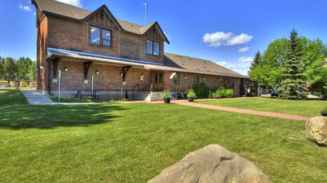
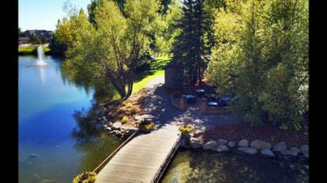
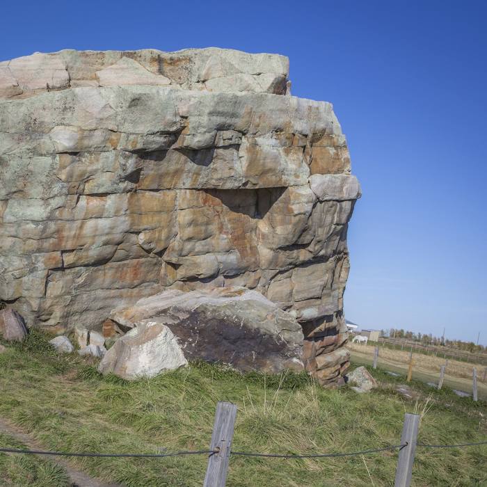
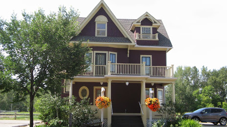
Attractions


Distance to the capital
Distance to the capital (Ottawa) is about — 2871 km.