 Port Hawkesbury
Richmond Hill
Scotia
Burlington
Pointe-Claire
Gloucester
Whitehorse
Lacombe
Yellowknife
Selkirk
Smithers
Penticton
Temiskaming Shores
Victoriaville
Okotoks
Laval
Kamloops
Medicine Hat
Vermilion
Port Hawkesbury
Richmond Hill
Scotia
Burlington
Pointe-Claire
Gloucester
Whitehorse
Lacombe
Yellowknife
Selkirk
Smithers
Penticton
Temiskaming Shores
Victoriaville
Okotoks
Laval
Kamloops
Medicine Hat
Vermilion
Thunder Bay on the map, Canada
Where is located Thunder Bay
Exact location — Thunder Bay, Thunder Bay District, Ontario, Canada, marked on the map with a red marker.
Coordinates
Thunder Bay, Canada coordinates in decimal format: latitude — 48.3808951, longitude — -89.2476823. When converted to degrees, minutes, seconds Thunder Bay has the following coordinates: 48°22′51.22 north latitude and -89°14′51.66 east longitude.
Population
Thunder Bay, Thunder Bay District, Ontario, Canada, according to our data the population is — 99,336 residents, which is about 0.3% of the total population of the country (Canada).
Comparison of the population on the graph:
Exact time
Time zone for this location Thunder Bay — UTC -4 America/Toronto. Exact time — saturday, 5 may 2024 year, 07 h. 55 minutes.
Sunrise and sunset
Thunder Bay, sunrise and sunset data for a date — saturday 11.05.2024.
| Sunrise | Sunset | Day (duration) |
|---|---|---|
| 06:24 -2 minutes | 21:21 +1 minute | 15 h. 0 minutes. +3 minutes |
You can control the scale of the map using the auxiliary tools to find out exactly where it is located Thunder Bay. When you change the scale of the map, the width of the ruler also changes (in kilometers and miles).
Nearby cities
The largest cities that are located nearby:
- Green Bay
 (United States) — 438 km
 - Saint Paul (United States) — 484 km
- Minneapolis (United States) — 490 km
- Winnipeg — 586 km
- Madison (United States) — 587 km
- Milwaukee (United States) — 600 km
- Grand Rapids (United States) — 665 km
- Rockford (United States) — 676 km
- Chicago (United States) — 731 km
- Lansing (United States) — 732 km
- Aurora (United States) — 736 km
- Naperville (United States) — 739 km
- Flint (United States) — 745 km
- Joliet (United States) — 764 km
- South Bend (United States) — 781 km
- Sioux Falls (United States) — 803 km
- Ann Arbor (United States) — 811 km
- Sterling Heights (United States) — 817 km
- Warren (United States) — 824 km
Distance to neighboring capitals:
- Washington (United States) — 1437 km
- Nuuk
 (Greenland) — 2839 km
 - Mexico City
 (Mexico) — 3340 km
 - Saint John
 (Puerto Rico) — 3927 km
 - Belgrade
 (Serbia) — 7610 km
 - Podgorica
 (Montenegro) — 7739 km
 - Hagåtña
 (Guam) — 11329 km
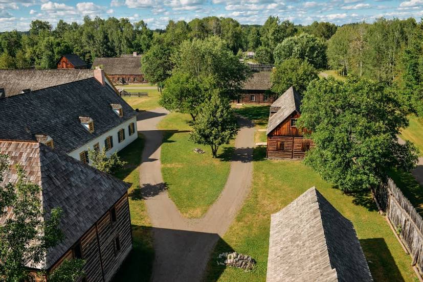
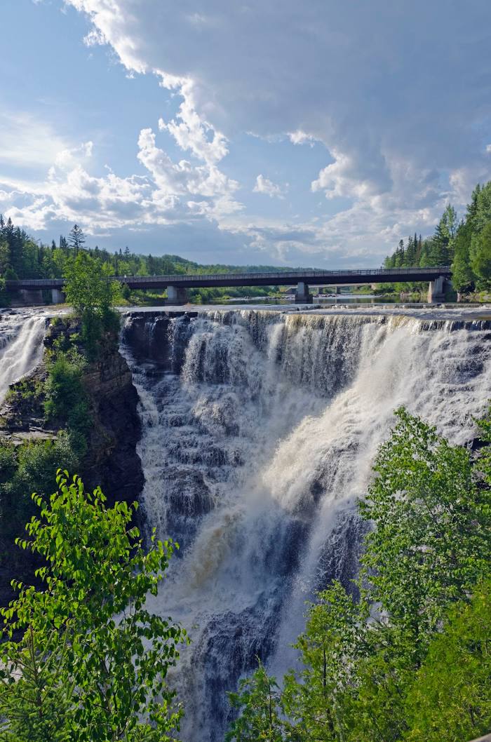
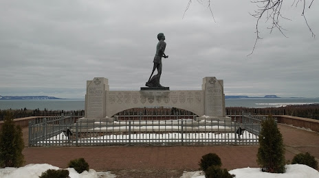
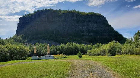
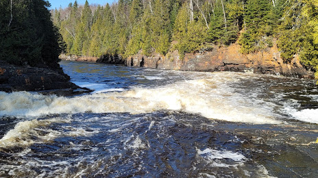
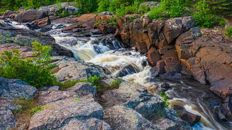
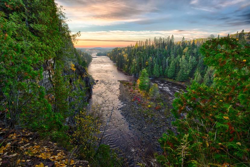
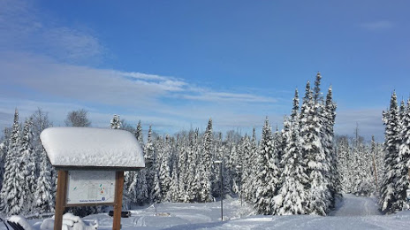
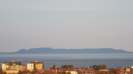
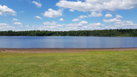
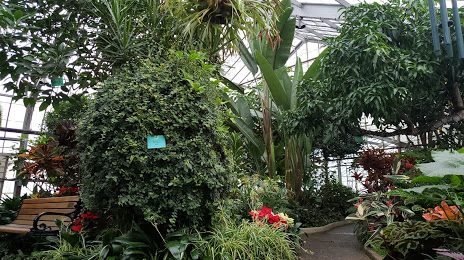
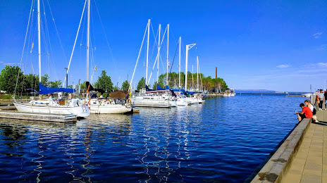
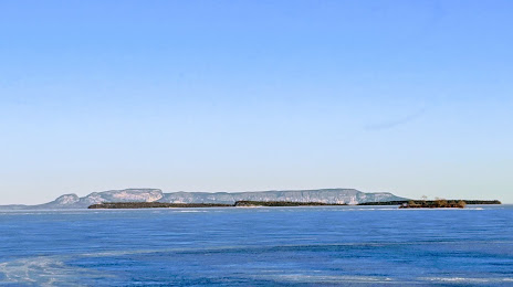
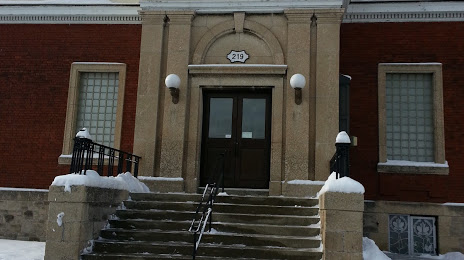
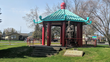
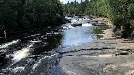
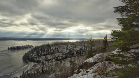
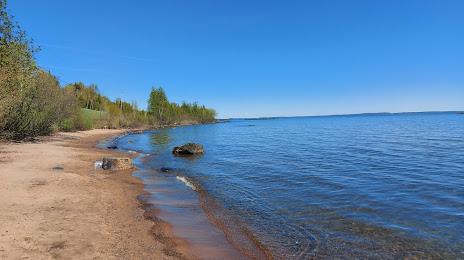
Attractions


Distance to the capital
Distance to the capital (Ottawa) is about — 1079 km.