 Vermilion
Medicine Hat
Kamloops
Laval
Okotoks
Victoriaville
Temiskaming Shores
Penticton
Smithers
Richmond
Fort McMurray
Lethbridge
Owen Sound
Collingwood
Cornwall
Oakville
Brampton
Verdun
Peterborough
Vermilion
Medicine Hat
Kamloops
Laval
Okotoks
Victoriaville
Temiskaming Shores
Penticton
Smithers
Richmond
Fort McMurray
Lethbridge
Owen Sound
Collingwood
Cornwall
Oakville
Brampton
Verdun
Peterborough
Moncton on the map, Canada
Where is located Moncton
Exact location — Moncton, Westmorland County, New Brunswick, Canada, marked on the map with a red marker.
Coordinates
Moncton, Canada coordinates in decimal format: latitude — 46.0878165, longitude — -64.7782313. When converted to degrees, minutes, seconds Moncton has the following coordinates: 46°5′16.14 north latitude and -64°46′41.63 east longitude.
Population
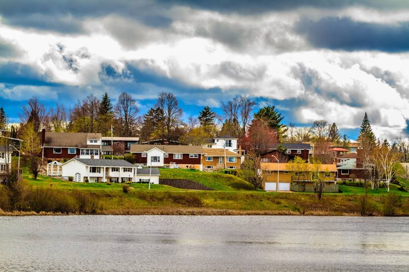
Moncton, Westmorland County, New Brunswick, Canada, according to our data the population is — 87,467 residents, which is about 0.2% of the total population of the country (Canada).
Comparison of the population on the graph:
Exact time
Time zone for this location Moncton — UTC -3 America/Halifax. Exact time — saturday, 5 may 2024 year, 05 h. 19 minutes.
Sunrise and sunset
Moncton, sunrise and sunset data for a date — saturday 11.05.2024.
| Sunrise | Sunset | Day (duration) |
|---|---|---|
| 05:54 -1 minute | 20:36 +1 minute | 14 h. 42 minutes. +2 minutes |
You can control the scale of the map using the auxiliary tools to find out exactly where it is located Moncton. When you change the scale of the map, the width of the ruler also changes (in kilometers and miles).
Nearby cities
The largest cities that are located nearby:
- Dartmouth — 184 km
- Halifax — 185 km
- Levis — 495 km
- Quebec — 496 km
- Saguenay — 529 km
- Sherbrooke — 557 km
- Trois-Rivières — 593 km
- Manchester
 (United States) — 639 km
 - Lowell (United States) — 655 km
- Boston (United States) — 658 km
- Cambridge (United States) — 660 km
- Longueuil — 679 km
- Montreal — 684 km
- Laval — 693 km
- Worcester (United States) — 714 km
- Providence (United States) — 722 km
- Amherst (United States) — 755 km
- Springfield (United States) — 778 km
- Hartford (United States) — 809 km
Distance to neighboring capitals:
- Washington (United States) — 1281 km
- Nuuk
 (Greenland) — 2166 km
 - Saint John
 (Puerto Rico) — 3075 km
 - Mexico City
 (Mexico) — 4313 km
 - Belgrade
 (Serbia) — 6311 km
 - Podgorica
 (Montenegro) — 6380 km
 - Hagåtña
 (Guam) — 12766 km
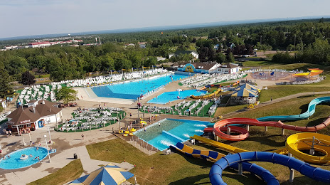
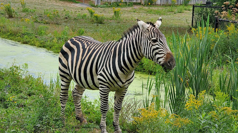
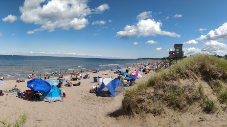
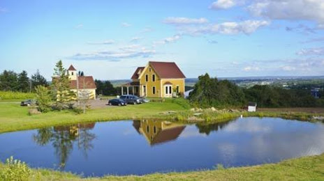
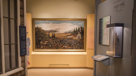
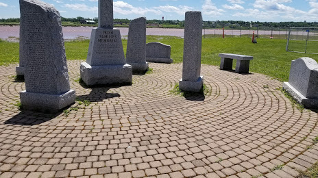
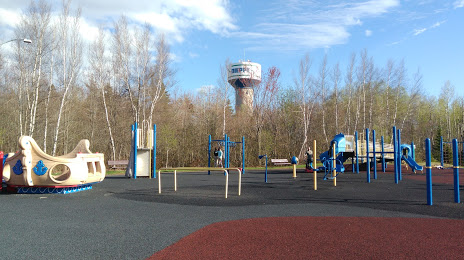
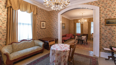
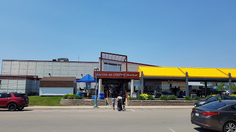
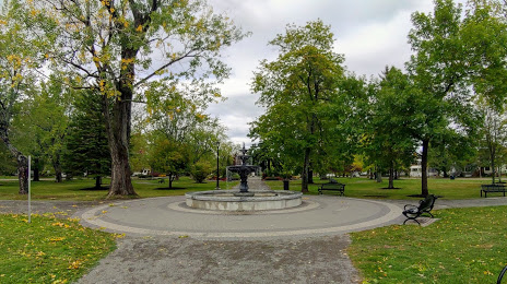
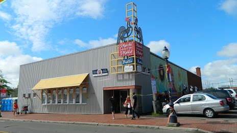
Attractions


Distance to the capital
Distance to the capital (Ottawa) is about — 850 km.