 Verdun
Brampton
Oakville
Cornwall
Collingwood
Owen Sound
Lethbridge
Fort McMurray
Richmond
Nisku
Leduc
Duncan
Nanaimo
Salmon Arm
Sherwood Park
Airdrie
Fort Vermilion
Lloydminster
Peace River
Verdun
Brampton
Oakville
Cornwall
Collingwood
Owen Sound
Lethbridge
Fort McMurray
Richmond
Nisku
Leduc
Duncan
Nanaimo
Salmon Arm
Sherwood Park
Airdrie
Fort Vermilion
Lloydminster
Peace River
Regina on the map, Canada
Where is located Regina
Exact location — Regina, Division No. 6, Saskatchewan, Canada, marked on the map with a red marker.
Coordinates
Regina, Canada coordinates in decimal format: latitude — 50.454722, longitude — -104.606667. When converted to degrees, minutes, seconds Regina has the following coordinates: 50°27′17 north latitude and -104°36′24 east longitude.
Population
Regina, Division No. 6, Saskatchewan, Canada, according to our data the population is — 176,182 residents, which is about 0.5% of the total population of the country (Canada).
Comparison of the population on the graph:
Exact time
Time zone for this location Regina — UTC -6 America/Regina. Exact time — thursday, 5 may 2024 year, 21 h. 08 minutes.
Sunrise and sunset
Regina, sunrise and sunset data for a date — thursday 9.05.2024.
| Sunrise | Sunset | Day (duration) |
|---|---|---|
| 05:22 -1 minute | 20:27 +2 minutes | 15 h. 6 minutes. +3 minutes |
You can control the scale of the map using the auxiliary tools to find out exactly where it is located Regina. When you change the scale of the map, the width of the ruler also changes (in kilometers and miles).
Nearby cities
The largest cities that are located nearby:
- Saskatoon — 232 km
- Winnipeg — 536 km
- Calgary — 661 km
- Edmonton — 676 km
- Sioux Falls
 (United States) — 991 km
 - Spokane (United States) — 1003 km
- Kelowna — 1063 km
- Minneapolis (United States) — 1074 km
- Saint Paul (United States) — 1087 km
- Fort Collins (United States) — 1092 km
- Thornton (United States) — 1171 km
- Westminster (United States) — 1174 km
- Arvada (United States) — 1178 km
- Denver (United States) — 1185 km
- Aurora (United States) — 1186 km
- Lakewood (United States) — 1189 km
- Boise (United States) — 1198 km
- Salt Lake City (United States) — 1233 km
- Omaha (United States) — 1244 km
Distance to neighboring capitals:
- Washington (United States) — 2509 km
- Nuuk
 (Greenland) — 3394 km
 - Mexico City
 (Mexico) — 3484 km
 - Saint John
 (Puerto Rico) — 4917 km
 - Belgrade
 (Serbia) — 8177 km
 - Podgorica
 (Montenegro) — 8344 km
 - Hagåtña
 (Guam) — 10257 km
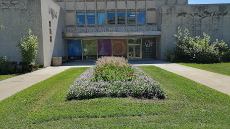
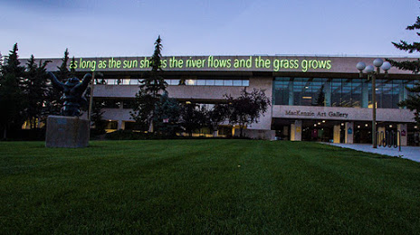
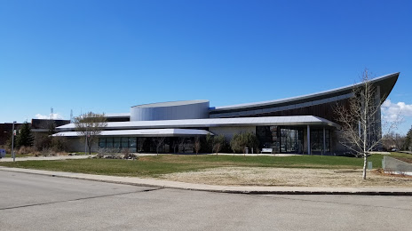
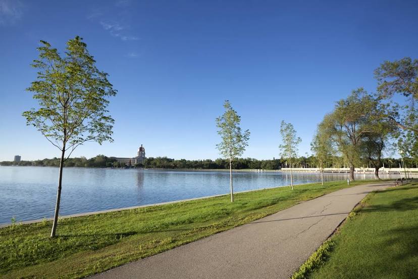
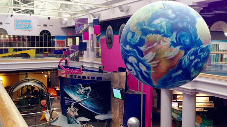
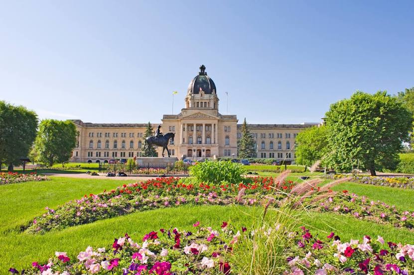
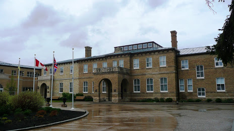
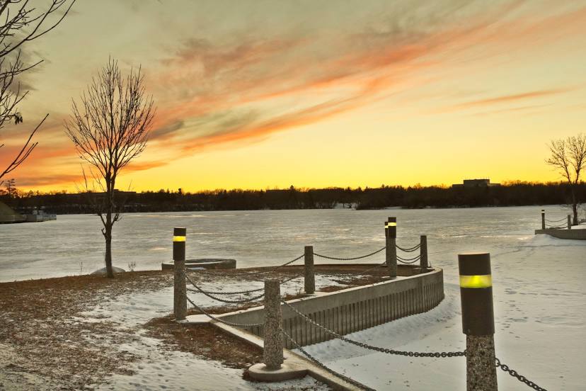
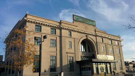
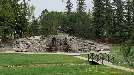
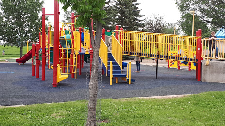
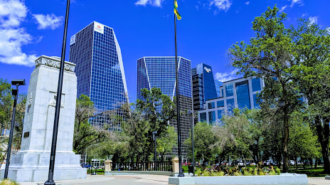
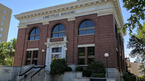
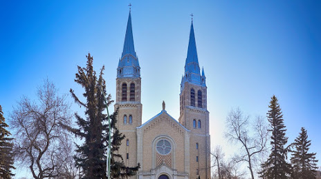
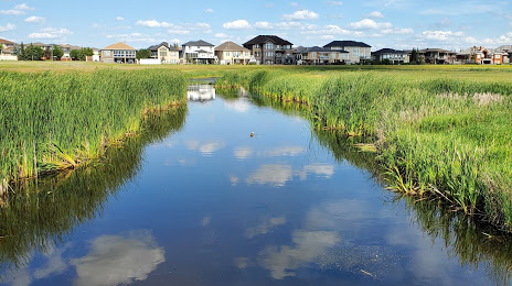
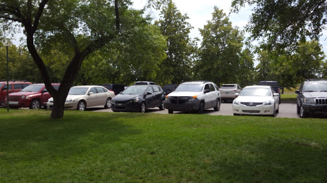
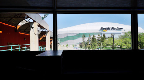
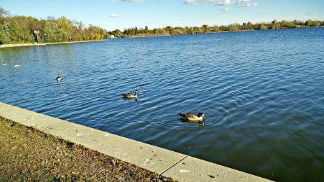
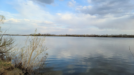
Attractions


Distance to the capital
Distance to the capital (Ottawa) is about — 2210 km.