 Coquitlam
Peterborough
Verdun
Brampton
Oakville
Cornwall
Collingwood
Owen Sound
Lethbridge
Duncan
Nanaimo
Salmon Arm
Sherwood Park
Airdrie
Fort Vermilion
Lloydminster
Peace River
Red Deer
Winfield
Coquitlam
Peterborough
Verdun
Brampton
Oakville
Cornwall
Collingwood
Owen Sound
Lethbridge
Duncan
Nanaimo
Salmon Arm
Sherwood Park
Airdrie
Fort Vermilion
Lloydminster
Peace River
Red Deer
Winfield
Kitchener on the map, Canada
Where is located Kitchener
Exact location — Kitchener, Waterloo Regional Municipality, Ontario, Canada, marked on the map with a red marker.
Coordinates
Kitchener, Canada coordinates in decimal format: latitude — 43.4129238, longitude — -80.4771472. When converted to degrees, minutes, seconds Kitchener has the following coordinates: 43°24′46.53 north latitude and -80°28′37.73 east longitude.
Population
Kitchener, Waterloo Regional Municipality, Ontario, Canada, according to our data the population is — 409,111 residents, which is about 1.1% of the total population of the country (Canada).
Comparison of the population on the graph:
Exact time
Time zone for this location Kitchener — UTC -4 America/Toronto. Exact time — friday, 5 may 2024 year, 12 h. 29 minutes.
Sunrise and sunset
Kitchener, sunrise and sunset data for a date — friday 10.05.2024.
| Sunrise | Sunset | Day (duration) |
|---|---|---|
| 06:05 -1 minute | 20:31 +2 minutes | 14 h. 24 minutes. +3 minutes |
You can control the scale of the map using the auxiliary tools to find out exactly where it is located Kitchener. When you change the scale of the map, the width of the ruler also changes (in kilometers and miles).
Nearby cities
The largest cities that are located nearby:
- Waterloo — 7 km
- Cambridge — 14 km
- Guelph — 23 km
- Hamilton — 52 km
- Burlington — 55 km
- Oakville — 64 km
- Brampton — 67 km
- Mississauga — 69 km
- London — 78 km
- Vaughan — 90 km
- Toronto — 91 km
- Richmond Hill — 98 km
- Saint Catharines — 103 km
- Markham — 103 km
- Barrie — 125 km
- Whitby — 133 km
- Oshawa — 139 km
- Buffalo
 (United States) — 142 km
 - Amherst (United States) — 145 km
Distance to neighboring capitals:
- Washington (United States) — 578 km
- Nuuk
 (Greenland) — 2931 km
 - Saint John
 (Puerto Rico) — 3084 km
 - Mexico City
 (Mexico) — 3185 km
 - Belgrade
 (Serbia) — 7482 km
 - Podgorica
 (Montenegro) — 7574 km
 - Hagåtña
 (Guam) — 12204 km
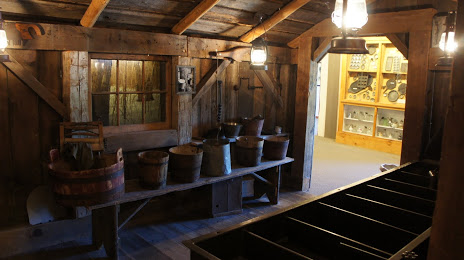
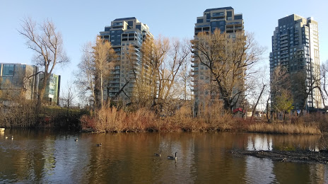
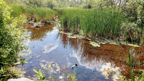
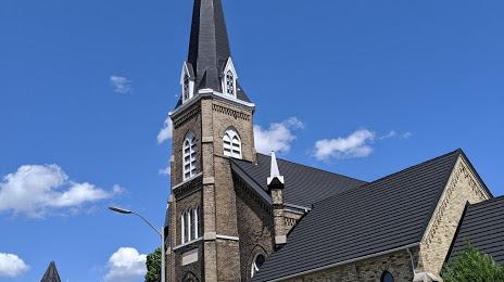
Attractions


Distance to the capital
Distance to the capital (Ottawa) is about — 440 km.