Pontal do Paraná — Bocaiúva do Sul
Pontal do Paraná — Sorocaba
Pontal do Paraná — Ferreiros
Pontal do Paraná — Agudo
Pontal do Paraná — Anhumas
Pontal do Paraná — Marilac
Pontal do Paraná — Santana do Paraíso
Pontal do Paraná — Mirador
Pontal do Paraná — Jaguaribe
Pontal do Paraná — Faxinal dos Guedes
Pontal do Paraná — Pacatuba
Pontal do Paraná — Cândido Mota
Pontal do Paraná — Cerro Largo
Pontal do Paraná — Camaragibe
Pontal do Paraná — Porto Grande
Pontal do Paraná — Virgem da Lapa
Pontal do Paraná — Matelândia
Pontal do Paraná — Águas Frias
Pontal do Paraná — Bela Vista
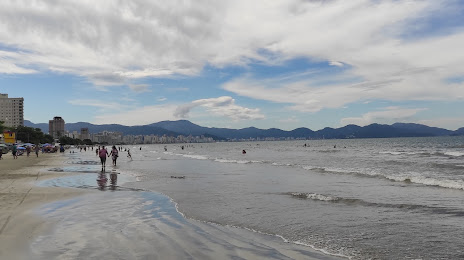
Matinhos
Matinhos
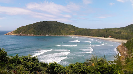
Guaratuba
Garuva
Joinville
São João do Itaperiú
Barra Velha
Piçarras
Itajaí
Itajaí
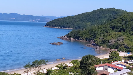
Camboriú
Camboriú
Itapema
Itapema
Meia Praia
Pontal do Paraná — Bocaiúva do Sul
Pontal do Paraná — Sorocaba
Pontal do Paraná — Ferreiros
Pontal do Paraná — Agudo
Pontal do Paraná — Anhumas
Pontal do Paraná — Marilac
Pontal do Paraná — Santana do Paraíso
Pontal do Paraná — Mirador
Pontal do Paraná — Jaguaribe
Pontal do Paraná — Faxinal dos Guedes
Pontal do Paraná — Pacatuba
Pontal do Paraná — Cândido Mota
Pontal do Paraná — Cerro Largo
Pontal do Paraná — Camaragibe
Pontal do Paraná — Porto Grande
Pontal do Paraná — Virgem da Lapa
Pontal do Paraná — Matelândia
Pontal do Paraná — Águas Frias
Pontal do Paraná — Bela Vista
Matinhos
Matinhos
Guaratuba
Garuva
Joinville
São João do Itaperiú
Barra Velha
Piçarras
Itajaí
Itajaí
Camboriú
Camboriú
Itapema
Itapema
Meia Praia
Pontal do Paraná — Tijucas distance, route on the map
Distance by car
Distance between Pontal do Paraná, State of Paraná, Brazil and Tijucas, Santa Catarina, Brazil by car is — km, or miles. To travel this distance by car, you need minute, or h.
Route on the map, driving directions
Car route Pontal do Paraná — Tijucas was created automatically. The road on the map is shown as a blue line. By moving the markers, you can create a new route through the points you need.
Passing cities through which the car route passes: Pontal do Paraná, Matinhos, Matinhos, Guaratuba, Garuva, Joinville, São João do Itaperiú, Barra Velha, Piçarras, Itajaí, Itajaí, Camboriú, Camboriú, Itapema, Itapema, Meia Praia.
Distance by plane
If you decide to take a trip Pontal do Paraná Tijucas by plane, then you have to fly the distance — 174 km or 108 miles. It is marked on the map with a gray line (between two points in a straight line).
Flight time
Estimated flight time Pontal do Paraná Tijucas by plane at cruising speed 750 km / h will be — 13 min.
Direction of movement
Brazil, Pontal do Paraná — right-hand traffic. Brazil, Tijucas — right-hand traffic.
Difference in time
Pontal do Paraná and Tijucas are in the same time zone. Between them there is no time difference (UTC -3 America/Sao_Paulo).
Interesting Facts
Information on alternative ways to get to your destination.
The length of this distance is about 0.4% of the total length of the equator.
The percentage of the population is clearly shown in the graph:
Pontal do Paraná — 14,969 (less by 7,512), Tijucas — 22,481 residents.
The cost of travel
Calculate the cost of the trip yourself using the fuel consumption calculator, changing the data in the table.