Ponta Grossa — São João do Ivaí
Ponta Grossa — Laranja da Terra
Ponta Grossa — Águas Claras
Ponta Grossa — Frecheirinha
Ponta Grossa — Grande
Ponta Grossa — Itambacuri
Ponta Grossa — Ipaba
Ponta Grossa — Jaquirana
Ponta Grossa — Vigia
Ponta Grossa — Governador Jorge Teixeira
Ponta Grossa — Santana do Ipanema
Ponta Grossa — Vila Boa
Ponta Grossa — Tavares
Ponta Grossa — Farias Brito
Ponta Grossa — Cupira
Ponta Grossa — Janaúba
Ponta Grossa — Sarzedo
Ponta Grossa — Contagem
Ponta Grossa — Sacramento
Lapa
Campo do Tenente
Rio Negro
Mafra
Papanduva
Monte Castelo
Residência Fuck
Santa Cecília
Correia Pinto
Lages
Lages
Capão Alto
Vacaria
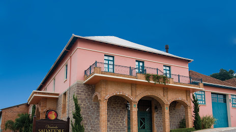
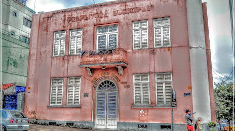
Antônio Prado
Ponta Grossa — São João do Ivaí
Ponta Grossa — Laranja da Terra
Ponta Grossa — Águas Claras
Ponta Grossa — Frecheirinha
Ponta Grossa — Grande
Ponta Grossa — Itambacuri
Ponta Grossa — Ipaba
Ponta Grossa — Jaquirana
Ponta Grossa — Vigia
Ponta Grossa — Governador Jorge Teixeira
Ponta Grossa — Santana do Ipanema
Ponta Grossa — Vila Boa
Ponta Grossa — Tavares
Ponta Grossa — Farias Brito
Ponta Grossa — Cupira
Ponta Grossa — Janaúba
Ponta Grossa — Sarzedo
Ponta Grossa — Contagem
Ponta Grossa — Sacramento
Lapa
Campo do Tenente
Rio Negro
Mafra
Papanduva
Monte Castelo
Residência Fuck
Santa Cecília
Correia Pinto
Lages
Lages
Capão Alto
Vacaria
Antônio Prado
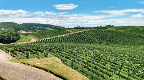
Ponta Grossa — Flores da Cunha distance, route on the map
Distance by car
Distance between Ponta Grossa, State of Paraná, Brazil and Flores da Cunha, Rio Grande do Sul, Brazil by car is — km, or miles. To travel this distance by car, you need minute, or h.
Route on the map, driving directions
Car route Ponta Grossa — Flores da Cunha was created automatically. The road on the map is shown as a blue line. By moving the markers, you can create a new route through the points you need.
Passing cities through which the car route passes: Palmeira, Lapa, Campo do Tenente, Rio Negro, Mafra, Papanduva, Monte Castelo, Residência Fuck, Santa Cecília, Correia Pinto, Lages, Lages, Capão Alto, Vacaria, Antônio Prado.
Distance by plane
If you decide to take a trip Ponta Grossa Flores da Cunha by plane, then you have to fly the distance — 449 km or 278 miles. It is marked on the map with a gray line (between two points in a straight line).
Flight time
Estimated flight time Ponta Grossa Flores da Cunha by plane at cruising speed 750 km / h will be — 35 min.
Direction of movement
Brazil, Ponta Grossa — right-hand traffic. Brazil, Flores da Cunha — right-hand traffic.
Difference in time
Ponta Grossa and Flores da Cunha are in the same time zone. Between them there is no time difference (UTC -3 America/Sao_Paulo).
Interesting Facts
Information on alternative ways to get to your destination.
The length of this distance is about 1.1% of the total length of the equator.
The percentage of the population is clearly shown in the graph:
Ponta Grossa — 292,177, Flores da Cunha — 20,522 residents (less by 271,655).
The cost of travel
Calculate the cost of the trip yourself using the fuel consumption calculator, changing the data in the table.