Bountiful — Maury
Bountiful — Newell
Bountiful — Carmel-by-the-Sea
Bountiful — Lattimore
Bountiful — Alberton
Bountiful — Silio
Bountiful — Owls Head
Bountiful — Bicknell
Bountiful — Perea
Bountiful — Massena
Bountiful — Letcher
Bountiful — Starlight
Bountiful — Boggstown
Bountiful — Odra
Bountiful — Bogdan Airport
Bountiful — Sandusky County
Bountiful — Eureka Springs
Bountiful — Lexington
Bountiful — Tangent
Kaysville
Layton
Clearfield
Riverdale
Washington Terrace
Ogden
Brigham City
Corinne
Honeyville
Tremonton Municipal Airport
Tremonton
Fielding
Arimo
McCammon
Inkom
Pocatello
Fort Hall
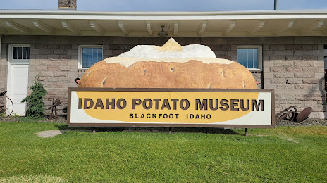
Bountiful — Blackfoot distance, route on the map
Distance by car
Distance between Bountiful, Utah, United States and Blackfoot, Idaho, United States by car is — km, or miles. To travel this distance by car, you need minute, or h.
Route on the map, driving directions
Car route Bountiful — Blackfoot was created automatically. The road on the map is shown as a blue line. By moving the markers, you can create a new route through the points you need.
Passing cities through which the car route passes: Centerville, Kaysville, Layton, Clearfield, Riverdale, Washington Terrace, Ogden, Brigham City, Corinne, Honeyville, Tremonton Municipal Airport, Tremonton, Fielding, Arimo, McCammon, Inkom, Pocatello, Fort Hall.
Distance by plane
If you decide to take a trip Bountiful Blackfoot by plane, then you have to fly the distance — 259 km or 161 miles. It is marked on the map with a gray line (between two points in a straight line).
Flight time
Estimated flight time Bountiful Blackfoot by plane at cruising speed 750 km / h will be — 20 min.
Direction of movement
United States, Bountiful — right-hand traffic. United States, Blackfoot — right-hand traffic.
Difference in time
Bountiful and Blackfoot are in the same time zone. Between them there is no time difference (UTC -6 America/Denver).
Interesting Facts
Information on alternative ways to get to your destination.
The length of this distance is about 0.6% of the total length of the equator.
The percentage of the population is clearly shown in the graph:
Bountiful — 42,552, Blackfoot — 10,810 residents (less by 31,742).
The cost of travel
Calculate the cost of the trip yourself using the fuel consumption calculator, changing the data in the table.