 Yellowstone National Park
Arland
Slate
Hebron
Meadow
Oldenburg
Maze
Aluta
Kiln
Stab
Zion
Indiana
Sawyer International Airport-Saw
Cairo
Carmel-by-the-Sea
Corpus Christi
Queens
New York
Belcourt
Yellowstone National Park
Arland
Slate
Hebron
Meadow
Oldenburg
Maze
Aluta
Kiln
Stab
Zion
Indiana
Sawyer International Airport-Saw
Cairo
Carmel-by-the-Sea
Corpus Christi
Queens
New York
Belcourt
Layton on the map, United States
Where is located Layton
Exact location — Layton, Davis County, Utah, United States, marked on the map with a red marker.
Coordinates
Layton, United States coordinates in decimal format: latitude — 41.0602216, longitude — -111.9710529. When converted to degrees, minutes, seconds Layton has the following coordinates: 41°3′36.8 north latitude and -111°58′15.79 east longitude.
Population
Layton, Davis County, Utah, United States, according to our data the population is — 67,311 residents, which is about 0% of the total population of the country (United States).
Comparison of the population on the graph:
Exact time
Time zone for this location Layton — UTC -6 America/Denver. Exact time — saturday, 4 april 2024 year, 23 h. 25 minutes.
Sunrise and sunset
Layton, sunrise and sunset data for a date — saturday 27.04.2024.
| Sunrise | Sunset | Day (duration) |
|---|---|---|
| 06:33 -1 minute | 20:17 +1 minute | 13 h. 42 minutes. +2 minutes |
You can control the scale of the map using the auxiliary tools to find out exactly where it is located Layton. When you change the scale of the map, the width of the ruler also changes (in kilometers and miles).
Nearby cities
The largest cities that are located nearby:
- Salt Lake City — 34 km
- West Valley City — 41 km
- West Jordan — 50 km
- Provo — 95 km
- Boise — 442 km
- Fort Collins — 581 km
- Arvada — 601 km
- Westminster — 604 km
- Lakewood — 605 km
- North Las Vegas — 606 km
- Thornton — 608 km
- Las Vegas — 610 km
- Denver — 611 km
- Henderson — 617 km
- Spring Valley — 621 km
- Aurora — 625 km
- Colorado Springs — 663 km
- Reno — 690 km
- Pueblo — 710 km
Distance to neighboring capitals:
- Mexico City
 (Mexico) — 2696 km
 - Ottawa
 (Canada) — 2953 km
 - Belmopan
 (Belize) — 3454 km
 - Guatemala City
 (Guatemala) — 3597 km
 - Nuuk
 (Greenland) — 4564 km
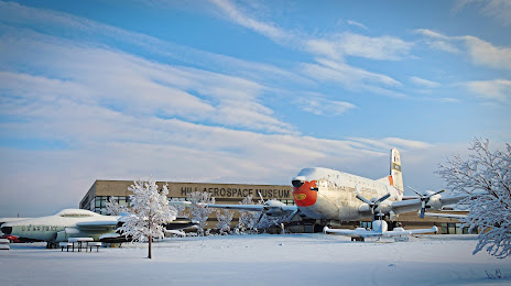
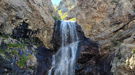
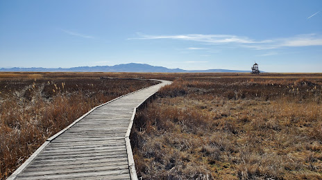
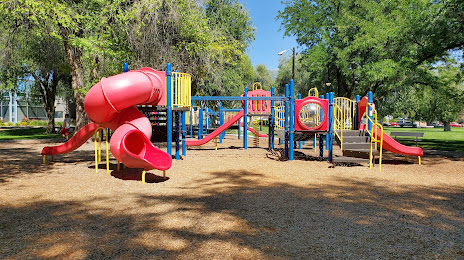
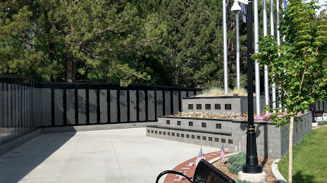
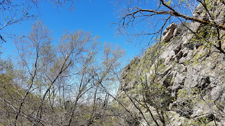
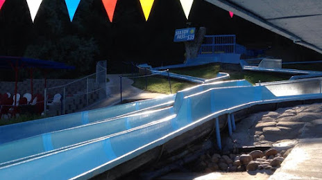
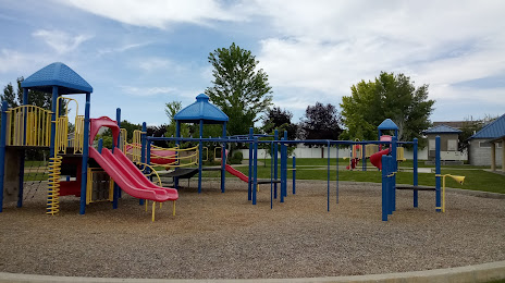
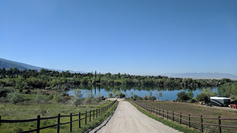
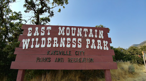
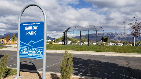
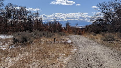
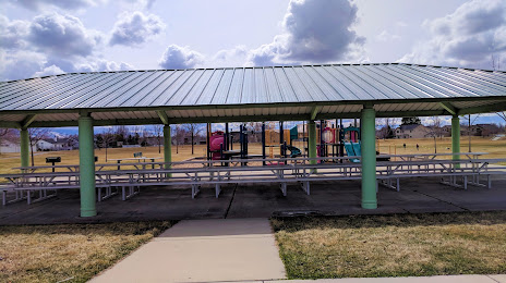
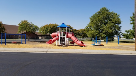
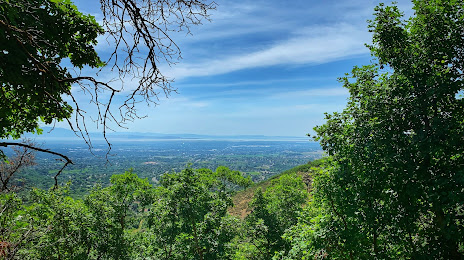
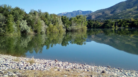
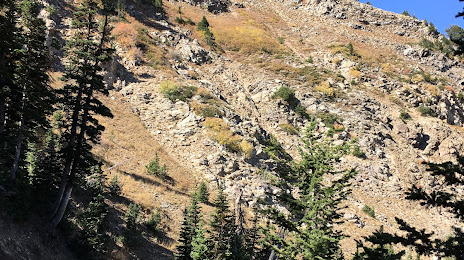
Attractions


Distance to the capital
Distance to the capital (Washington) is about — 2967 km.