Guarayos — Reco
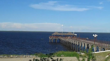
Guarayos — Santa Cruz Department
Guarayos — Quiñal
Guarayos — Llallagua
Guarayos — Mojocoya
Guarayos — Santa Cruz de la Sierra
Guarayos — Ucumari
Guarayos — San Ignacio de Velasco
Guarayos — Mataral
Guarayos — Villa Abecia
Guarayos — Belén de Andamarca
Guarayos — Camiaco
Guarayos — Kucho Ingenio
Guarayos — Omereque
Guarayos — Independencia
Guarayos — Pallalla
Guarayos — Santa Rosa
Guarayos — La Palizada
Guarayos — Russet
San Ramón
Nuflo De Chavez
Pozo del Tigre
El Tinto
Quimome
San José de Chiquitos
India Muerta
Chochis
Roboré
Tucavaca
El Carmen Rivero Torres
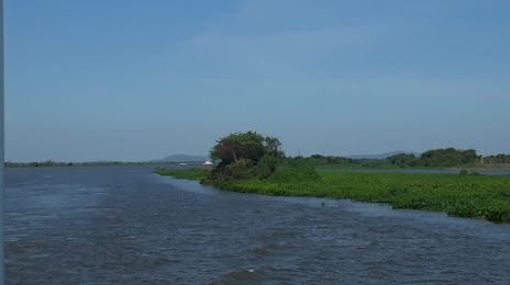
Puerto Suárez
Guarayos — Reco
Guarayos — Santa Cruz Department
Guarayos — Quiñal
Guarayos — Llallagua
Guarayos — Mojocoya
Guarayos — Santa Cruz de la Sierra
Guarayos — Ucumari
Guarayos — San Ignacio de Velasco
Guarayos — Mataral
Guarayos — Villa Abecia
Guarayos — Belén de Andamarca
Guarayos — Camiaco
Guarayos — Kucho Ingenio
Guarayos — Omereque
Guarayos — Independencia
Guarayos — Pallalla
Guarayos — Santa Rosa
Guarayos — La Palizada
Guarayos — Russet
San Ramón
Nuflo De Chavez
Pozo del Tigre
El Tinto
Quimome
San José de Chiquitos
India Muerta
Chochis
Roboré
Tucavaca
El Carmen Rivero Torres
Puerto Suárez
Guarayos — Puerto Suárez distance, route on the map
Distance by car
Distance between Guarayos, Santa Cruz Department, Bolivia and Puerto Suárez, Santa Cruz, Bolivia by car is — km, or miles. To travel this distance by car, you need minute, or h.
Route on the map, driving directions
Car route Guarayos — Puerto Suárez was created automatically. The road on the map is shown as a blue line. By moving the markers, you can create a new route through the points you need.
Passing cities through which the car route passes: Ascension, San Ramón, Nuflo De Chavez, Pozo del Tigre, El Tinto, Quimome, San José de Chiquitos, India Muerta, Chochis, Roboré, Tucavaca, El Carmen Rivero Torres, Puerto Suárez.
Distance by plane
If you decide to take a trip Guarayos Puerto Suárez by plane, then you have to fly the distance — 666 km or 413 miles. It is marked on the map with a gray line (between two points in a straight line).
Flight time
Estimated flight time Guarayos Puerto Suárez by plane at cruising speed 750 km / h will be — 53 min.
Direction of movement
Bolivia, Guarayos — right-hand traffic. Bolivia, Puerto Suárez — right-hand traffic.
Difference in time
Guarayos and Puerto Suárez are in the same time zone. Between them there is no time difference (UTC -4 America/La_Paz).
Interesting Facts
Information on alternative ways to get to your destination.
The length of this distance is about 1.7% of the total length of the equator.
The cost of travel
Calculate the cost of the trip yourself using the fuel consumption calculator, changing the data in the table.