 Cihuatlán
El Limón
Ahualulco de Mercado
Acatlán de Juárez
Chacala
Santa Ana Hueytlalpan
Tulum
Santa Rita
Petén
Calera
Cosoleacaque
Álamo Temapache
Puebla
Tula
Mezcala
Mezcala
Ciudad Frontera
Río Limón
Ciudad Río Bravo
Cihuatlán
El Limón
Ahualulco de Mercado
Acatlán de Juárez
Chacala
Santa Ana Hueytlalpan
Tulum
Santa Rita
Petén
Calera
Cosoleacaque
Álamo Temapache
Puebla
Tula
Mezcala
Mezcala
Ciudad Frontera
Río Limón
Ciudad Río Bravo
Papantla de Olarte on the map, Mexico
Where is located Papantla de Olarte
Exact location — Papantla de Olarte, Veracruz, Mexico, marked on the map with a red marker.
Coordinates
Papantla de Olarte, Mexico coordinates in decimal format: latitude — 20.4449232, longitude — -97.3256925. When converted to degrees, minutes, seconds Papantla de Olarte has the following coordinates: 20°26′41.72 north latitude and -97°19′32.49 east longitude.
Population
Papantla de Olarte, Veracruz, Mexico, according to our data the population is — 47,958 residents, which is about 0% of the total population of the country (Mexico).
Comparison of the population on the graph:
Exact time
Time zone for this location Papantla de Olarte — UTC -6 America/Mexico_City. Exact time — tuesday, 4 april 2024 year, 18 h. 18 minutes.
Sunrise and sunset
Papantla de Olarte, sunrise and sunset data for a date — tuesday 30.04.2024.
| Sunrise | Sunset | Day (duration) |
|---|---|---|
| 06:02 -0 minutes | 18:50 -0 minutes | 12 h. 48 minutes. -0 minutes |
You can control the scale of the map using the auxiliary tools to find out exactly where it is located Papantla de Olarte. When you change the scale of the map, the width of the ruler also changes (in kilometers and miles).
Nearby cities
The largest cities that are located nearby:
- Poza Rica de Hidalgo — 17 km
- Martínez de la Torre — 51 km
- Xalapa — 109 km
- Tulancingo — 115 km
- Tantoyuca — 137 km
- Pachuca — 154 km
- Córdoba — 178 km
- Orizaba — 178 km
- Puebla — 180 km
- Texcoco — 193 km
- Ojo de Agua — 197 km
- Ecatepec — 202 km
- Chimalhuacan — 204 km
- Tampico — 205 km
- Ixtapaluca — 205 km
- Coacalco — 206 km
- Ciudad Madero — 206 km
- Ciudad Nezahualcóyotl — 208 km
- Chalco de Díaz Covarrubias — 210 km
Distance to neighboring capitals:
- Belmopan
 (Belize) — 968 km
 - Guatemala City
 (Guatemala) — 969 km
 - Tegucigalpa
 (Honduras) — 1285 km
 - Washington
 (United States) — 2826 km
 - Saint John
 (Puerto Rico) — 3277 km
 - Ottawa
 (Canada) — 3411 km
 - Belgrade
 (Serbia) — 10417 km
 - Podgorica
 (Montenegro) — 10481 km
 - Hagåtña
 (Guam) — 12257 km
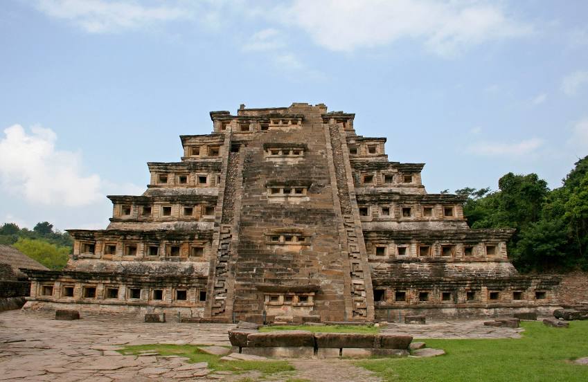
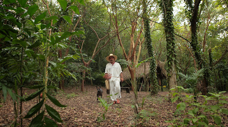
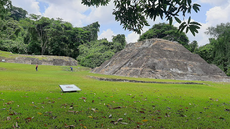
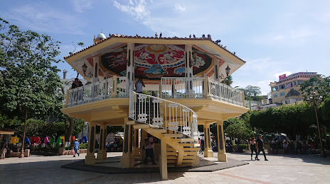
Attractions


Distance to the capital
Distance to the capital (Mexico City) is about — 220 km.