Touggourt — Ouled Yaïch
Touggourt — Ain El Kerma
Touggourt — Kadiria
Touggourt — Bir Bouhouche
Touggourt — Skikda
Touggourt — Parrish
Touggourt — Tiberguent
Touggourt — Seddouk
Touggourt — Ouled Moumen
Touggourt — Bordj Bou Arreridj
Touggourt — Mediouna
Touggourt — Zerouala
Touggourt — Taxlent
Touggourt — Djelfa
Touggourt — Aïn Ben Khelil
Touggourt — Bahla
Touggourt — El Borma
Touggourt — Hamma
Touggourt — Batna
Tebsbst
Mnagueur
Tayebat
Bin Nasser
Mih Ouensa
Oued El Alenda
El Oued Province
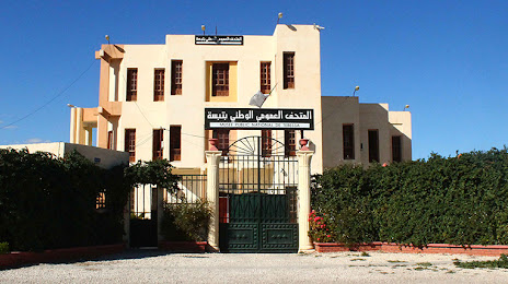
El Oued
El Oued
Hassani Abdul Karim
Empyema
Hassi Khalifa
Hassi Khelifa
Taleb Larbi
Negrine
Djebel Onk
Bir el Ater
Safsaf El Ouesra
Safsaf El Ouesra
Ali `s mother
White water
Lahouidjbet
Touggourt — Ouled Yaïch
Touggourt — Ain El Kerma
Touggourt — Kadiria
Touggourt — Bir Bouhouche
Touggourt — Skikda
Touggourt — Parrish
Touggourt — Tiberguent
Touggourt — Seddouk
Touggourt — Ouled Moumen
Touggourt — Bordj Bou Arreridj
Touggourt — Mediouna
Touggourt — Zerouala
Touggourt — Taxlent
Touggourt — Djelfa
Touggourt — Aïn Ben Khelil
Touggourt — Bahla
Touggourt — El Borma
Touggourt — Hamma
Touggourt — Batna
Tebsbst
Mnagueur
Tayebat
Bin Nasser
Mih Ouensa
Oued El Alenda
El Oued Province
El Oued
El Oued
Hassani Abdul Karim
Empyema
Hassi Khalifa
Hassi Khelifa
Taleb Larbi
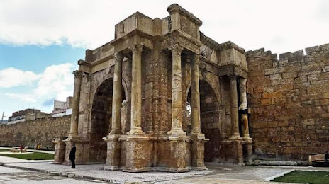
Negrine
Djebel Onk
Bir el Ater
Safsaf El Ouesra
Safsaf El Ouesra
Ali `s mother
White water
Lahouidjbet
Touggourt — Tebessa distance, route on the map
Distance by car
Distance between Touggourt, Ouargla Province, Algeria and Tebessa, Tebessa, Algeria by car is — km, or miles. To travel this distance by car, you need minute, or h.
Route on the map, driving directions
Car route Touggourt — Tebessa was created automatically. The road on the map is shown as a blue line. By moving the markers, you can create a new route through the points you need.
Passing cities through which the car route passes: Touggourt, Tebsbst, Mnagueur, Tayebat, Bin Nasser, Mih Ouensa, Oued El Alenda, El Oued Province, El Oued, El Oued, Hassani Abdul Karim, Empyema, Hassi Khalifa, Hassi Khelifa, Taleb Larbi, Negrine, Djebel Onk, Bir el Ater, Safsaf El Ouesra, Safsaf El Ouesra, Ali `s mother, White water, Lahouidjbet.
Distance by plane
If you decide to take a trip Touggourt Tebessa by plane, then you have to fly the distance — 318 km or 197 miles. It is marked on the map with a gray line (between two points in a straight line).
Flight time
Estimated flight time Touggourt Tebessa by plane at cruising speed 750 km / h will be — 25 min.
Direction of movement
Algeria, Touggourt — right-hand traffic. Algeria, Tebessa — right-hand traffic.
Difference in time
Touggourt and Tebessa are in the same time zone. Between them there is no time difference (UTC +1 Africa/Algiers).
Interesting Facts
Information on alternative ways to get to your destination.
The length of this distance is about 0.8% of the total length of the equator.
The cost of travel
Calculate the cost of the trip yourself using the fuel consumption calculator, changing the data in the table.