San Francisco Magú — Santa Ynés
San Francisco Magú — Rancho de Santiago
San Francisco Magú — Ubero
San Francisco Magú — Angostura
San Francisco Magú — Campo del Oso
San Francisco Magú — La Pesca
San Francisco Magú — Mariano Balleza
San Francisco Magú — Pueblo Nuevo
San Francisco Magú — San Andrés Sinaxtla
San Francisco Magú — Santa María del Oro
San Francisco Magú — Frontera Comalapa
San Francisco Magú — Nava
San Francisco Magú — Santa Rita
San Francisco Magú — Atlacomulco
San Francisco Magú — Ixhuatlán de Madero
San Francisco Magú — Chapala
San Francisco Magú — Iguala
San Francisco Magú — Santa María Lachixío
San Francisco Magú — Cocula
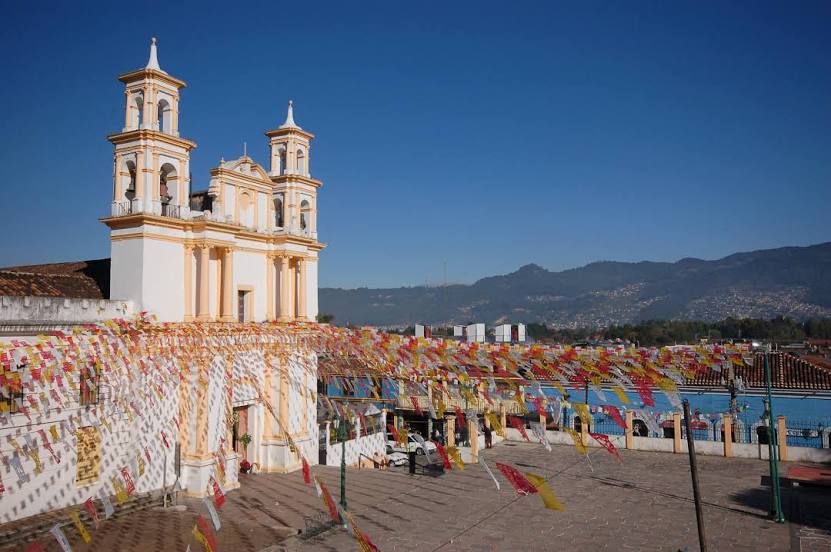
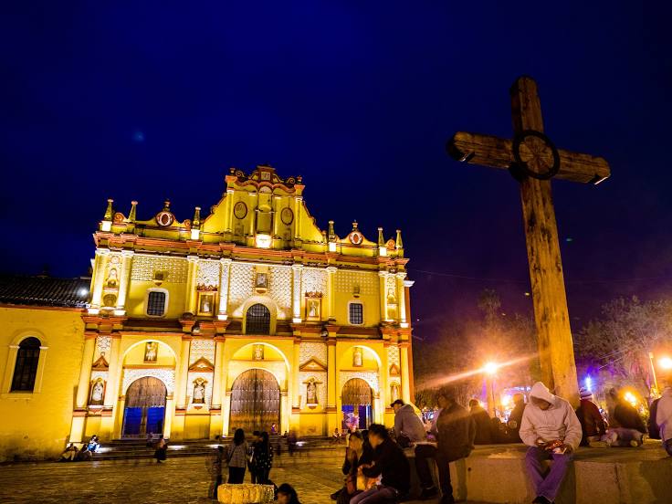
San Francisco Magú — San Cristóbal de las Casas distance, route on the map
Distance by car
Distance between San Francisco Magú, Estado de México, Mexico and San Cristóbal de las Casas, Chiapas, Mexico by car is — km, or miles. To travel this distance by car, you need minute, or h.
Route on the map, driving directions
Car route San Francisco Magú — San Cristóbal de las Casas was created automatically. The road on the map is shown as a blue line. By moving the markers, you can create a new route through the points you need.
Distance by plane
If you decide to take a trip San Francisco Magú San Cristóbal de las Casas by plane, then you have to fly the distance — 782 km or 485 miles. It is marked on the map with a gray line (between two points in a straight line).
Flight time
Estimated flight time San Francisco Magú San Cristóbal de las Casas by plane at cruising speed 750 km / h will be — 1 h. and 2 min.
Direction of movement
Mexico, San Francisco Magú — right-hand traffic. Mexico, San Cristóbal de las Casas — right-hand traffic.
Difference in time
San Francisco Magú and San Cristóbal de las Casas are in the same time zone. Between them there is no time difference (UTC -6 America/Mexico_City).
Interesting Facts
Information on alternative ways to get to your destination.
The length of this distance is about 2.0% of the total length of the equator.
The cost of travel
Calculate the cost of the trip yourself using the fuel consumption calculator, changing the data in the table.