 Saint-Agapit
Brentwood Bay
Mayne Island
Sooke
White River
Pierreville
Montmagny
Danville
Gaspé
Hanna
Nanton
Black Diamond
Saint John's
Onoway
Nanoose Bay
Beauceville
Milverton
Deseronto
Saint-Pascal
Saint-Agapit
Brentwood Bay
Mayne Island
Sooke
White River
Pierreville
Montmagny
Danville
Gaspé
Hanna
Nanton
Black Diamond
Saint John's
Onoway
Nanoose Bay
Beauceville
Milverton
Deseronto
Saint-Pascal
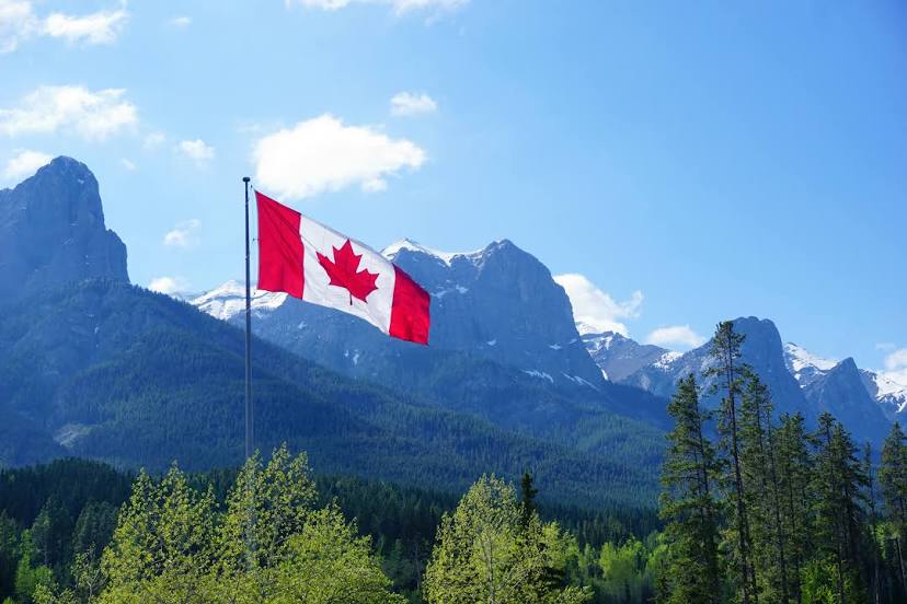
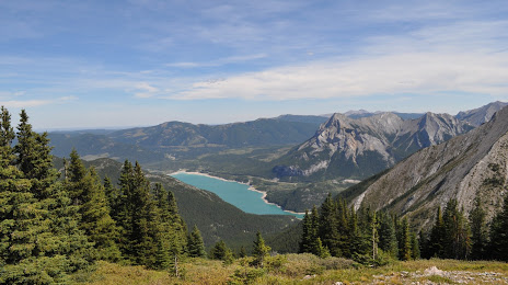
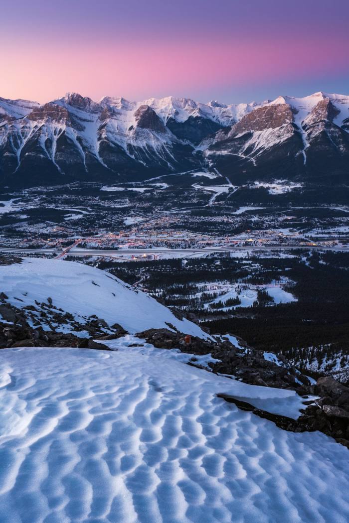
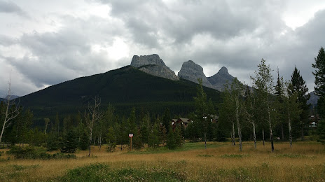
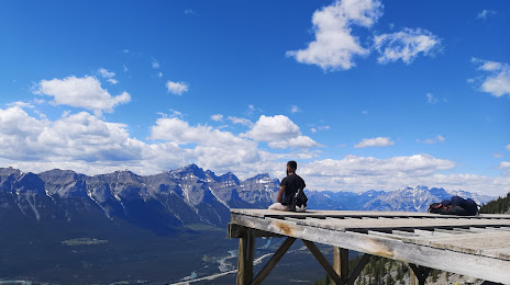
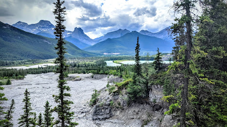
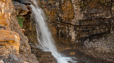
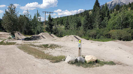
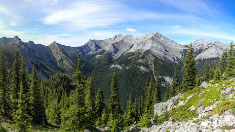
Canmore on the map, Canada
Where is located Canmore
Exact location — Canmore, Division No. 15, Alberta, Canada, marked on the map with a red marker.
Coordinates
Canmore, Canada coordinates in decimal format: latitude — 51.0747378, longitude — -115.3599592. When converted to degrees, minutes, seconds Canmore has the following coordinates: 51°4′29.06 north latitude and -115°21′35.85 east longitude.
Population
Canmore, Division No. 15, Alberta, Canada, according to our data the population is — 12,289 residents, which is about 0% of the total population of the country (Canada).
Comparison of the population on the graph:
Exact time
Time zone for this location Canmore — UTC -6 America/Edmonton. Exact time — thursday, 5 may 2024 year, 22 h. 39 minutes.
Sunrise and sunset
Canmore, sunrise and sunset data for a date — thursday 9.05.2024.
| Sunrise | Sunset | Day (duration) |
|---|---|---|
| 06:03 -1 minute | 21:12 +1 minute | 15 h. 12 minutes. +2 minutes |
You can control the scale of the map using the auxiliary tools to find out exactly where it is located Canmore. When you change the scale of the map, the width of the ruler also changes (in kilometers and miles).
Nearby cities
The largest cities that are located nearby:
- Calgary — 90 km
- Edmonton — 299 km
- Kelowna — 323 km
- Spokane
 (United States) — 408 km
 - Abbotsford — 552 km
- Coquitlam — 572 km
- Anmore — 574 km
- Surrey — 580 km
- Burnaby — 584 km
- Vancouver — 594 km
- Delta — 597 km
- Richmond — 600 km
- Saskatoon — 601 km
- Bellevue (United States) — 638 km
- Seattle (United States) — 646 km
- Victoria — 656 km
- Tacoma (United States) — 679 km
- Regina — 760 km
- Boise (United States) — 827 km
Distance to neighboring capitals:
- Washington (United States) — 3257 km
- Mexico City
 (Mexico) — 3796 km
 - Nuuk
 (Greenland) — 3863 km
 - Saint John
 (Puerto Rico) — 5623 km
 - Belgrade
 (Serbia) — 8542 km
 - Podgorica
 (Montenegro) — 8732 km
 - Hagåtña
 (Guam) — 9524 km
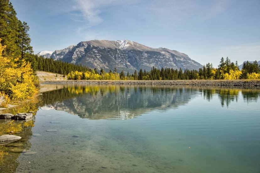
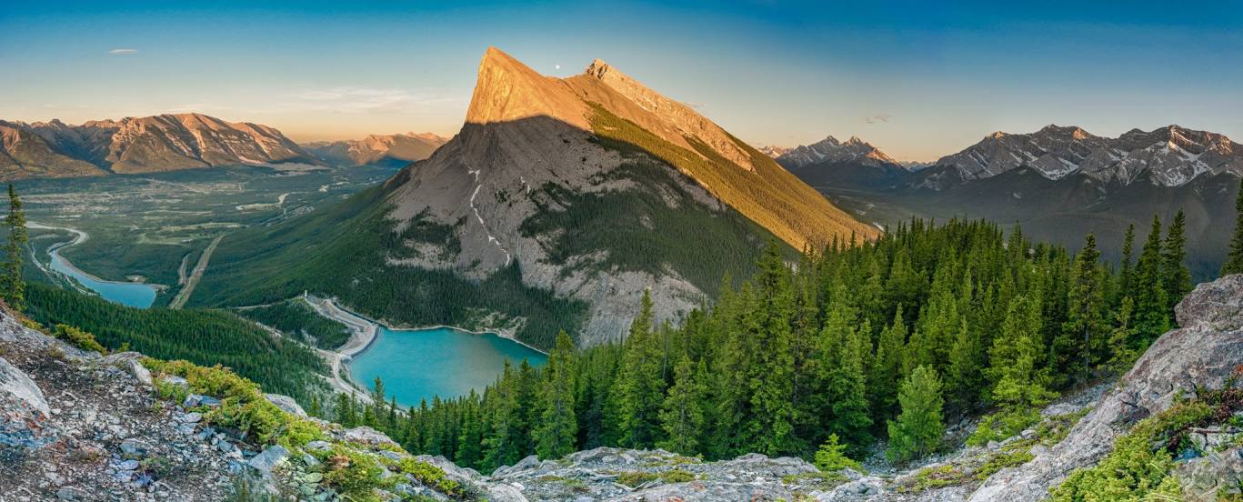
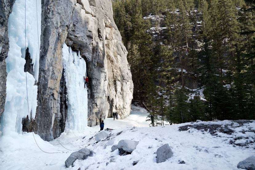
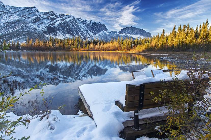
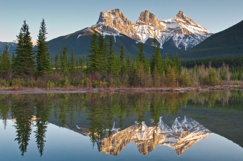
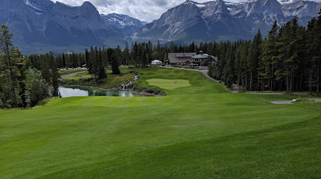
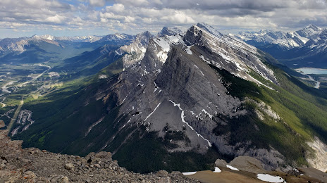
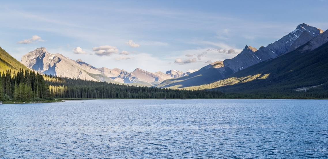
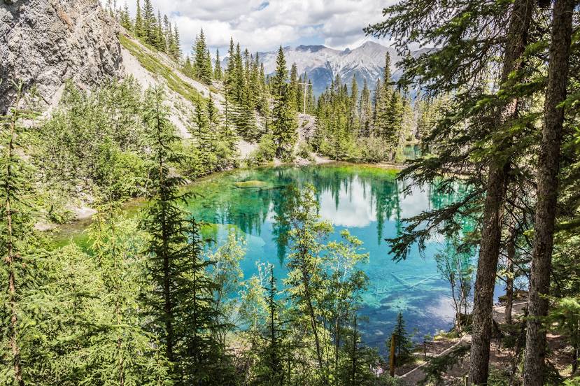
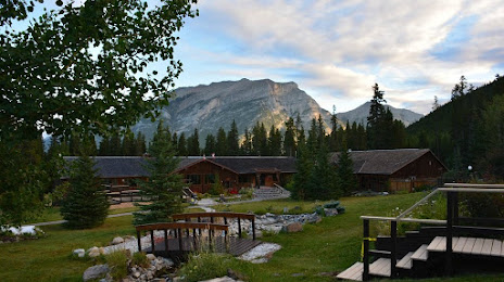
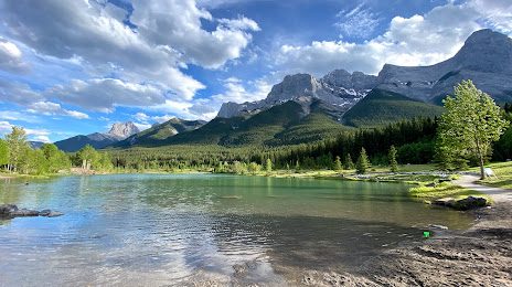
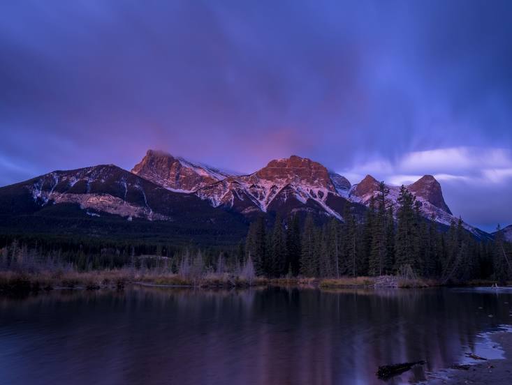
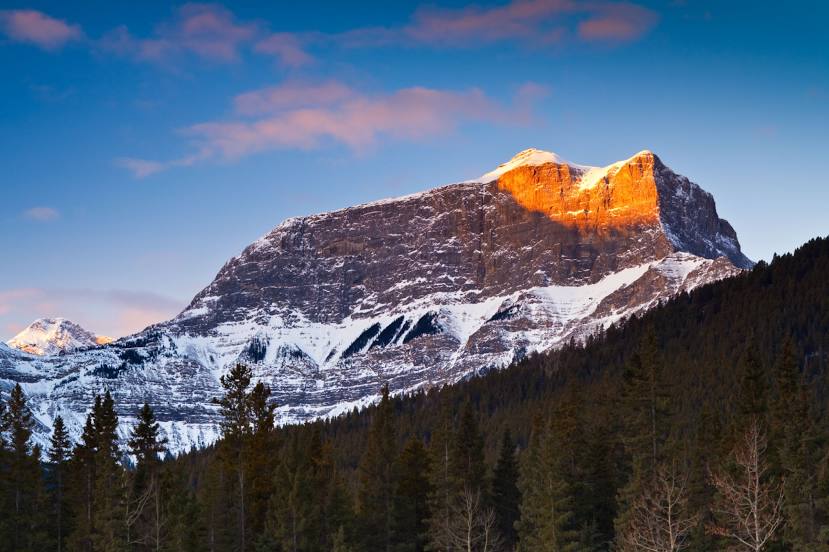
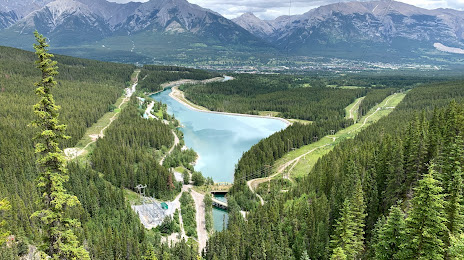
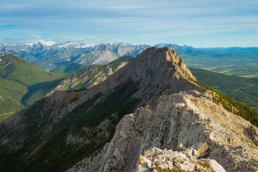
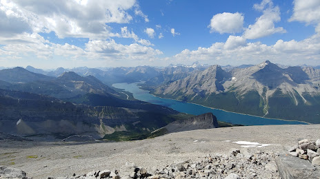
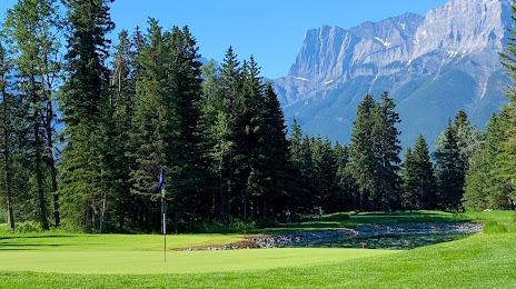
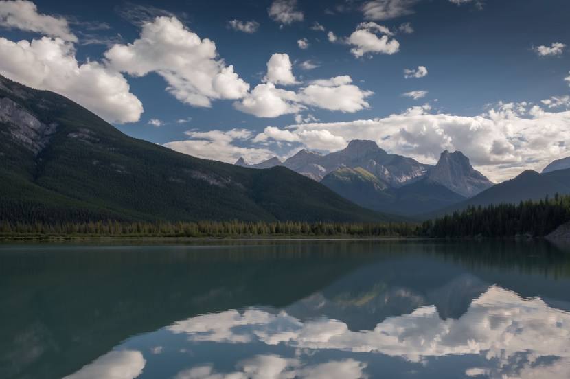
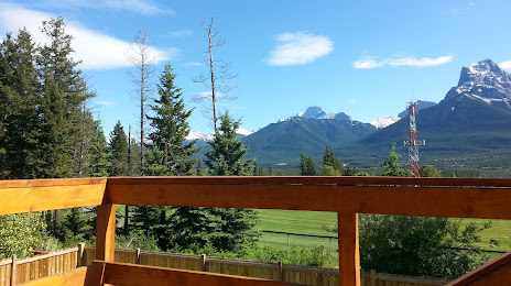
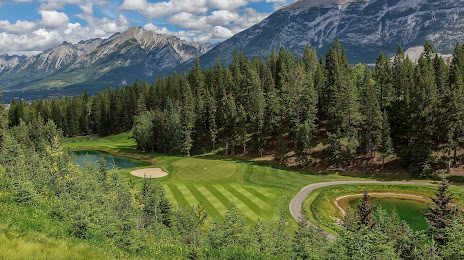
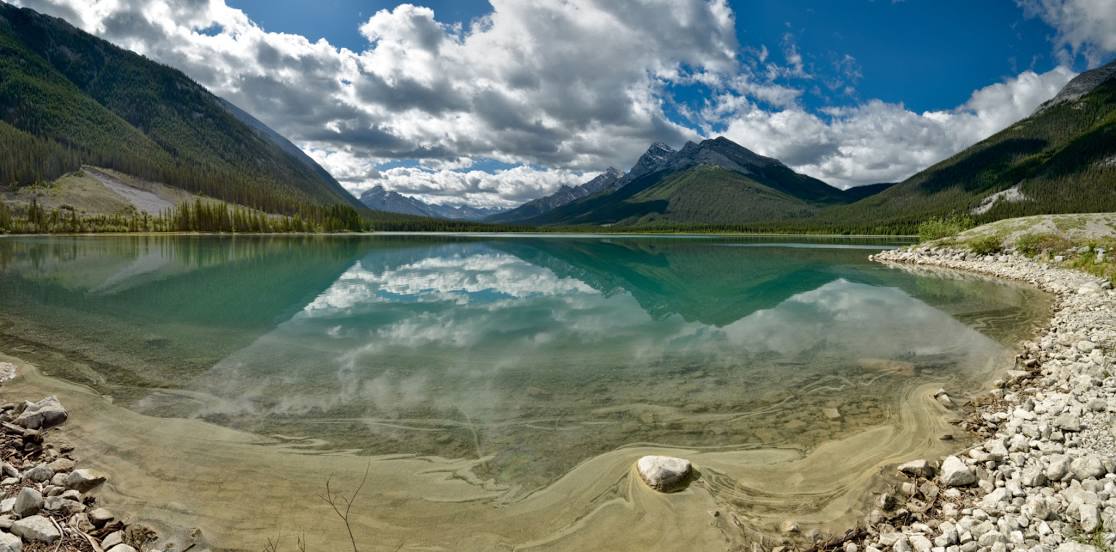
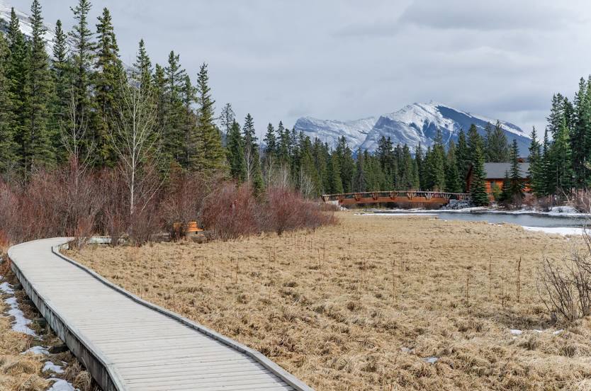
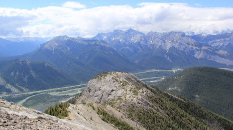
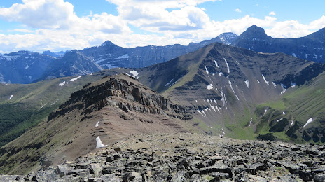
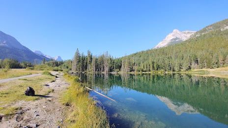
Attractions


Distance to the capital
Distance to the capital (Ottawa) is about — 2966 km.