Maracajá — Caxias do Sul
Maracajá — Seritinga
Maracajá — Bom Princípio
Maracajá — Rio Grande da Serra
Maracajá — Ibotirama
Maracajá — 35
Maracajá — São Lourenço da Serra
Maracajá — Alexânia
Maracajá — Anápolis
Maracajá — Arapongas
Maracajá — Campos Lindos
Maracajá — Santa Leopoldina
Maracajá — Tocantins
Maracajá — Paragominas
Maracajá — Mogi Guaçu
Maracajá — Rio Maria
Maracajá — Pato Branco
Maracajá — Belém
Maracajá — Conde
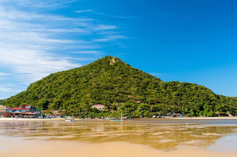
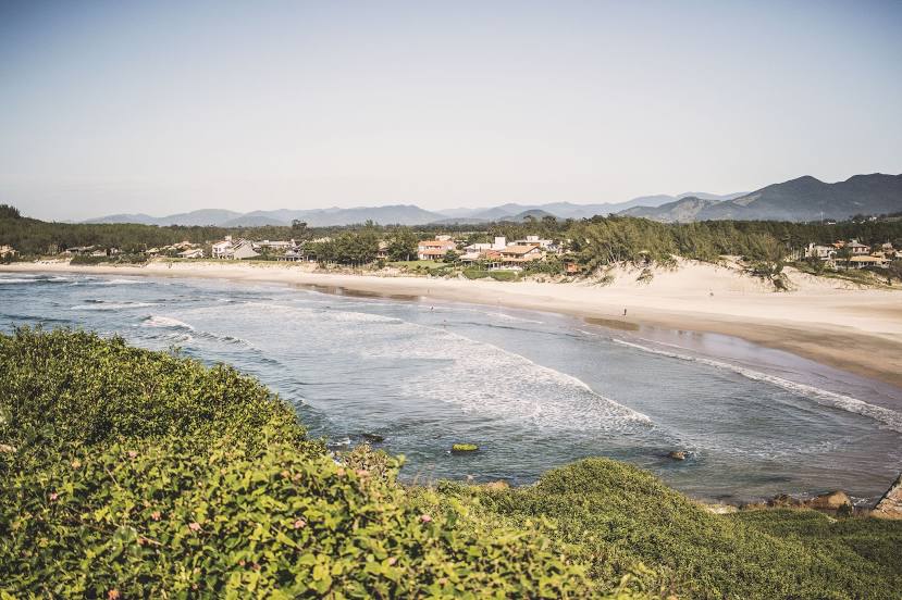
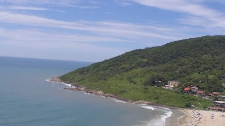
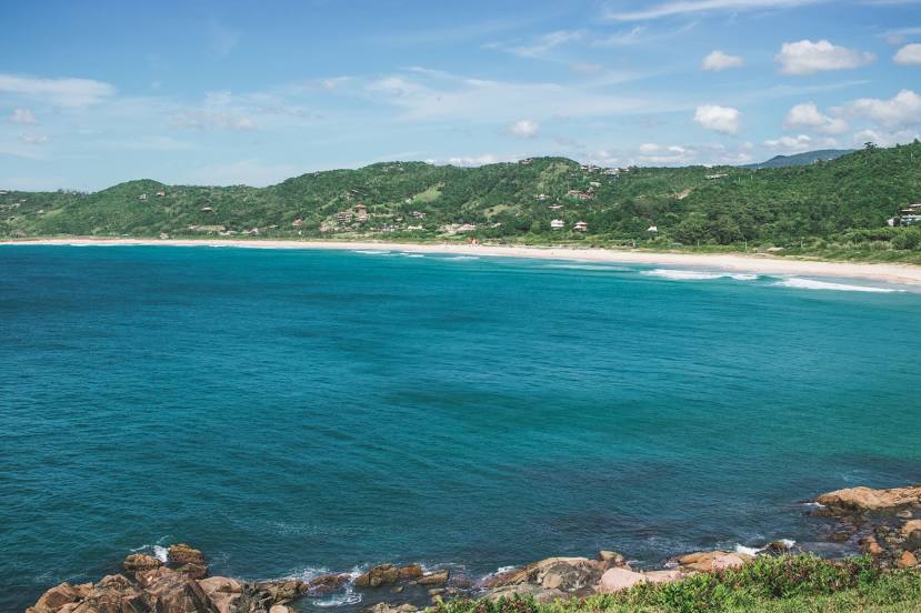
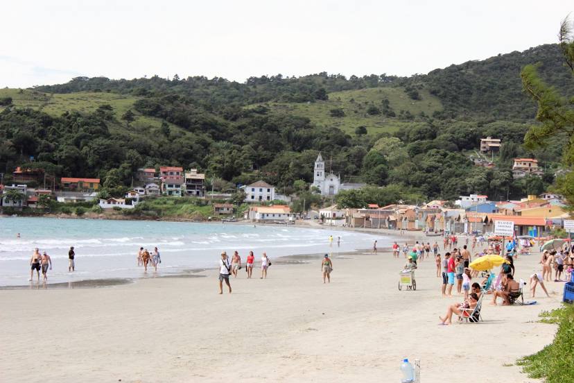
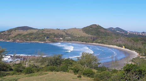
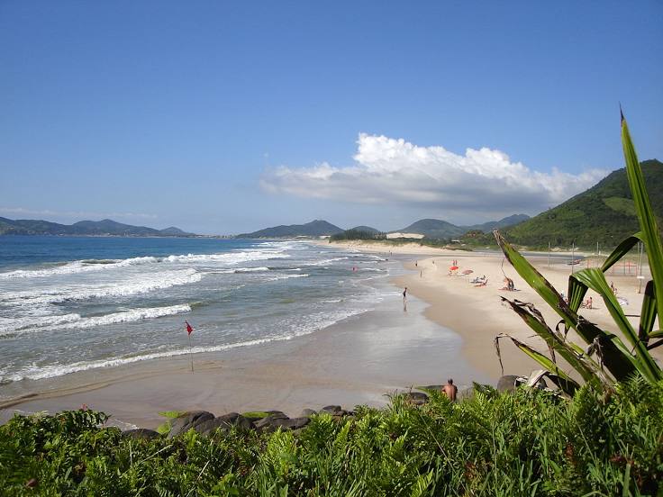
Maracajá — Garopaba distance, route on the map
Distance by car
Distance between Maracajá, State of Santa Catarina, Brazil and Garopaba, Santa Catarina, Brazil by car is — km, or miles. To travel this distance by car, you need minute, or h.
Route on the map, driving directions
Car route Maracajá — Garopaba was created automatically. The road on the map is shown as a blue line. By moving the markers, you can create a new route through the points you need.
Passing cities through which the car route passes: Içara, Morro da Fumaça, Jaguaruna, Tubarão, Tubarão, Laguna, Imbituba, Ibiraquera.
Distance by plane
If you decide to take a trip Maracajá Garopaba by plane, then you have to fly the distance — 123 km or 76 miles. It is marked on the map with a gray line (between two points in a straight line).
Flight time
Estimated flight time Maracajá Garopaba by plane at cruising speed 750 km / h will be — 9 min.
Direction of movement
Brazil, Maracajá — right-hand traffic. Brazil, Garopaba — right-hand traffic.
Difference in time
Maracajá and Garopaba are in the same time zone. Between them there is no time difference (UTC -3 America/Sao_Paulo).
Interesting Facts
Information on alternative ways to get to your destination.
The length of this distance is about 0.3% of the total length of the equator.
The cost of travel
Calculate the cost of the trip yourself using the fuel consumption calculator, changing the data in the table.