
 Rymanów
Tymbark
Szczytna
Dębowiec
Szczuczyn
Włoszakowice
Brzostek
Wietrzychowice
Borowa
Siewierz
Wyśmierzyce
Boguchwała
Szepietowo
Nowa Słupia
Malechowo
Sulmierzyce
Widuchowa
Golczewo
Rynki
Rymanów
Tymbark
Szczytna
Dębowiec
Szczuczyn
Włoszakowice
Brzostek
Wietrzychowice
Borowa
Siewierz
Wyśmierzyce
Boguchwała
Szepietowo
Nowa Słupia
Malechowo
Sulmierzyce
Widuchowa
Golczewo
Rynki
Luban on the map, Poland
Where is located Luban
Exact location — Luban, Lubań County, Lower Silesian Voivodeship, Poland, marked on the map with a red marker.
Coordinates
Luban, Poland coordinates in decimal format: latitude — 51.1179142, longitude — 15.2893895. When converted to degrees, minutes, seconds Luban has the following coordinates: 51°7′4.49 north latitude and 15°17′21.8 east longitude.
Population
Luban, Lubań County, Lower Silesian Voivodeship, Poland, according to our data the population is — 22,245 residents, which is about 0.1% of the total population of the country (Poland).
Comparison of the population on the graph:
Exact time
Time zone for this location Luban — UTC +2 Europe/Warsaw. Exact time — friday, 5 may 2024 year, 00 h. 17 minutes.
Sunrise and sunset
Luban, sunrise and sunset data for a date — friday 17.05.2024.
| Sunrise | Sunset | Day (duration) |
|---|---|---|
| 05:09 -1 minute | 20:41 +2 minutes | 15 h. 30 minutes. +3 minutes |
You can control the scale of the map using the auxiliary tools to find out exactly where it is located Luban. When you change the scale of the map, the width of the ruler also changes (in kilometers and miles).
Nearby cities
The largest cities that are located nearby:
- Legnica — 61 km
- Walbrzych — 79 km
- Zielona Gora — 92 km
- Cottbus
 (Germany) — 96 km
 - Dresden (Germany) — 108 km
- Wrocław — 121 km
- Prague
 (Czech Republic) — 130 km
 - Chemnitz (Germany) — 168 km
- Gorzów Wielkopolski — 179 km
- Poznań — 180 km
- Opole — 191 km
- Berlin (Germany) — 199 km
- Berlin (Germany) — 200 km
- Leipzig (Germany) — 203 km
- Kalisz — 204 km
- Pilsen (Czech Republic) — 205 km
- Potsdam (Germany) — 206 km
- Olomouc (Czech Republic) — 219 km
- Gera (Germany) — 225 km
Distance to neighboring capitals:
- Prague (Czech Republic) — 131 km
- Berlin (Germany) — 203 km
- Vienna
 (Austria) — 333 km
 - Bratislava
 (Slovakia) — 356 km
 - Budapest
 (Hungary) — 486 km
 - Copenhagen
 (Denmark) — 538 km
 - Amsterdam
 (Netherlands) — 729 km
 - Bern
 (Switzerland) — 736 km
 - Vilnius
 (Lithuania) — 778 km
 - Belgrade
 (Serbia) — 802 km
 - Rīga
 (Latvia) — 866 km
 - Minsk
 (Belarus) — 885 km
 - Paris
 (France) — 957 km
 - Kyiv
 (Ukraine) — 1072 km
 - Bucharest
 (Romania) — 1097 km
 - Helsinki
 (Finland) — 1173 km
 - Moscow
 (Russia) — 1559 km
 - Tbilisi
 (Georgia) — 2470 km
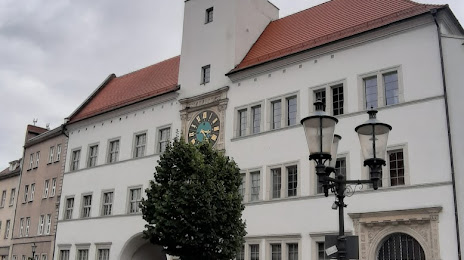
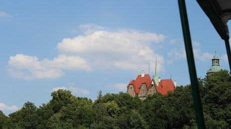
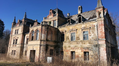
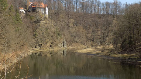
Attractions

Distance to the capital
Distance to the capital (Warsaw) is about — 414 km.