Villa de Reyes — Concordia
Villa de Reyes — Angostura
Villa de Reyes — Agua Caliente Grande
Villa de Reyes — Culiacán
Villa de Reyes — Banks
Villa de Reyes — Tres de Mayo
Villa de Reyes — Salinas Victoria
Villa de Reyes — Castaños Municipality
Villa de Reyes — Pueblo Nuevo
Villa de Reyes — Tejedores
Villa de Reyes — San Bartolo
Villa de Reyes — El Palmito
Villa de Reyes — San Juan de las Gaviotas
Villa de Reyes — Huajicori
Villa de Reyes — Feliciano
Villa de Reyes — Santa María Huatulco
Villa de Reyes — Hidalgo
Villa de Reyes — José María Pino Suárez
Villa de Reyes — Malinalco
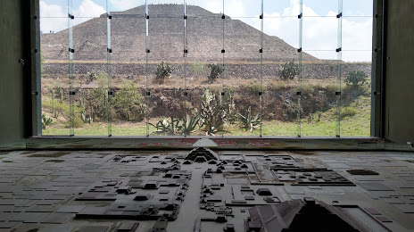
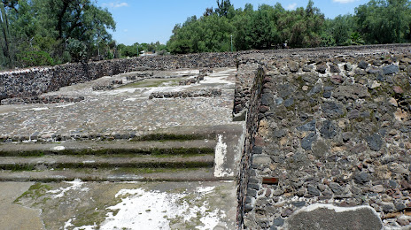
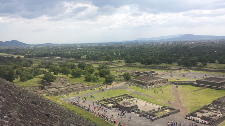
Villa de Reyes — Teotihuacán de Arista distance, route on the map
Distance by car
Distance between Villa de Reyes, San Luis Potosi, Mexico and Teotihuacán de Arista, Estado de México, Mexico by car is — km, or miles. To travel this distance by car, you need minute, or h.
Route on the map, driving directions
Car route Villa de Reyes — Teotihuacán de Arista was created automatically. The road on the map is shown as a blue line. By moving the markers, you can create a new route through the points you need.
Distance by plane
If you decide to take a trip Villa de Reyes Teotihuacán de Arista by plane, then you have to fly the distance — 319 km or 198 miles. It is marked on the map with a gray line (between two points in a straight line).
Flight time
Estimated flight time Villa de Reyes Teotihuacán de Arista by plane at cruising speed 750 km / h will be — 25 min.
Direction of movement
Mexico, Villa de Reyes — right-hand traffic. Mexico, Teotihuacán de Arista — right-hand traffic.
Difference in time
Villa de Reyes and Teotihuacán de Arista are in the same time zone. Between them there is no time difference (UTC -6 America/Mexico_City).
Interesting Facts
Information on alternative ways to get to your destination.
The length of this distance is about 0.8% of the total length of the equator.
The percentage of the population is clearly shown in the graph:
Villa de Reyes — 8,787 (less by 13,754), Teotihuacán de Arista — 22,541 residents.
The cost of travel
Calculate the cost of the trip yourself using the fuel consumption calculator, changing the data in the table.