
 Ciudad Real
Malaga airport - Costa del Sol
Torremolinos
Bolonia
Ermita
Miami Platja
Oviedo
Málaga
Palmanova
Velada
Armintza
Sant Joan de Vilatorrada
Tola
Son Bou
Cee
Tomeza
Carpio
Pesquera de Duero
Castrillo de Duero
Ciudad Real
Malaga airport - Costa del Sol
Torremolinos
Bolonia
Ermita
Miami Platja
Oviedo
Málaga
Palmanova
Velada
Armintza
Sant Joan de Vilatorrada
Tola
Son Bou
Cee
Tomeza
Carpio
Pesquera de Duero
Castrillo de Duero
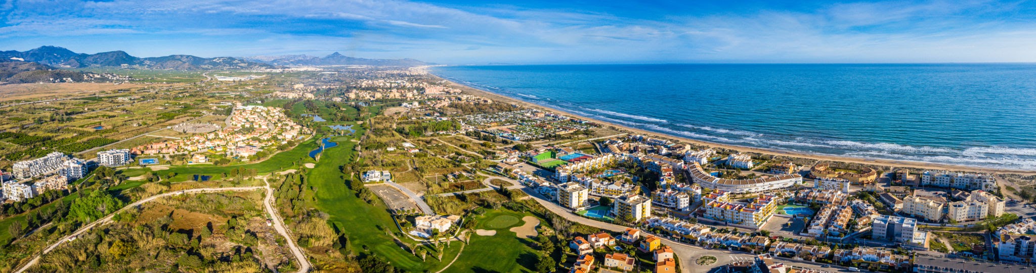
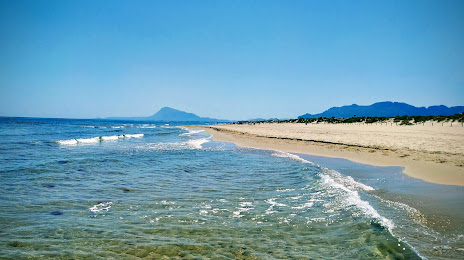
Pego on the map, Spain
Where is located Pego
Exact location — Pego, Alicante, Valencian Community, Spain, marked on the map with a red marker.
Coordinates
Pego, Spain coordinates in decimal format: latitude — 38.8429394, longitude — -0.1156439. When converted to degrees, minutes, seconds Pego has the following coordinates: 38°50′34.58 north latitude and -0°6′56.32 east longitude.
Population
Pego, Alicante, Valencian Community, Spain, according to our data the population is — 11,133 residents, which is about 0% of the total population of the country (Spain).
Comparison of the population on the graph:
Exact time
Time zone for this location Pego — UTC +2 Europe/Madrid. Exact time — wednesday, 5 may 2024 year, 13 h. 06 minutes.
Sunrise and sunset
Pego, sunrise and sunset data for a date — wednesday 15.05.2024.
| Sunrise | Sunset | Day (duration) |
|---|---|---|
| 06:50 -1 minute | 21:02 -0 minutes | 14 h. 12 minutes. +1 minute |
You can control the scale of the map using the auxiliary tools to find out exactly where it is located Pego. When you change the scale of the map, the width of the ruler also changes (in kilometers and miles).
Nearby cities
The largest cities that are located nearby:
- Valencia — 73 km
- Murcia — 129 km
- Albacete — 151 km
- Cartagena — 155 km
- Palma — 249 km
- Tarragona — 276 km
- Almería — 304 km
- Lleida — 313 km
- Zaragoza — 317 km
- Chlef
 (Algeria) — 323 km
 - Alcala de Henares — 328 km
- Torrejón de Ardoz — 334 km
- L'Hospitalet de Llobregat — 335 km
- Jaén — 342 km
- Getafe — 345 km
- Santa Coloma de Gramenet — 346 km
- Badalona — 348 km
- Terrassa — 348 km
- Relizane (Algeria) — 349 km
Distance to neighboring capitals:
- Andorra la Vella
 (Andorra) — 430 km
 - Lisbon
 (Portugal) — 782 km
 - Rabat
 (Morocco) — 810 km
 - Paris
 (France) — 1131 km
 - Paris (France) — 1131 km
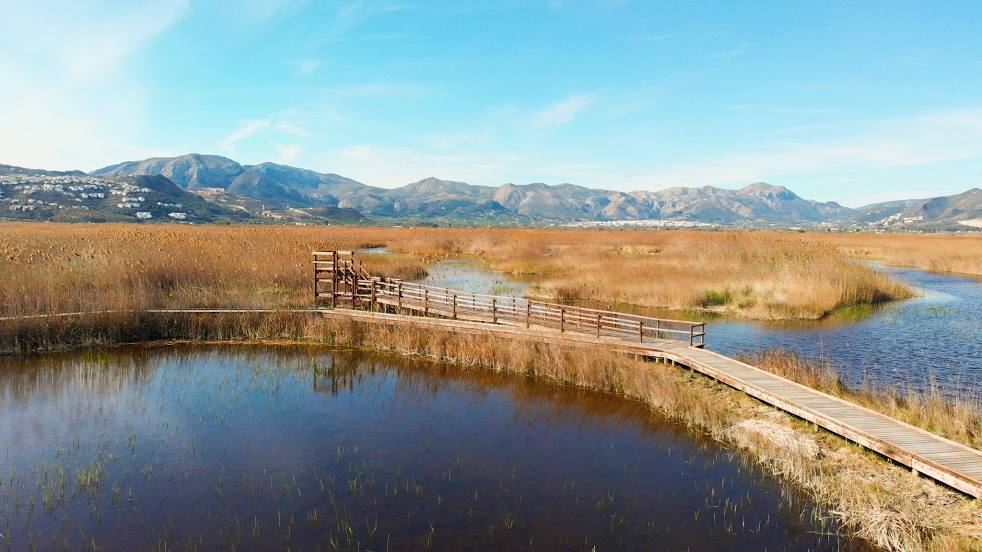
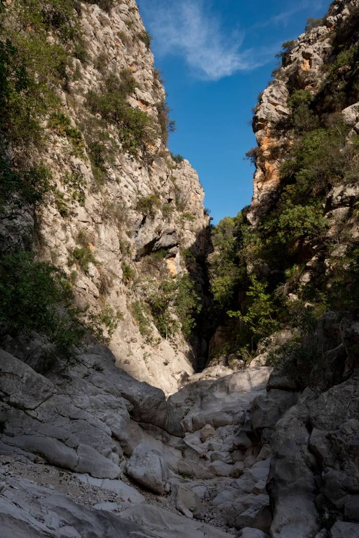
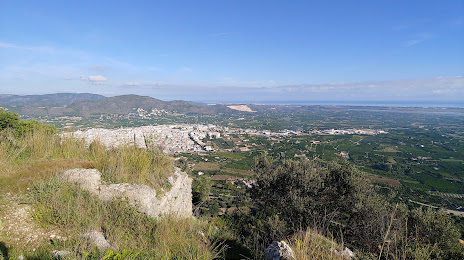
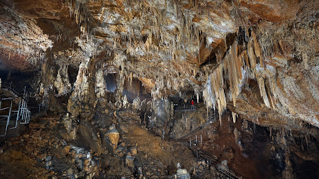
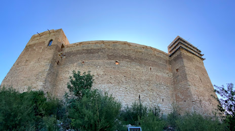
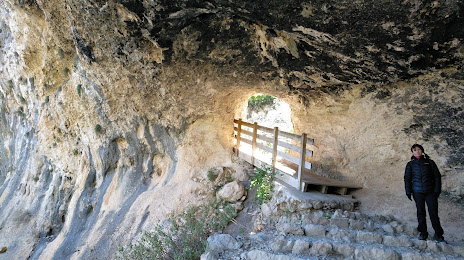
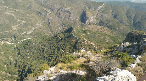
Attractions

Distance to the capital
Distance to the capital (Madrid) is about — 354 km.