
 Proba
Kazan
Uporovo
Tavda
Uvat
Lomonosov
Uren
Zheleznovodsk
Khimki
Lobachev
Puchkovo
Rybinsk
Nevinnomyssk
Spiridonovka
Filippovskiy
Makarova
Vozdvizhenka
Novoshakhtinsk
Arti
Proba
Kazan
Uporovo
Tavda
Uvat
Lomonosov
Uren
Zheleznovodsk
Khimki
Lobachev
Puchkovo
Rybinsk
Nevinnomyssk
Spiridonovka
Filippovskiy
Makarova
Vozdvizhenka
Novoshakhtinsk
Arti
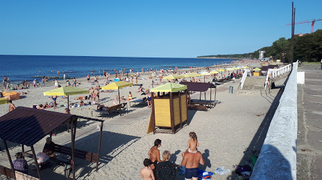
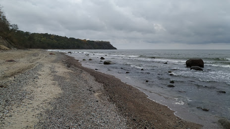
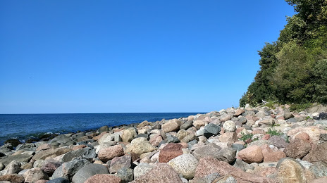
Svetlogorsk on the map, Russian Federation
Where is located Svetlogorsk
Exact location — Svetlogorsk, Svetlogorsky District, Kaliningrad Oblast, Russia, marked on the map with a red marker.
Coordinates
Svetlogorsk, Russian Federation coordinates in decimal format: latitude — 54.9394562, longitude — 20.1584705. When converted to degrees, minutes, seconds Svetlogorsk has the following coordinates: 54°56′22.04 north latitude and 20°9′30.49 east longitude.
Population
Svetlogorsk, Svetlogorsky District, Kaliningrad Oblast, Russia, according to our data the population is — 11,000 residents, which is about 0% of the total population of the country (Russian Federation).
Comparison of the population on the graph:
Exact time
Time zone for this location Svetlogorsk — UTC +2 Europe/Kaliningrad. Exact time — saturday, 5 may 2024 year, 11 h. 32 minutes.
Sunrise and sunset
Svetlogorsk, sunrise and sunset data for a date — saturday 4.05.2024.
| Sunrise | Sunset | Day (duration) |
|---|---|---|
| 04:56 -2 minutes | 20:15 +1 minute | 15 h. 18 minutes. +3 minutes |
You can control the scale of the map using the auxiliary tools to find out exactly where it is located Svetlogorsk. When you change the scale of the map, the width of the ruler also changes (in kilometers and miles).
Nearby cities
The largest cities that are located nearby:
- Kaliningrad — 34 km
- Elblag
 (Poland) — 99 km
 - Klaipėda
 (Lithuania) — 104 km
 - Gdynia (Poland) — 114 km
- Gdańsk (Poland) — 117 km
- Olsztyn (Poland) — 130 km
- Šiauliai (Lithuania) — 224 km
- Torun (Poland) — 237 km
- Kaunas (Lithuania) — 238 km
- Bydgoszcz (Poland) — 246 km
- Wloclawek (Poland) — 264 km
- Plock (Poland) — 266 km
- Koszalin (Poland) — 271 km
- Panevėžys (Lithuania) — 276 km
- Bialystok (Poland) — 282 km
- Warsaw (Poland) — 305 km
- Rīga
 (Latvia) — 326 km
 - Vilnius (Lithuania) — 329 km
- Łódź (Poland) — 355 km
Distance to neighboring capitals:
- Warsaw (Poland) — 307 km
- Vilnius (Lithuania) — 329 km
- Rīga (Latvia) — 332 km
- Minsk
 (Belarus) — 492 km
 - Stockholm
 (Sweden) — 503 km
 - Tallinn
 (Estonia) — 571 km
 - Mariehamn
 (Åland Islands) — 574 km
 - Helsinki (Finland) — 648 km
- Prague
 (Czech Republic) — 665 km
 - Oslo
 (Norway) — 788 km
 - Kyiv
 (Ukraine) — 857 km
 - Bucharest
 (Romania) — 1244 km
 - Tbilisi
 (Georgia) — 2319 km
 - Yerevan
 (Armenia) — 2434 km
 - Tehran
 (Iran) — 3202 km
 - Astana
 (Kazakhstan) — 3378 km
 - Khan-Uul
 (Mongolian) — 5671 km
 - Kathmandu
 (Nepal) — 5957 km
 - Beijing
 (China) — 6841 km
 - Pyongyang
 (North Korea) — 7419 km
 - Seoul
 (South Korea) — 7614 km
 - Hanoi
 (Vietnam) — 7839 km
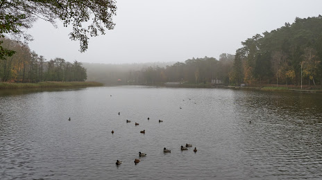
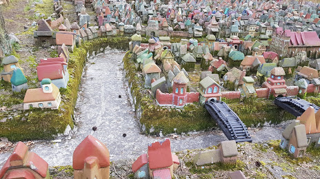
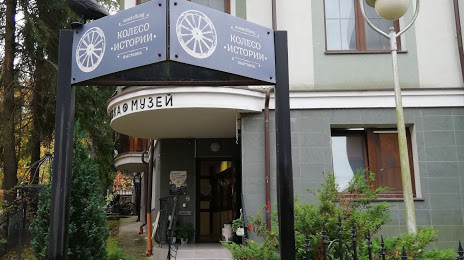
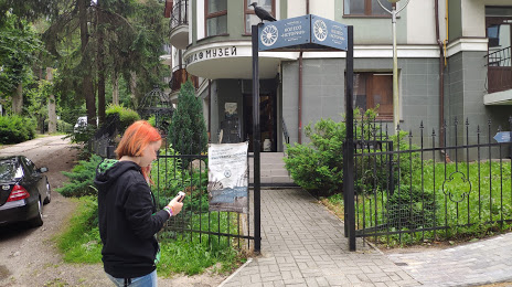
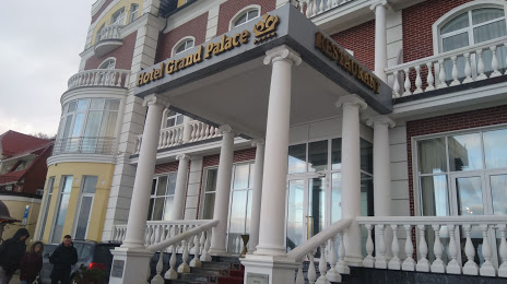
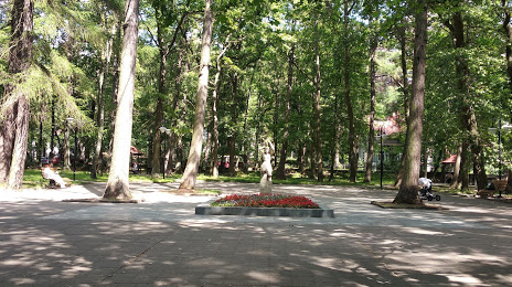
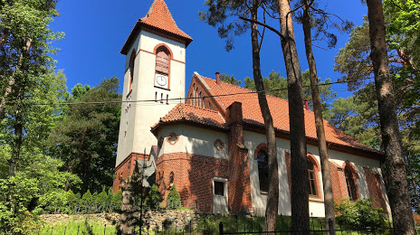
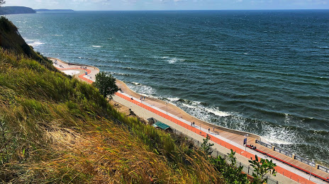
Attractions


Distance to the capital
Distance to the capital (Moscow) is about — 1105 km.