Cabrera — Saragossa
Cabrera — El Palo
Cabrera — Gualanday
Cabrera — Valencia
Cabrera — Alto Baudó
Cabrera — Santa Marta
Cabrera — Tasco
Cabrera — Clavellino
Cabrera — Planeta Rica
Cabrera — Vereda El Trique
Cabrera — Sopetrán
Cabrera — Vereda Primavera
Cabrera — El Cerrito
Cabrera — El Paujil
Cabrera — Villa Hermosa
Cabrera — Trinidad
Cabrera — Villanueva
Cabrera — Isla Gorgona
Cabrera — Rionegro
Icononzo
Nilo
Melgar
Tolemaida
Flandes
Flandes
Espinal
Guamo
Saldana
Castilla
Tamarindo
Natagaima
Aipe
Aipe
Neiva
Santa Barbara
El Juncal
Palermo
Escalereta
Campoalegre
Campoalegre
Hobo
Huila
Gigante
La Vega
Garzon
La Jagua
Tarqui
Timana-Altamira
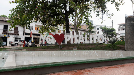
Cabrera — Pitalito distance, route on the map
Distance by car
Distance between Cabrera, Cundinamarca, Colombia and Pitalito, Huila, Colombia by car is — km, or miles. To travel this distance by car, you need minute, or h.
Route on the map, driving directions
Car route Cabrera — Pitalito was created automatically. The road on the map is shown as a blue line. By moving the markers, you can create a new route through the points you need.
Passing cities through which the car route passes: Pandi, Icononzo, Nilo, Melgar, Tolemaida, Flandes, Flandes, Espinal, Guamo, Saldana, Castilla, Tamarindo, Natagaima, Aipe, Aipe, Neiva, Santa Barbara, El Juncal, Palermo, Escalereta, Campoalegre, Campoalegre, Hobo, Huila, Gigante, La Vega, Garzon, La Jagua, Tarqui, Timana-Altamira.
Distance by plane
If you decide to take a trip Cabrera Pitalito by plane, then you have to fly the distance — 293 km or 182 miles. It is marked on the map with a gray line (between two points in a straight line).
Flight time
Estimated flight time Cabrera Pitalito by plane at cruising speed 750 km / h will be — 23 min.
Direction of movement
Colombia, Cabrera — right-hand traffic. Colombia, Pitalito — right-hand traffic.
Difference in time
Cabrera and Pitalito are in the same time zone. Between them there is no time difference (UTC -5 America/Bogota).
Interesting Facts
Information on alternative ways to get to your destination.
The length of this distance is about 0.7% of the total length of the equator.
The percentage of the population is clearly shown in the graph:
Cabrera — 1,397 (less by 52,289), Pitalito — 53,686 residents.
The cost of travel
Calculate the cost of the trip yourself using the fuel consumption calculator, changing the data in the table.