Los Cabos — Tejedores
Los Cabos — Rancho los Pinos
Los Cabos — Solidaridad
Los Cabos — Nanchital de Lázaro Cárdenas del Río
Los Cabos — Lachiguiri
Los Cabos — Pénjamo
Los Cabos — Tomochi
Los Cabos — Santa Rita
Los Cabos — Zacatelco
Los Cabos — Churintzio
Los Cabos — Santa Cruz
Los Cabos — Azoyú
Los Cabos — Del Carmen
Los Cabos — Puerto Cancún
Los Cabos — San Juanito
Los Cabos — Ixtlán del Río
Los Cabos — Tecoh Municipality
Los Cabos — Cerro de la Palma
Los Cabos — La Colorada, Mexico
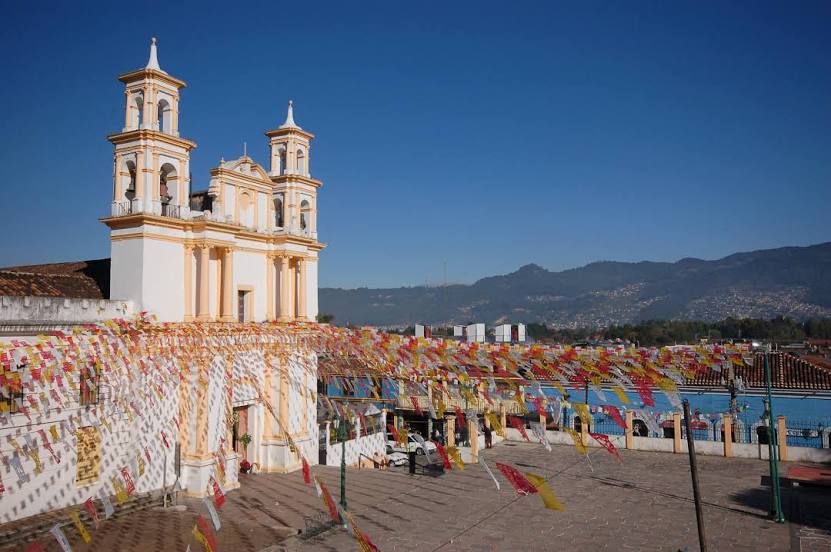
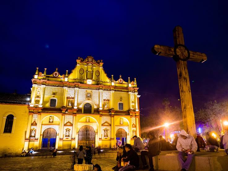
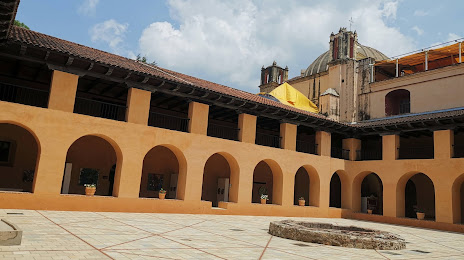
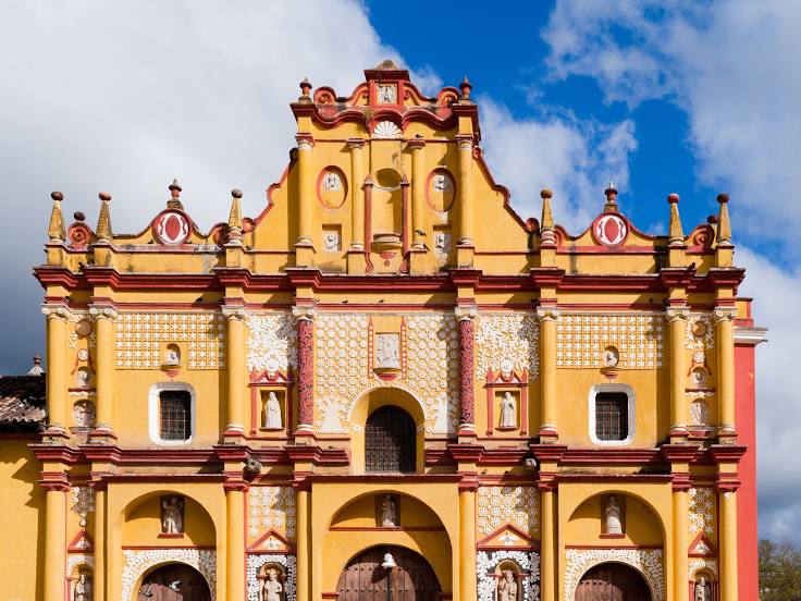
Los Cabos — San Cristóbal de las Casas distance, route on the map
Distance by car
Distance between Los Cabos, Baja California Sur, Mexico and San Cristóbal de las Casas, Chiapas, Mexico by car is — km, or miles. To travel this distance by car, you need minute, or h.
Route on the map, driving directions
Car route Los Cabos — San Cristóbal de las Casas was created automatically. The road on the map is shown as a blue line. By moving the markers, you can create a new route through the points you need.
Distance by plane
If you decide to take a trip Los Cabos San Cristóbal de las Casas by plane, then you have to fly the distance — 1918 km or 1189 miles. It is marked on the map with a gray line (between two points in a straight line).
Flight time
Estimated flight time Los Cabos San Cristóbal de las Casas by plane at cruising speed 750 km / h will be — 2 h. and 33 min.
Direction of movement
Mexico, Los Cabos — right-hand traffic. Mexico, San Cristóbal de las Casas — right-hand traffic.
Difference in time
Los Cabos and San Cristóbal de las Casas are in different time zones. The time difference is 1 hour (UTC -7 America/Mazatlan, UTC -6 America/Mexico_City).
Interesting Facts
Information on alternative ways to get to your destination.
The length of this distance is about 4.8% of the total length of the equator.
The cost of travel
Calculate the cost of the trip yourself using the fuel consumption calculator, changing the data in the table.