Mmabatho — Ventersburg
Mmabatho — South Africa
Mmabatho — Malmesbury
Mmabatho — Benoni
Mmabatho — Rand Airport
Mmabatho — Swartkop
Mmabatho — Boulders
Mmabatho — Ramalema
Mmabatho — Talsen
Mmabatho — Port Edward
Mmabatho — Welverdiend
Mmabatho — Batho-Batho
Mmabatho — Ekuvukeni A
Mmabatho — Milnerton
Mmabatho — Kruger Mpumalanga International Airport
Mmabatho — Mandalay
Mmabatho — Trompsburg
Mmabatho — Cathcart
Mmabatho — Melmoth
Setlagole
Vryburg
Pudimoe
Taung
Hartswater
Jan Kempdorp
Warrenton
Riverton
Kimberley
Kimberley Airport
Modderrivier
Hopetown
Strydenburg
Britstown
Victoria West
Three Sisters
Nelspoort
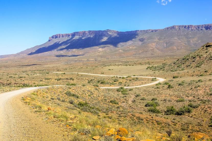
Mmabatho — Beaufort West distance, route on the map
Distance by car
Distance between Mmabatho, North West, South Africa and Beaufort West, Western Cape, South Africa by car is — km, or miles. To travel this distance by car, you need minute, or h.
Route on the map, driving directions
Car route Mmabatho — Beaufort West was created automatically. The road on the map is shown as a blue line. By moving the markers, you can create a new route through the points you need.
Passing cities through which the car route passes: Makhubung, Setlagole, Vryburg, Pudimoe, Taung, Hartswater, Jan Kempdorp, Warrenton, Riverton, Kimberley, Kimberley Airport, Modderrivier, Hopetown, Strydenburg, Britstown, Victoria West, Three Sisters, Nelspoort.
Distance by plane
If you decide to take a trip Mmabatho Beaufort West by plane, then you have to fly the distance — 781 km or 484 miles. It is marked on the map with a gray line (between two points in a straight line).
Flight time
Estimated flight time Mmabatho Beaufort West by plane at cruising speed 750 km / h will be — 1 h. and 2 min.
Direction of movement
South Africa, Mmabatho — left-hand traffic. South Africa, Beaufort West — left-hand traffic.
Difference in time
Mmabatho and Beaufort West are in the same time zone. Between them there is no time difference (UTC +2 Africa/Johannesburg).
Interesting Facts
Information on alternative ways to get to your destination.
The length of this distance is about 1.9% of the total length of the equator.
The percentage of the population is clearly shown in the graph:
Mmabatho — 76,754, Beaufort West — 44,737 residents (less by 32,017).
The cost of travel
Calculate the cost of the trip yourself using the fuel consumption calculator, changing the data in the table.