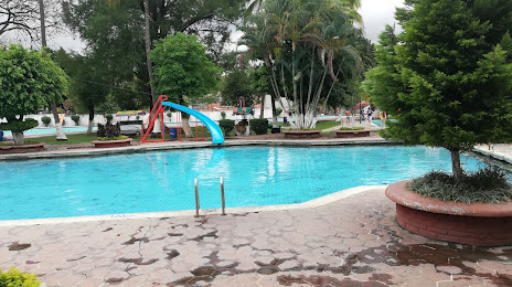
Boca del Río — Tehuantepec
Boca del Río — Parral
Boca del Río — Pedro Meoqui
Boca del Río — China
Boca del Río — Tonila
Boca del Río — Todos Santos
Boca del Río — Mexico City
Boca del Río — Santa María la Alta
Boca del Río — Maruata
Boca del Río — Pátzcuaro
Boca del Río — Santander Jiménez
Boca del Río — Asunción Ixtaltepec
Boca del Río — Independencia
Boca del Río — El Carrizal
Boca del Río — Emilio Portes Gil
Boca del Río — La Aldea
Boca del Río — Mineral del Chico
Boca del Río — Pisté
Boca del Río — Lo Arado
Heroica Veracruz
Heroica Veracruz
México
Delfino Victoria
San Julián
José Cardel
Palma Sola
Vega de Alatorre
San Rafael
La Poza
Puntilla Aldama
El Tajín National Airport
La Isla
Tihuatlán
Álamo Temapache
Rodriguez Clara
Llano Enmedio
Chicontepec
Yahualica
Atlapexco
Boca del Río — Huejutla de Reyes distance, route on the map
Distance by car
Distance between Boca del Río, Veracruz, Mexico and Huejutla de Reyes, Hidalgo, Mexico by car is — km, or miles. To travel this distance by car, you need minute, or h.
Route on the map, driving directions
Car route Boca del Río — Huejutla de Reyes was created automatically. The road on the map is shown as a blue line. By moving the markers, you can create a new route through the points you need.
Passing cities through which the car route passes: Costa Verde, Heroica Veracruz, Heroica Veracruz, México, Delfino Victoria, San Julián, José Cardel, Palma Sola, Vega de Alatorre, San Rafael, La Poza, Puntilla Aldama, El Tajín National Airport, La Isla, Tihuatlán, Álamo Temapache, Rodriguez Clara, Llano Enmedio, Chicontepec, Yahualica, Atlapexco.
Distance by plane
If you decide to take a trip Boca del Río Huejutla de Reyes by plane, then you have to fly the distance — 330 km or 205 miles. It is marked on the map with a gray line (between two points in a straight line).
Flight time
Estimated flight time Boca del Río Huejutla de Reyes by plane at cruising speed 750 km / h will be — 26 min.
Direction of movement
Mexico, Boca del Río — right-hand traffic. Mexico, Huejutla de Reyes — right-hand traffic.
Difference in time
Boca del Río and Huejutla de Reyes are in the same time zone. Between them there is no time difference (UTC -6 America/Mexico_City).
Interesting Facts
Information on alternative ways to get to your destination.
The length of this distance is about 0.8% of the total length of the equator.
The percentage of the population is clearly shown in the graph:
Boca del Río — 11,099 (less by 28,916), Huejutla de Reyes — 40,015 residents.
The cost of travel
Calculate the cost of the trip yourself using the fuel consumption calculator, changing the data in the table.