
 Murillo de Río Leza
Castellanos de Moriscos
Morcillo
Aduna
Güimar
San Bartolomé
Pozuelo
Valentín
Caravaca de la Cruz
Arona
El Tablero
Betanzos
Solsona
Naves
Aiguaviva
Guía de Isora
Àger
Pueyo
Caravia
Murillo de Río Leza
Castellanos de Moriscos
Morcillo
Aduna
Güimar
San Bartolomé
Pozuelo
Valentín
Caravaca de la Cruz
Arona
El Tablero
Betanzos
Solsona
Naves
Aiguaviva
Guía de Isora
Àger
Pueyo
Caravia
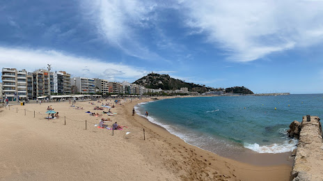
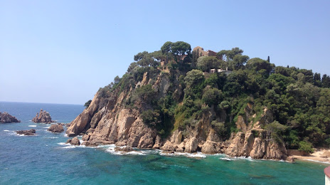
Blanes on the map, Spain
Where is located Blanes
Exact location — Blanes, Girona, Catalunya, Spain, marked on the map with a red marker.
Coordinates
Blanes, Spain coordinates in decimal format: latitude — 41.6759954, longitude — 2.7902289. When converted to degrees, minutes, seconds Blanes has the following coordinates: 41°40′33.58 north latitude and 2°47′24.82 east longitude.
Population
Blanes, Girona, Catalunya, Spain, according to our data the population is — 34,894 residents, which is about 0.1% of the total population of the country (Spain).
Comparison of the population on the graph:
Exact time
Time zone for this location Blanes — UTC +2 Europe/Madrid. Exact time — monday, 5 may 2024 year, 12 h. 05 minutes.
Sunrise and sunset
Blanes, sunrise and sunset data for a date — monday 13.05.2024.
| Sunrise | Sunset | Day (duration) |
|---|---|---|
| 06:34 -1 minute | 20:56 +1 minute | 14 h. 24 minutes. +2 minutes |
You can control the scale of the map using the auxiliary tools to find out exactly where it is located Blanes. When you change the scale of the map, the width of the ruler also changes (in kilometers and miles).
Nearby cities
The largest cities that are located nearby:
- Mataró — 32 km
- Badalona — 52 km
- Santa Coloma de Gramenet — 54 km
- Sabadell — 58 km
- L'Hospitalet de Llobregat — 66 km
- Terrassa — 66 km
- Perpignan
 (France) — 112 km
 - Tarragona — 143 km
- Lleida — 180 km
- Montpellier (France) — 231 km
- Palma — 233 km
- Toulouse (France) — 239 km
- Nimes (France) — 270 km
- Marseille (France) — 274 km
- Aix-en-Provence (France) — 296 km
- Toulon (France) — 300 km
- Zaragoza — 304 km
- Valencia — 364 km
- Pamplona — 381 km
Distance to neighboring capitals:
- Andorra la Vella
 (Andorra) — 140 km
 - Paris (France) — 799 km
- Paris (France) — 799 km
- Lisbon
 (Portugal) — 1064 km
 - Rabat
 (Morocco) — 1203 km
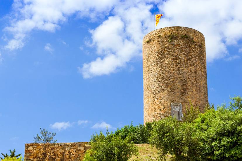
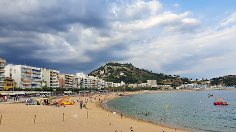
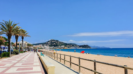
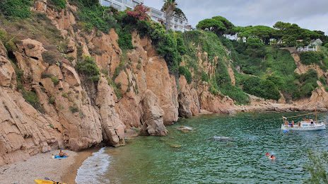
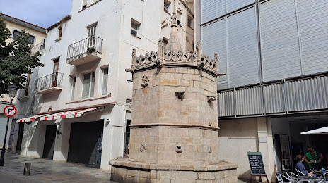
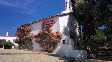
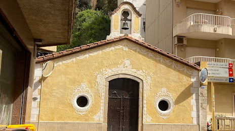
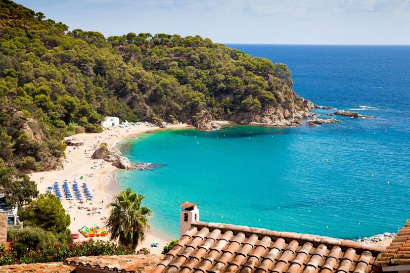
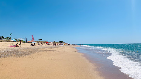
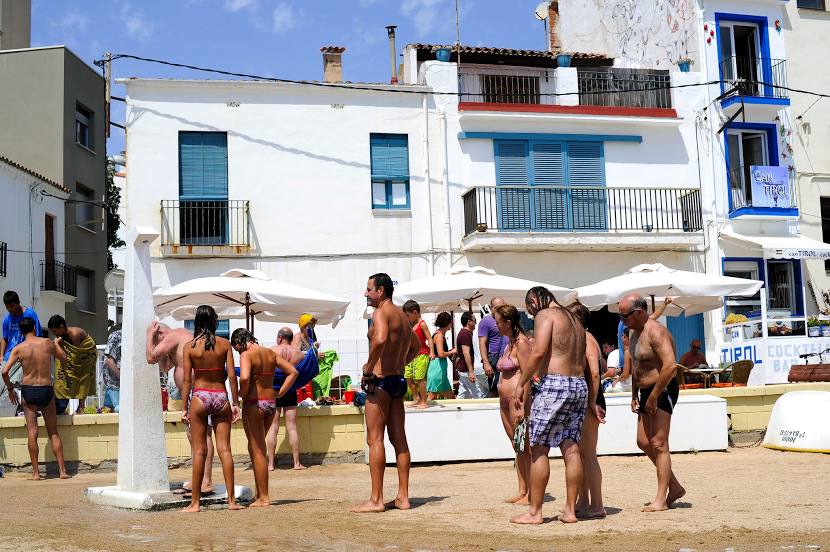
Attractions


Distance to the capital
Distance to the capital (Madrid) is about — 562 km.