
 Moguer
Blanes
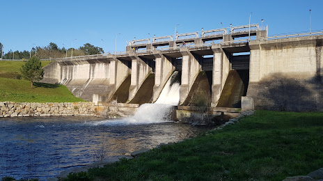
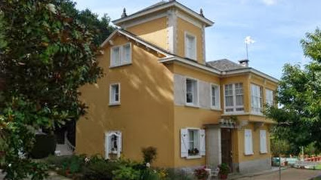
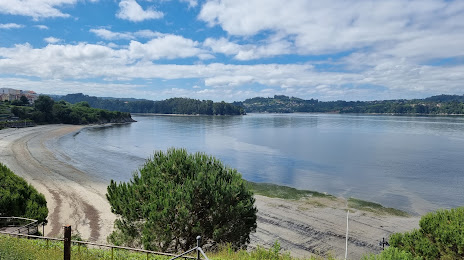
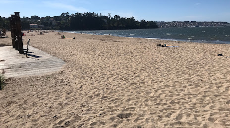
Cambre
Cuarte de Huerva
Moratalla
Pinto
Albatera
Mula
Silla
Flores de Ávila
Cuesta
Cala
Balboa
Benejúzar
Cintruénigo
Igollo
La Selva
Noblejas
Retamar
Moguer
Blanes
Cambre
Cuarte de Huerva
Moratalla
Pinto
Albatera
Mula
Silla
Flores de Ávila
Cuesta
Cala
Balboa
Benejúzar
Cintruénigo
Igollo
La Selva
Noblejas
Retamar
Betanzos on the map, Spain
Where is located Betanzos
Exact location — Betanzos, A Coruña, Galicia, Spain, marked on the map with a red marker.
Coordinates
Betanzos, Spain coordinates in decimal format: latitude — 43.2784298, longitude — -8.2131234. When converted to degrees, minutes, seconds Betanzos has the following coordinates: 43°16′42.35 north latitude and -8°12′47.24 east longitude.
Population
Betanzos, A Coruña, Galicia, Spain, according to our data the population is — 12,629 residents, which is about 0% of the total population of the country (Spain).
Comparison of the population on the graph:
Exact time
Time zone for this location Betanzos — UTC +2 Europe/Madrid. Exact time — saturday, 5 may 2024 year, 20 h. 29 minutes.
Sunrise and sunset
Betanzos, sunrise and sunset data for a date — saturday 11.05.2024.
| Sunrise | Sunset | Day (duration) |
|---|---|---|
| 07:15 -2 minutes | 21:42 +1 minute | 14 h. 30 minutes. +3 minutes |
You can control the scale of the map using the auxiliary tools to find out exactly where it is located Betanzos. When you change the scale of the map, the width of the ruler also changes (in kilometers and miles).
Nearby cities
The largest cities that are located nearby:
- A Coruña — 18 km
- Ourense — 108 km
- Vigo — 122 km
- Oviedo — 190 km
- Braga
 (Portugal) — 192 km
 - Gijón — 206 km
- León — 228 km
- Porto (Portugal) — 237 km
- Salamanca — 332 km
- Valladolid — 340 km
- Coimbra (Portugal) — 340 km
- Santander — 354 km
- Burgos — 383 km
- Bilbao — 425 km
- Vitoria-Gasteiz — 451 km
- Logroño — 479 km
- Alcobendas — 490 km
- Móstoles — 491 km
- Alcorcón — 492 km
Distance to neighboring capitals:
- Lisbon (Portugal) — 513 km
- Andorra la Vella
 (Andorra) — 797 km
 - Paris
 (France) — 1023 km
 - Paris (France) — 1023 km
- Rabat
 (Morocco) — 1042 km
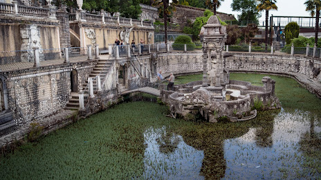
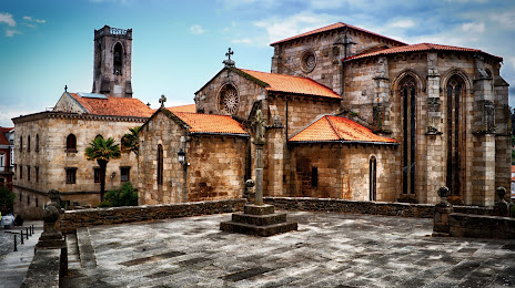
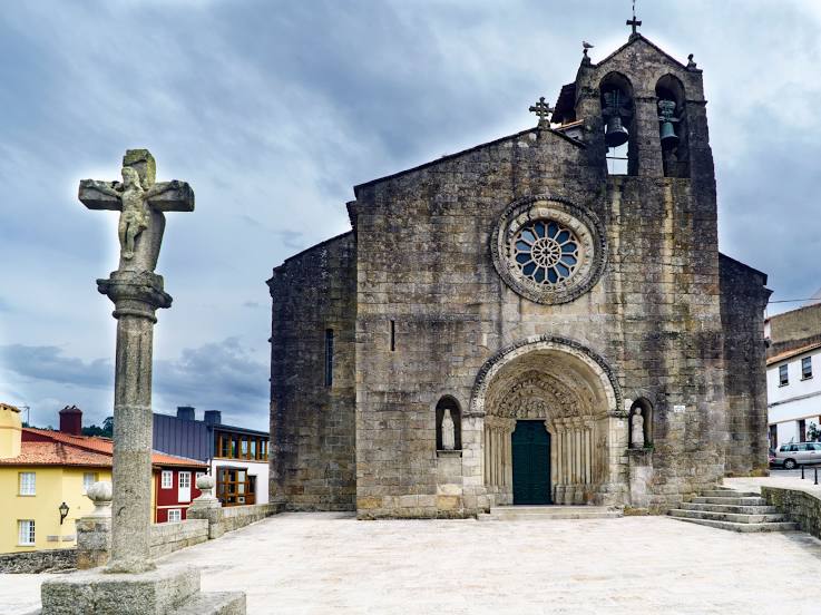
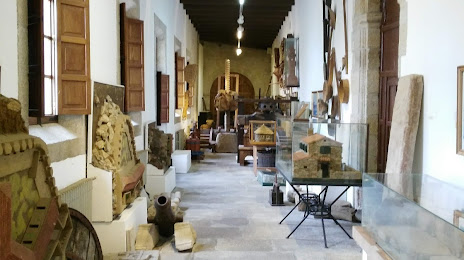
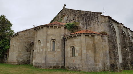
Attractions

Distance to the capital
Distance to the capital (Madrid) is about — 491 km.