
 Valentín
Caravaca de la Cruz
Telde
Gesaltza Añana
Aoiz
Viveros
Cunit
Pino del Río
Gamonal
Mora
Lloreda
Torrefarrera
Zamora
San Roque
Castriḷḷón
Pedrosa de Duero
Arona
El Tablero
Betanzos
Valentín
Caravaca de la Cruz
Telde
Gesaltza Añana
Aoiz
Viveros
Cunit
Pino del Río
Gamonal
Mora
Lloreda
Torrefarrera
Zamora
San Roque
Castriḷḷón
Pedrosa de Duero
Arona
El Tablero
Betanzos
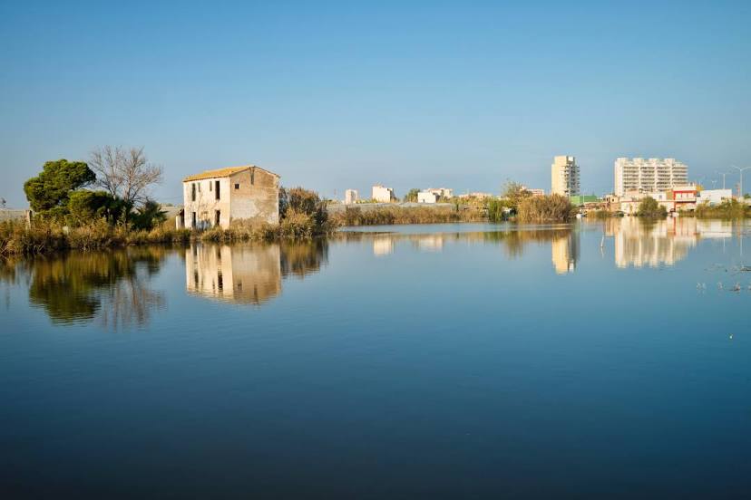
Silla on the map, Spain
Where is located Silla
Exact location — Silla, Valencia, Valencian Community, Spain, marked on the map with a red marker.
Coordinates
Silla, Spain coordinates in decimal format: latitude — 39.3625923, longitude — -0.4120147. When converted to degrees, minutes, seconds Silla has the following coordinates: 39°21′45.33 north latitude and -0°24′43.25 east longitude.
Population
Silla, Valencia, Valencian Community, Spain, according to our data the population is — 17,303 residents, which is about 0% of the total population of the country (Spain).
Comparison of the population on the graph:
Exact time
Time zone for this location Silla — UTC +2 Europe/Madrid. Exact time — wednesday, 5 may 2024 year, 14 h. 17 minutes.
Sunrise and sunset
Silla, sunrise and sunset data for a date — wednesday 15.05.2024.
| Sunrise | Sunset | Day (duration) |
|---|---|---|
| 06:50 -1 minute | 21:05 +1 minute | 14 h. 18 minutes. +2 minutes |
You can control the scale of the map using the auxiliary tools to find out exactly where it is located Silla. When you change the scale of the map, the width of the ruler also changes (in kilometers and miles).
Nearby cities
The largest cities that are located nearby:
- Valencia — 12 km
- Albacete — 131 km
- Murcia — 164 km
- Cartagena — 199 km
- Tarragona — 238 km
- Zaragoza — 256 km
- Palma — 262 km
- Lleida — 264 km
- Alcala de Henares — 277 km
- Torrejón de Ardoz — 285 km
- Getafe — 299 km
- Alcobendas — 301 km
- Leganés — 303 km
- Fuenlabrada — 304 km
- L'Hospitalet de Llobregat — 305 km
- Alcorcón — 308 km
- Móstoles — 310 km
- Terrassa — 315 km
- Santa Coloma de Gramenet — 317 km
Distance to neighboring capitals:
- Andorra la Vella
 (Andorra) — 386 km
 - Lisbon
 (Portugal) — 757 km
 - Rabat
 (Morocco) — 830 km
 - Paris
 (France) — 1079 km
 - Paris (France) — 1079 km
Attractions


Distance to the capital
Distance to the capital (Madrid) is about — 304 km.