
 Albatera
Mula
Silla
Loeches
Pareja
Gata de Gorgos
Puente Genil
Murillo de Río Leza
Castellanos de Moriscos
Àger
Pueyo
Caravia
Corral de Almaguer
Esplús
Oria
Flores de Ávila
Cuesta
Cala
Balboa
Albatera
Mula
Silla
Loeches
Pareja
Gata de Gorgos
Puente Genil
Murillo de Río Leza
Castellanos de Moriscos
Àger
Pueyo
Caravia
Corral de Almaguer
Esplús
Oria
Flores de Ávila
Cuesta
Cala
Balboa
Zamora on the map, Spain
Where is located Zamora
Exact location — Zamora, Zamora, Castilla y León, Spain, marked on the map with a red marker.
Coordinates
Zamora, Spain coordinates in decimal format: latitude — 41.5034712, longitude — -5.7467879. When converted to degrees, minutes, seconds Zamora has the following coordinates: 41°30′12.5 north latitude and -5°44′48.44 east longitude.
Population
Zamora, Zamora, Castilla y León, Spain, according to our data the population is — 63,160 residents, which is about 0.1% of the total population of the country (Spain).
Comparison of the population on the graph:
Exact time
Time zone for this location Zamora — UTC +2 Europe/Madrid. Exact time — saturday, 5 may 2024 year, 19 h. 40 minutes.
Sunrise and sunset
Zamora, sunrise and sunset data for a date — saturday 4.05.2024.
| Sunrise | Sunset | Day (duration) |
|---|---|---|
| 07:18 -1 minute | 21:20 +1 minute | 14 h. 0 minutes. +2 minutes |
You can control the scale of the map using the auxiliary tools to find out exactly where it is located Zamora. When you change the scale of the map, the width of the ruler also changes (in kilometers and miles).
Nearby cities
The largest cities that are located nearby:
- Salamanca — 59 km
- Valladolid — 86 km
- León — 122 km
- Burgos — 192 km
- Ourense — 196 km
- Móstoles — 205 km
- Oviedo — 206 km
- Alcorcón — 206 km
- Alcobendas — 207 km
- Leganés — 211 km
- Fuenlabrada — 212 km
- Getafe — 215 km
- Braga
 (Portugal) — 222 km
 - Torrejón de Ardoz — 223 km
- Gijón — 224 km
- Alcala de Henares — 230 km
- Porto (Portugal) — 243 km
- Vigo — 257 km
- Santander — 267 km
Distance to neighboring capitals:
- Lisbon (Portugal) — 423 km
- Andorra la Vella
 (Andorra) — 611 km
 - Rabat
 (Morocco) — 843 km
 - Paris
 (France) — 1034 km
 - Paris (France) — 1034 km
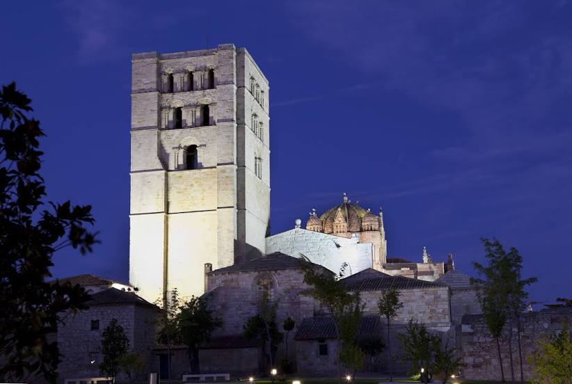
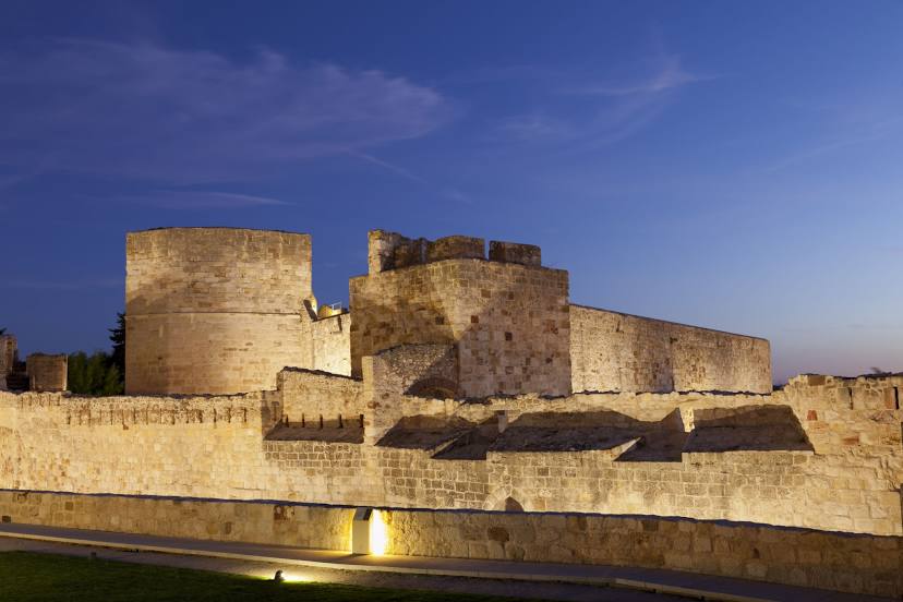
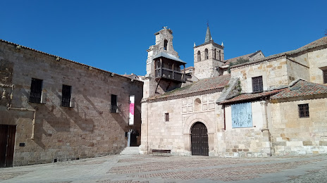
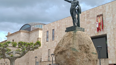
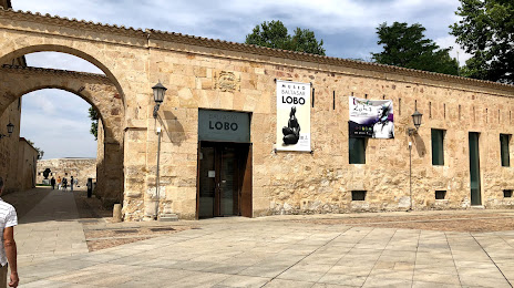
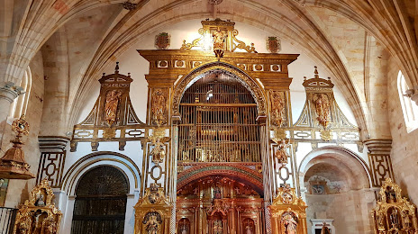
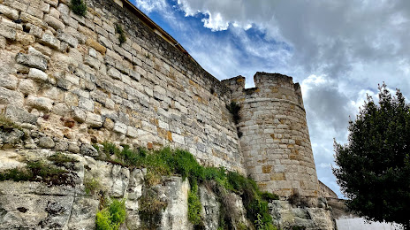
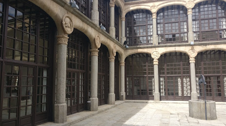
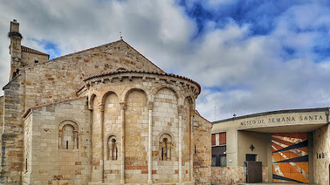
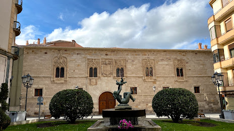
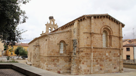
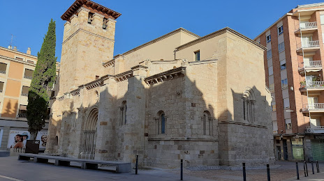
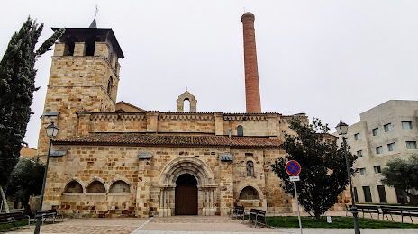
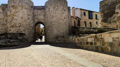
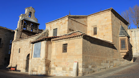
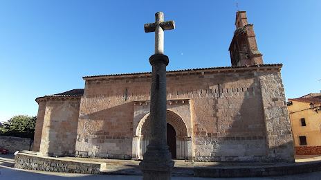
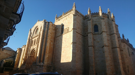
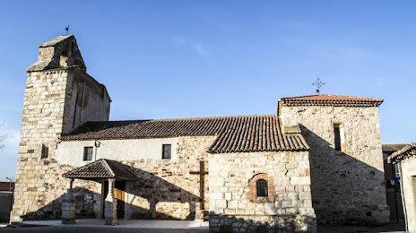
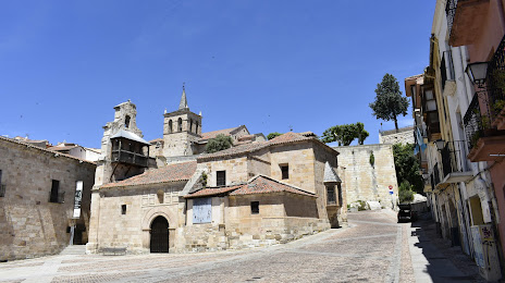
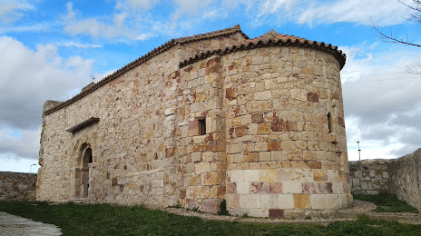
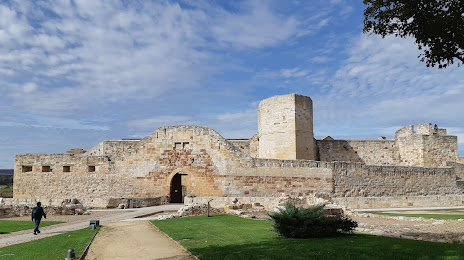
Attractions


Distance to the capital
Distance to the capital (Madrid) is about — 210 km.