
 Güimar
San Bartolomé
Pozuelo
Valentín
Caravaca de la Cruz
Telde
Gesaltza Añana
Aoiz
Viveros
Zamora
San Roque
Castriḷḷón
Pedrosa de Duero
Arona
El Tablero
Betanzos
Solsona
Naves
Aiguaviva
Güimar
San Bartolomé
Pozuelo
Valentín
Caravaca de la Cruz
Telde
Gesaltza Añana
Aoiz
Viveros
Zamora
San Roque
Castriḷḷón
Pedrosa de Duero
Arona
El Tablero
Betanzos
Solsona
Naves
Aiguaviva
Pinto on the map, Spain
Where is located Pinto
Exact location — Pinto, Madrid, Comunidad de Madrid, Spain, marked on the map with a red marker.
Coordinates
Pinto, Spain coordinates in decimal format: latitude — 40.2375052, longitude — -3.6967718. When converted to degrees, minutes, seconds Pinto has the following coordinates: 40°14′15.02 north latitude and -3°41′48.38 east longitude.
Population
Pinto, Madrid, Comunidad de Madrid, Spain, according to our data the population is — 34,665 residents, which is about 0.1% of the total population of the country (Spain).
Comparison of the population on the graph:
Exact time
Time zone for this location Pinto — UTC +2 Europe/Madrid. Exact time — sunday, 4 april 2024 year, 01 h. 21 minute.
Sunrise and sunset
Pinto, sunrise and sunset data for a date — sunday 28.04.2024.
| Sunrise | Sunset | Day (duration) |
|---|---|---|
| 07:20 -1 minute | 21:03 +1 minute | 13 h. 42 minutes. +2 minutes |
You can control the scale of the map using the auxiliary tools to find out exactly where it is located Pinto. When you change the scale of the map, the width of the ruler also changes (in kilometers and miles).
Nearby cities
The largest cities that are located nearby:
- Getafe — 8 km
- Fuenlabrada — 11 km
- Leganés — 12 km
- Alcorcón — 16 km
- Móstoles — 17 km
- Torrejón de Ardoz — 31 km
- Alcobendas — 34 km
- Alcala de Henares — 39 km
- Valladolid — 178 km
- Salamanca — 183 km
- Albacete — 209 km
- Burgos — 233 km
- Logroño — 266 km
- Jaén — 272 km
- Córdoba — 276 km
- Zaragoza — 280 km
- Valencia — 296 km
- Vitoria-Gasteiz — 301 km
- León — 302 km
Distance to neighboring capitals:
- Lisbon
 (Portugal) — 497 km
 - Andorra la Vella
 (Andorra) — 503 km
 - Rabat
 (Morocco) — 751 km
 - Paris
 (France) — 1071 km
 - Paris (France) — 1071 km
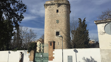
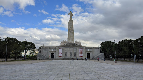
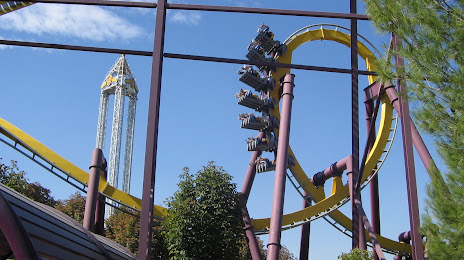
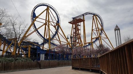
Attractions


Distance to the capital
Distance to the capital (Madrid) is about — 20 km.