
 Castellanos de Moriscos
Morcillo
Aduna
Güimar
San Bartolomé
Pozuelo
Valentín
Caravaca de la Cruz
Telde
Pedrosa de Duero
Arona
El Tablero
Betanzos
Solsona
Naves
Aiguaviva
Guía de Isora
Àger
Pueyo
Castellanos de Moriscos
Morcillo
Aduna
Güimar
San Bartolomé
Pozuelo
Valentín
Caravaca de la Cruz
Telde
Pedrosa de Duero
Arona
El Tablero
Betanzos
Solsona
Naves
Aiguaviva
Guía de Isora
Àger
Pueyo
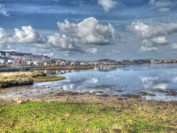
Cambre on the map, Spain
Where is located Cambre
Exact location — Cambre, A Coruña, Galicia, Spain, marked on the map with a red marker.
Coordinates
Cambre, Spain coordinates in decimal format: latitude — 43.2926146, longitude — -8.3422786. When converted to degrees, minutes, seconds Cambre has the following coordinates: 43°17′33.41 north latitude and -8°20′32.2 east longitude.
Population
Cambre, A Coruña, Galicia, Spain, according to our data the population is — 19,445 residents, which is about 0% of the total population of the country (Spain).
Comparison of the population on the graph:
Exact time
Time zone for this location Cambre — UTC +2 Europe/Madrid. Exact time — sunday, 5 may 2024 year, 18 h. 15 minutes.
Sunrise and sunset
Cambre, sunrise and sunset data for a date — sunday 12.05.2024.
| Sunrise | Sunset | Day (duration) |
|---|---|---|
| 07:15 -1 minute | 21:44 +1 minute | 14 h. 30 minutes. +2 minutes |
You can control the scale of the map using the auxiliary tools to find out exactly where it is located Cambre. When you change the scale of the map, the width of the ruler also changes (in kilometers and miles).
Nearby cities
The largest cities that are located nearby:
- A Coruña — 10 km
- Ourense — 113 km
- Vigo — 120 km
- Braga
 (Portugal) — 193 km
 - Oviedo — 201 km
- Gijón — 217 km
- Porto (Portugal) — 237 km
- León — 239 km
- Salamanca — 341 km
- Coimbra (Portugal) — 342 km
- Valladolid — 350 km
- Santander — 364 km
- Burgos — 394 km
- Bilbao — 435 km
- Vitoria-Gasteiz — 461 km
- Logroño — 490 km
- Alcobendas — 499 km
- Móstoles — 500 km
- Alcorcón — 501 km
Distance to neighboring capitals:
- Lisbon (Portugal) — 513 km
- Andorra la Vella
 (Andorra) — 808 km
 - Paris
 (France) — 1030 km
 - Paris (France) — 1030 km
- Rabat
 (Morocco) — 1045 km
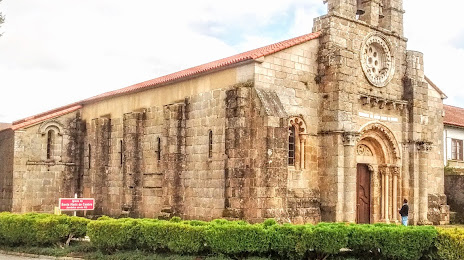
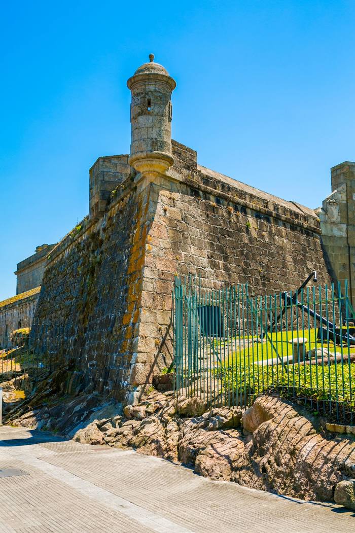
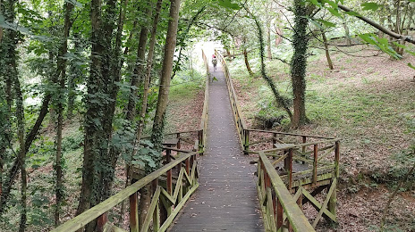
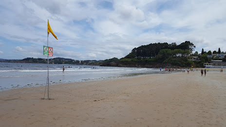
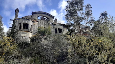
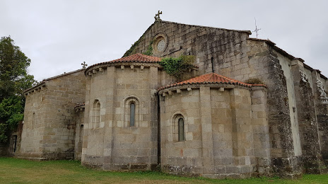
Attractions
Distance to the capital
Distance to the capital (Madrid) is about — 500 km.