Florianópolis — Iraquara
Florianópolis — Serra Preta
Florianópolis — Urubici
Florianópolis — Pouso Novo
Florianópolis — Bofete
Florianópolis — Lagoa Santa
Florianópolis — Monsenhor Tabosa
Florianópolis — Brumadinho
Florianópolis — Belterra
Florianópolis — Nantes
Florianópolis — Orlândia
Florianópolis — Coxim
Florianópolis — Victoria
Florianópolis — Contagem
Florianópolis — Centro
Florianópolis — Aporé
Florianópolis — Santa Vitória
Florianópolis — Formiga
Florianópolis — Sales
Biguaçu
Governador Celso Ramos
Tijucas
Meia Praia
Itapema
Itapema
Camboriú
Camboriú
Itajaí
Itajaí
Piçarras
Barra Velha
São João do Itaperiú
Joinville
Garuva
Marcelino
São José dos Pinhais
Piraquara
Quatro Barras
Campina Grande do Sul
Cajati
Registro
Miracatu
Pedro de Toledo
Peruíbe
Mongaguá
Spa Esmeralda
Praia Grande
São Vicente
São Vicente
Cubatão
Santos
Bertioga
São Sebastião
São Sebastião
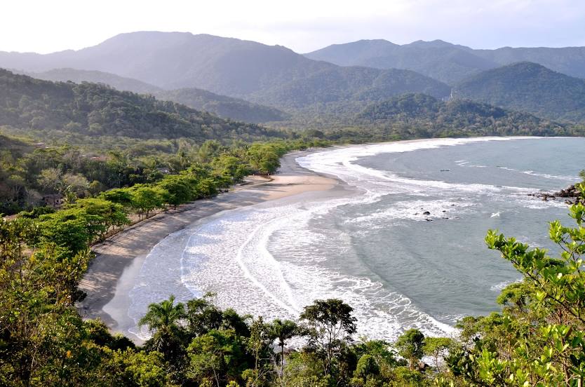
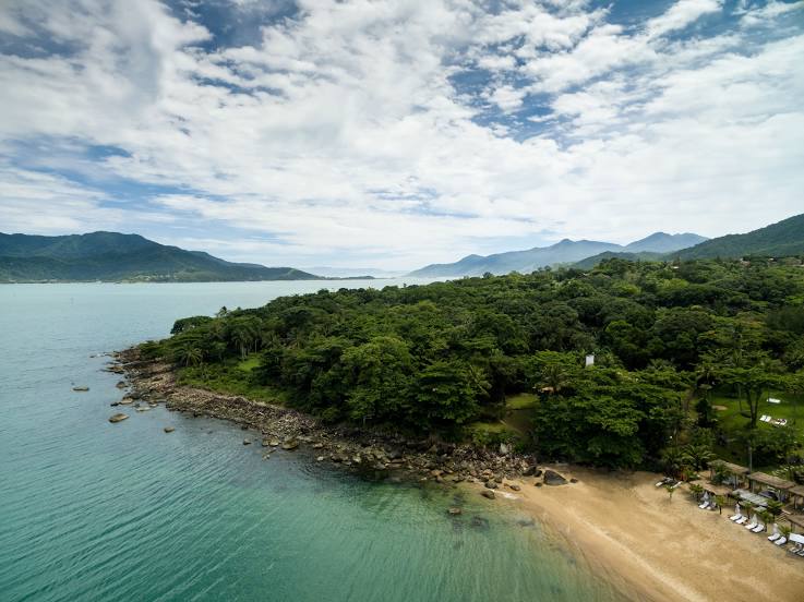
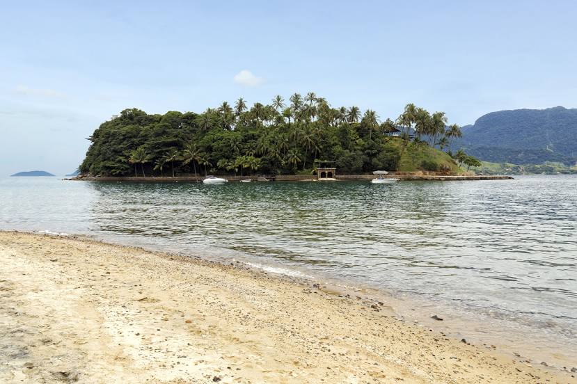
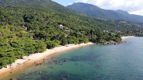
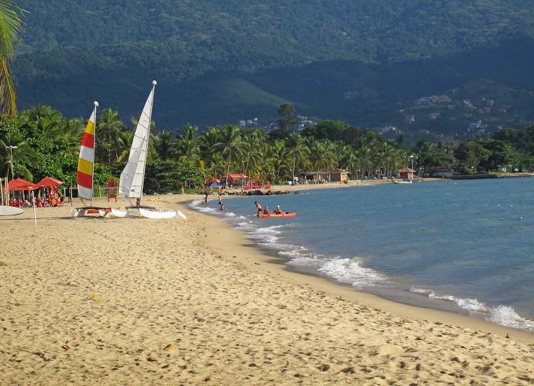
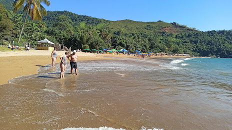
Florianópolis — Ilhabela distance, route on the map
Distance by car
Distance between Florianópolis, State of Santa Catarina, Brazil and Ilhabela, São Paulo, Brazil by car is — km, or miles. To travel this distance by car, you need minute, or h.
Route on the map, driving directions
Car route Florianópolis — Ilhabela was created automatically. The road on the map is shown as a blue line. By moving the markers, you can create a new route through the points you need.
Passing cities through which the car route passes: São José, Biguaçu, Governador Celso Ramos, Tijucas, Meia Praia, Itapema, Itapema, Camboriú, Camboriú, Itajaí, Itajaí, Piçarras, Barra Velha, São João do Itaperiú, Joinville, Garuva, Marcelino, São José dos Pinhais, Piraquara, Quatro Barras, Campina Grande do Sul, Cajati, Registro, Miracatu, Pedro de Toledo, Peruíbe, Mongaguá, Spa Esmeralda, Praia Grande, São Vicente, São Vicente, Cubatão, Santos, Bertioga, São Sebastião, São Sebastião.
Distance by plane
If you decide to take a trip Florianópolis Ilhabela by plane, then you have to fly the distance — 528 km or 327 miles. It is marked on the map with a gray line (between two points in a straight line).
Flight time
Estimated flight time Florianópolis Ilhabela by plane at cruising speed 750 km / h will be — 42 min.
Direction of movement
Brazil, Florianópolis — right-hand traffic. Brazil, Ilhabela — right-hand traffic.
Difference in time
Florianópolis and Ilhabela are in the same time zone. Between them there is no time difference (UTC -3 America/Sao_Paulo).
Interesting Facts
Information on alternative ways to get to your destination.
The length of this distance is about 1.3% of the total length of the equator.
The percentage of the population is clearly shown in the graph:
Florianópolis — 412,724, Ilhabela — 32,903 residents (less by 379,821).
The cost of travel
Calculate the cost of the trip yourself using the fuel consumption calculator, changing the data in the table.