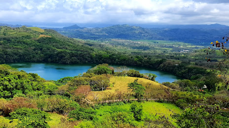
Santa Cruz Amilpas — Del Carmen
Santa Cruz Amilpas — Bacobampo
Santa Cruz Amilpas — Canatlán Municipality
Santa Cruz Amilpas — La Tigra
Santa Cruz Amilpas — Ayoquezco de Aldama
Santa Cruz Amilpas — Huimanguillo
Santa Cruz Amilpas — Acultzingo
Santa Cruz Amilpas — Nueva Villa de Padilla
Santa Cruz Amilpas — Apaxtla
Santa Cruz Amilpas — Santa María Huatulco
Santa Cruz Amilpas — Tomochi
Santa Cruz Amilpas — The Fortune
Santa Cruz Amilpas — Tangamandapio
Santa Cruz Amilpas — Puerto Morelos
Santa Cruz Amilpas — Gen. y Lic. Ignacio López Rayón International Airport
Santa Cruz Amilpas — Otumba
Santa Cruz Amilpas — Coahuila de Zaragoza
Santa Cruz Amilpas — Cuisillos
Santa Cruz Amilpas — Plan de Guadalupe International Airport
San Pablo Guelatao
Ixtlán de Juárez
San Juan Bautista Valle Nacional
Santa María Jacatepec
Tuxtepec
Tuxtepec
Loma Bonita
Estación Dobladero
Villa Azueta
Santa Cruz Amilpas — San Andres Tuxtla distance, route on the map
Distance by car
Distance between Santa Cruz Amilpas, Oaxaca, Mexico and San Andres Tuxtla, Veracruz, Mexico by car is — km, or miles. To travel this distance by car, you need minute, or h.
Route on the map, driving directions
Car route Santa Cruz Amilpas — San Andres Tuxtla was created automatically. The road on the map is shown as a blue line. By moving the markers, you can create a new route through the points you need.
Passing cities through which the car route passes: San Andres Huayapam, San Pablo Guelatao, Ixtlán de Juárez, San Juan Bautista Valle Nacional, Santa María Jacatepec, Tuxtepec, Tuxtepec, Loma Bonita, Estación Dobladero, Villa Azueta.
Distance by plane
If you decide to take a trip Santa Cruz Amilpas San Andres Tuxtla by plane, then you have to fly the distance — 219 km or 136 miles. It is marked on the map with a gray line (between two points in a straight line).
Flight time
Estimated flight time Santa Cruz Amilpas San Andres Tuxtla by plane at cruising speed 750 km / h will be — 17 min.
Direction of movement
Mexico, Santa Cruz Amilpas — right-hand traffic. Mexico, San Andres Tuxtla — right-hand traffic.
Difference in time
Santa Cruz Amilpas and San Andres Tuxtla are in the same time zone. Between them there is no time difference (UTC -6 America/Mexico_City).
Interesting Facts
Information on alternative ways to get to your destination.
The length of this distance is about 0.5% of the total length of the equator.
The percentage of the population is clearly shown in the graph:
Santa Cruz Amilpas — 10,120 (less by 45,577), San Andres Tuxtla — 55,697 residents.
The cost of travel
Calculate the cost of the trip yourself using the fuel consumption calculator, changing the data in the table.