
 Milagro
Yaguachi
Daule
Balao
Tambo Siberia
Hacienda Soldados
Latacunga
Cotacachi
Samborondon
Milagro
Yaguachi
Daule
Balao
Tambo Siberia
Hacienda Soldados
Latacunga
Cotacachi
Samborondon
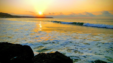
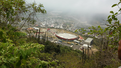
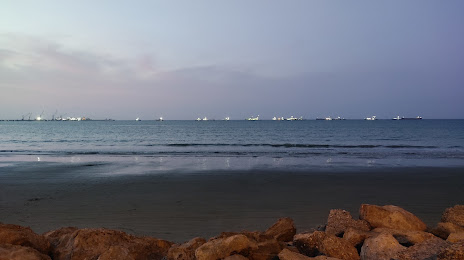
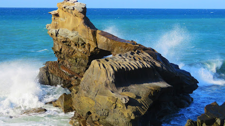
Manta on the map, Ecuador
Where is located Manta
Exact location — Manta, Manabi, Ecuador, marked on the map with a red marker.
Coordinates
Manta, Ecuador coordinates in decimal format: latitude — -0.9676533, longitude — -80.7089101. When converted to degrees, minutes, seconds Manta has the following coordinates: -0°58′3.55 north latitude and -80°42′32.08 east longitude.
Population
Manta, Manabi, Ecuador, according to our data the population is — 183,166 residents, which is about 1% of the total population of the country (Ecuador).
Comparison of the population on the graph:
Exact time
Time zone for this location Manta — UTC -5 America/Guayaquil. Exact time — wednesday, 5 may 2024 year, 17 h. 54 minutes.
Sunrise and sunset
Manta, sunrise and sunset data for a date — wednesday 8.05.2024.
| Sunrise | Sunset | Day (duration) |
|---|---|---|
| 06:19 -0 minutes | 18:19 -0 minutes | 12 h. 0 minutes. -0 minutes |
You can control the scale of the map using the auxiliary tools to find out exactly where it is located Manta. When you change the scale of the map, the width of the ruler also changes (in kilometers and miles).
Nearby cities
The largest cities that are located nearby:
- Portoviejo — 30 km
- Quevedo — 138 km
- Guayaquil — 159 km
- Milagro — 179 km
- Santo Domingo — 187 km
- Ambato — 233 km
- Riobamba — 240 km
- Cuenca — 285 km
- Tumbes
 (Peru) — 288 km
 - Ibarra — 321 km
- Santiago — 349 km
- Loja — 373 km
- Talara (Peru) — 404 km
- Sullana (Peru) — 435 km
- Pasto
 (Colombia) — 450 km
 - Piura (Peru) — 468 km
- Popayán (Colombia) — 590 km
- Florencia (Colombia) — 631 km
- Chiclayo (Peru) — 649 km
Distance to neighboring capitals:
- Bogota (Colombia) — 963 km
- Caracas
 (Venezuela) — 1989 km
 - Nuestra Señora de La Paz
 (Bolivia) — 2209 km
 - Santiago
 (Chile) — 3761 km
Attractions


Distance to the capital
Distance to the capital (Quito) is about — 264 km.