

Los Esteros on the map, Manta, Ecuador
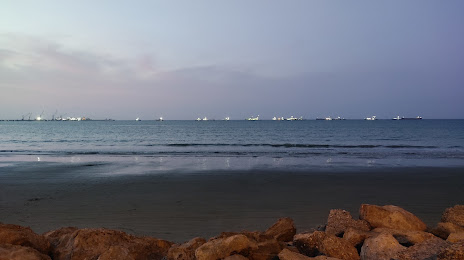
Photo
Where is located Los Esteros
Los Esteros — local attraction, which is located at no data and belongs to the category — -. Average visitor rating for this place — 4.0 (according to 11 ratings, information from open sources and relevant for 2022).
Exact location — Los Esteros, marked on the map with a red marker.
You can get directions to Los Esteros on the map from your location.
What else is interesting in Manta? You can see all the sights if you go to the city page.
Coordinates
Los Esteros, Ecuador coordinates in decimal format: latitude — -0.9776711817787934, longitude — -80.68929089498872. When converted to degrees, minutes, seconds Los Esteros has the following coordinates: -0°58′39.62 north latitude and -80°41′21.45 east longitude.
Nearby cities
The largest cities that are located nearby:
- Portoviejo — 30 km
- Quevedo — 138 km
- Guayaquil — 159 km
- Milagro — 179 km
- Santo Domingo — 187 km
- Ambato — 233 km
- Riobamba — 240 km
- Cuenca — 285 km
- Tumbes
 (Peru) — 288 km
 - Ibarra — 321 km
- Santiago — 349 km
- Loja — 373 km
- Talara (Peru) — 404 km
- Sullana (Peru) — 435 km
- Pasto
 (Colombia) — 450 km
 - Piura (Peru) — 468 km
- Popayán (Colombia) — 590 km
- Florencia (Colombia) — 631 km
- Chiclayo (Peru) — 649 km
Distance to the capital
Distance to the capital (Quito) is about — 262 km.