Vilhena Airport — Cosmópolis
Vilhena Airport — Brodowski
Vilhena Airport — Juranda
Vilhena Airport — Formosa
Vilhena Airport — Licínio de Almeida
Vilhena Airport — Piripiri
Vilhena Airport — Estância
Vilhena Airport — Erval Grande
Vilhena Airport — Osório
Vilhena Airport — Brazil
Vilhena Airport — Álvaro de Carvalho
Vilhena Airport — Campanário
Vilhena Airport — Alagoa Grande
Vilhena Airport — Sobrália
Vilhena Airport — Mamanguape
Vilhena Airport — Ubá
Vilhena Airport — Pires Ferreira
Vilhena Airport — Santana do Livramento
Vilhena Airport — Cruzeta
Zico
Comodoro
Nova Lacerda
Pontes e Lacerda
Cáceres
Cáceres
Várzea Grande
Marechal Rondon International Airport
Cuiaba
Jaciara
Rondonópolis
Alto Araguaia
Santa Rita do Araguaia
Mineiros
Jataí
Rio Verde
Guapó
Goiânia
Goiânia Airport
Goianápolis
Anápolis
Anápolis
Abadiânia
Alexânia
Taguatinga
35
Brasilia
Planaltina
Formosa
Vila Boa
Posse
Correntina
Santa Maria da Vitória
Bom Jesus da Lapa
Caetité
Brumado
Santo Estêvão
Feira de Santana
Estaleiro
Estrada das Barreiras
Itaigara
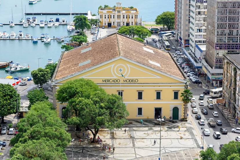
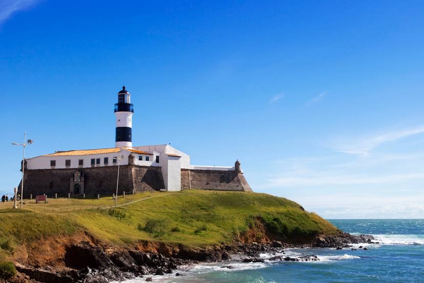
Salvador
Vilhena Airport — Cosmópolis
Vilhena Airport — Brodowski
Vilhena Airport — Juranda
Vilhena Airport — Formosa
Vilhena Airport — Licínio de Almeida
Vilhena Airport — Piripiri
Vilhena Airport — Estância
Vilhena Airport — Erval Grande
Vilhena Airport — Osório
Vilhena Airport — Brazil
Vilhena Airport — Álvaro de Carvalho
Vilhena Airport — Campanário
Vilhena Airport — Alagoa Grande
Vilhena Airport — Sobrália
Vilhena Airport — Mamanguape
Vilhena Airport — Ubá
Vilhena Airport — Pires Ferreira
Vilhena Airport — Santana do Livramento
Vilhena Airport — Cruzeta
Zico
Comodoro
Nova Lacerda
Pontes e Lacerda
Cáceres
Cáceres
Várzea Grande
Marechal Rondon International Airport
Cuiaba
Jaciara
Rondonópolis
Alto Araguaia
Santa Rita do Araguaia
Mineiros
Jataí
Rio Verde
Guapó
Goiânia
Goiânia Airport
Goianápolis
Anápolis
Anápolis
Abadiânia
Alexânia
Taguatinga
35
Brasilia
Planaltina
Formosa
Vila Boa
Posse
Correntina
Santa Maria da Vitória
Bom Jesus da Lapa
Caetité
Brumado
Santo Estêvão
Feira de Santana
Estaleiro
Estrada das Barreiras
Itaigara
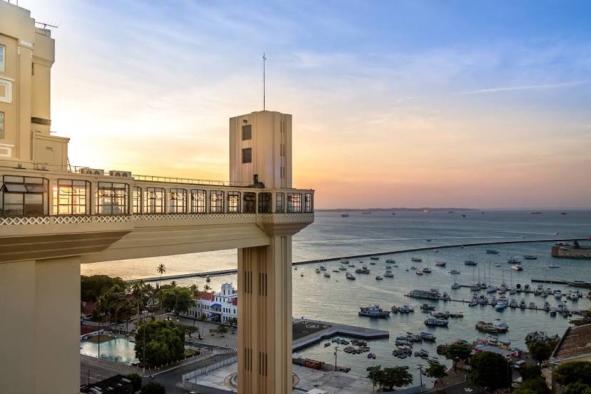
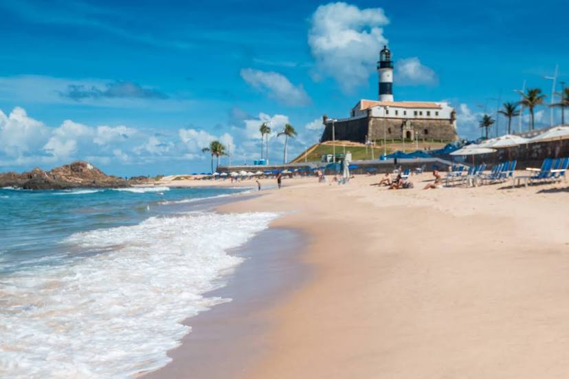
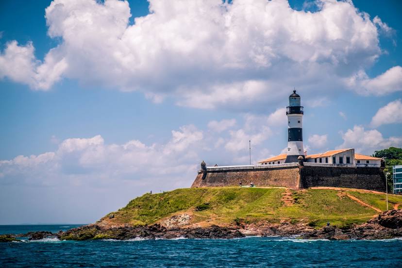
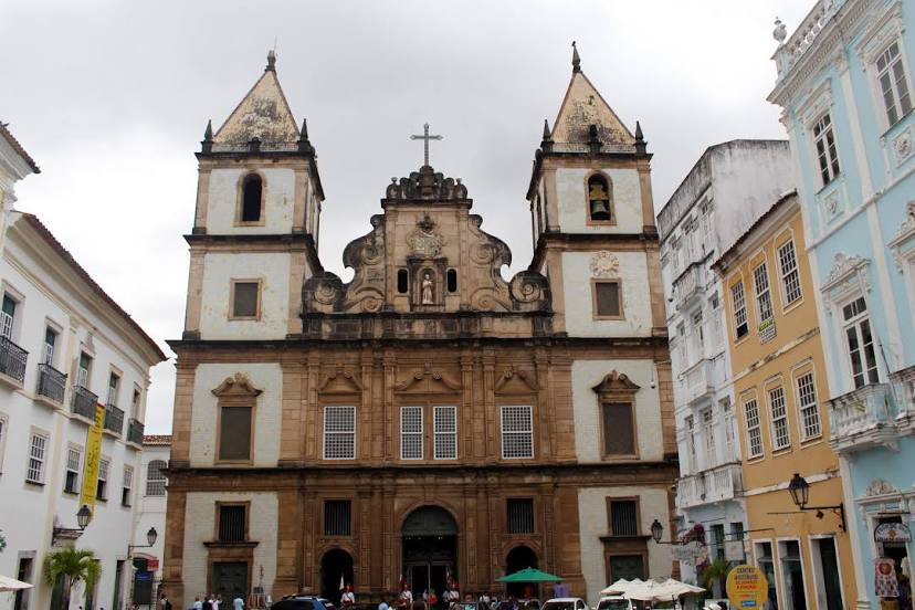
Salvador
Vilhena Airport — Salvador distance, route on the map
Distance by car
Distance between Vilhena Airport, Rondônia, Brazil and Salvador, State of Bahia, Brazil by car is — km, or miles. To travel this distance by car, you need minute, or h.
Route on the map, driving directions
Car route Vilhena Airport — Salvador was created automatically. The road on the map is shown as a blue line. By moving the markers, you can create a new route through the points you need.
Passing cities through which the car route passes: Vilhena, Zico, Comodoro, Nova Lacerda, Pontes e Lacerda, Cáceres, Cáceres, Várzea Grande, Marechal Rondon International Airport, Cuiaba, Jaciara, Rondonópolis, Alto Araguaia, Santa Rita do Araguaia, Mineiros, Jataí, Rio Verde, Guapó, Goiânia, Goiânia Airport, Goianápolis, Anápolis, Anápolis, Abadiânia, Alexânia, Taguatinga, 35, Brasilia, Planaltina, Formosa, Vila Boa, Posse, Correntina, Santa Maria da Vitória, Bom Jesus da Lapa, Caetité, Brumado, Santo Estêvão, Feira de Santana, Estaleiro, Estrada das Barreiras, Itaigara, Salvador.
Distance by plane
If you decide to take a trip Vilhena Airport Salvador by plane, then you have to fly the distance — 2342 km or 1452 miles. It is marked on the map with a gray line (between two points in a straight line).
Flight time
Estimated flight time Vilhena Airport Salvador by plane at cruising speed 750 km / h will be — 3 h. and 7 min.
Direction of movement
Brazil, Vilhena Airport — right-hand traffic. Brazil, Salvador — right-hand traffic.
Difference in time
Vilhena Airport and Salvador are in different time zones. The time difference is 1 hour (UTC -4 America/Boa_Vista, UTC -3 America/Fortaleza).
Interesting Facts
Information on alternative ways to get to your destination.
The length of this distance is about 5.8% of the total length of the equator.
The cost of travel
Calculate the cost of the trip yourself using the fuel consumption calculator, changing the data in the table.