Dois Irmãos — Jacobina
Dois Irmãos — Queimadas
Dois Irmãos — Populina
Dois Irmãos — Campos Gerais
Dois Irmãos — Franco da Rocha
Dois Irmãos — Jaguarão
Dois Irmãos — Paulo Afonso
Dois Irmãos — Hat Hill
Dois Irmãos — Nova Palma
Dois Irmãos — Flexeiras
Dois Irmãos — Laranjal Paulista
Dois Irmãos — Limoeiro do Norte
Dois Irmãos — Itarana
Dois Irmãos — Boa Vista
Dois Irmãos — Aramina
Dois Irmãos — Campo Bonito
Dois Irmãos — Bandeira
Dois Irmãos — Olímpio Noronha
Dois Irmãos — Porangatu
Parobé
Taquara
Rolante
Santo Antônio da Patrulha
Osório
Terra de Areia
Torres
Torres
São João do Sul
Sombrio
Araranguá
Maracajá
Içara
Morro da Fumaça
Jaguaruna
Tubarão
Tubarão
Laguna
Imbituba
Ibiraquera
Paulo Lopes
Guarda do Embaú
Palhoça
São José
Biguaçu
Governador Celso Ramos
Dois Irmãos — Tijucas distance, route on the map
Distance by car
Distance between Dois Irmãos, Rio Grande do Sul, Brazil and Tijucas, Santa Catarina, Brazil by car is — km, or miles. To travel this distance by car, you need minute, or h.
Route on the map, driving directions
Car route Dois Irmãos — Tijucas was created automatically. The road on the map is shown as a blue line. By moving the markers, you can create a new route through the points you need.
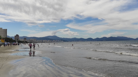
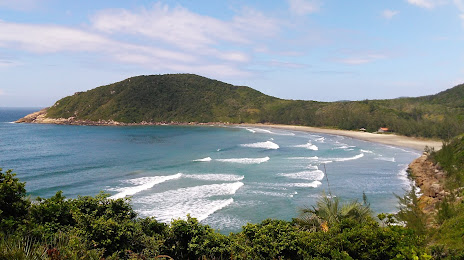
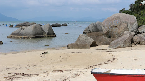
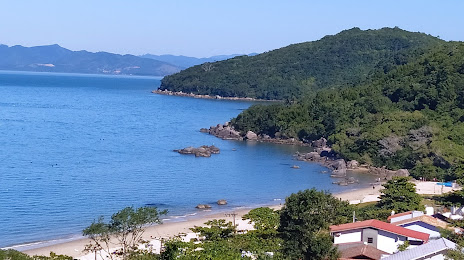
Passing cities through which the car route passes: Sapiranga, Parobé, Taquara, Rolante, Santo Antônio da Patrulha, Osório, Terra de Areia, Torres, Torres, São João do Sul, Sombrio, Araranguá, Maracajá, Içara, Morro da Fumaça, Jaguaruna, Tubarão, Tubarão, Laguna, Imbituba, Ibiraquera, Paulo Lopes, Guarda do Embaú, Palhoça, São José, Biguaçu, Governador Celso Ramos.
Distance by plane
If you decide to take a trip Dois Irmãos Tijucas by plane, then you have to fly the distance — 355 km or 220 miles. It is marked on the map with a gray line (between two points in a straight line).
Flight time
Estimated flight time Dois Irmãos Tijucas by plane at cruising speed 750 km / h will be — 28 min.
Direction of movement
Brazil, Dois Irmãos — right-hand traffic. Brazil, Tijucas — right-hand traffic.
Difference in time
Dois Irmãos and Tijucas are in the same time zone. Between them there is no time difference (UTC -3 America/Sao_Paulo).
Interesting Facts
Information on alternative ways to get to your destination.
The length of this distance is about 0.9% of the total length of the equator.
The percentage of the population is clearly shown in the graph:
Dois Irmãos — 28,926, Tijucas — 22,481 residents (less by 6,445).
The cost of travel
Calculate the cost of the trip yourself using the fuel consumption calculator, changing the data in the table.