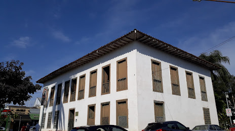
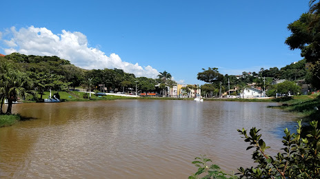
Carmo da Cachoeira — São Sebastião
Carmo da Cachoeira — Piratuba
Carmo da Cachoeira — Coelho Neto
Carmo da Cachoeira — Girau do Ponciano
Carmo da Cachoeira — Itambé
Carmo da Cachoeira — Balsas
Carmo da Cachoeira — Álvares Machado
Carmo da Cachoeira — Pombal
Carmo da Cachoeira — St. Catarina
Carmo da Cachoeira — Guadalupe
Carmo da Cachoeira — Quixadá
Carmo da Cachoeira — Casa Nova
Carmo da Cachoeira — Icaraíma
Carmo da Cachoeira — Abaetetuba
Carmo da Cachoeira — Guaçuí
Carmo da Cachoeira — Nova Aurora
Carmo da Cachoeira — Borebi
Carmo da Cachoeira — Guaiúba
Carmo da Cachoeira — Km 15
Três Corações
Campanha
São Sebastião da Bela Vista
Pouso Alegre
Cambuí
Camanducaia
Extrema
Carmo da Cachoeira — Atibaia distance, route on the map
Distance by car
Distance between Carmo da Cachoeira, Minas Gerais, Brazil and Atibaia, São Paulo, Brazil by car is — km, or miles. To travel this distance by car, you need minute, or h.
Route on the map, driving directions
Car route Carmo da Cachoeira — Atibaia was created automatically. The road on the map is shown as a blue line. By moving the markers, you can create a new route through the points you need.
Passing cities through which the car route passes: Carmo da Cachoeira, Três Corações, Campanha, São Sebastião da Bela Vista, Pouso Alegre, Cambuí, Camanducaia, Extrema.
Distance by plane
If you decide to take a trip Carmo da Cachoeira Atibaia by plane, then you have to fly the distance — 233 km or 144 miles. It is marked on the map with a gray line (between two points in a straight line).
Flight time
Estimated flight time Carmo da Cachoeira Atibaia by plane at cruising speed 750 km / h will be — 18 min.
Direction of movement
Brazil, Carmo da Cachoeira — right-hand traffic. Brazil, Atibaia — right-hand traffic.
Difference in time
Carmo da Cachoeira and Atibaia are in the same time zone. Between them there is no time difference (UTC -3 America/Sao_Paulo).
Interesting Facts
Information on alternative ways to get to your destination.
The length of this distance is about 0.6% of the total length of the equator.
The cost of travel
Calculate the cost of the trip yourself using the fuel consumption calculator, changing the data in the table.