Quitandinha — Tijucas
Quitandinha — Maracaju
Quitandinha — Chuí
Quitandinha — Laguna
Quitandinha — Castelo do Piauí
Quitandinha — Barcarena
Quitandinha — Cambuí
Quitandinha — Guadalupe
Quitandinha — Seringal Tamacuro
Quitandinha — Biquinhas
Quitandinha — Rio Verde de Mato Grosso
Quitandinha — Maragogi
Quitandinha — Doutor Camargo
Quitandinha — Itapema
Quitandinha — São Bernardo do Campo
Quitandinha — São Lourenço
Quitandinha — Araguaiana
Quitandinha — Morungaba
Quitandinha — Santa Cruz da Conceição
Fazenda Rio Grande
São José dos Pinhais
Piraquara
Quatro Barras
Campina Grande do Sul
Cajati
Registro
Miracatu
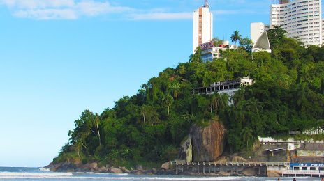
Pedro de Toledo
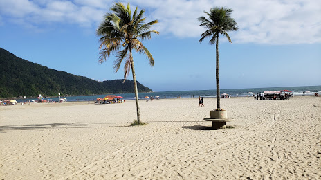
Peruíbe
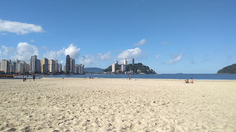
Mongaguá
Spa Esmeralda
Quitandinha — Tijucas
Quitandinha — Maracaju
Quitandinha — Chuí
Quitandinha — Laguna
Quitandinha — Castelo do Piauí
Quitandinha — Barcarena
Quitandinha — Cambuí
Quitandinha — Guadalupe
Quitandinha — Seringal Tamacuro
Quitandinha — Biquinhas
Quitandinha — Rio Verde de Mato Grosso
Quitandinha — Maragogi
Quitandinha — Doutor Camargo
Quitandinha — Itapema
Quitandinha — São Bernardo do Campo
Quitandinha — São Lourenço
Quitandinha — Araguaiana
Quitandinha — Morungaba
Quitandinha — Santa Cruz da Conceição
Fazenda Rio Grande
São José dos Pinhais
Piraquara
Quatro Barras
Campina Grande do Sul
Cajati
Registro
Miracatu
Pedro de Toledo
Peruíbe
Mongaguá
Spa Esmeralda
Quitandinha — Praia Grande distance, route on the map
Distance by car
Distance between Quitandinha, Paraná, Brazil and Praia Grande, São Paulo, Brazil by car is — km, or miles. To travel this distance by car, you need minute, or h.
Route on the map, driving directions
Car route Quitandinha — Praia Grande was created automatically. The road on the map is shown as a blue line. By moving the markers, you can create a new route through the points you need.
Passing cities through which the car route passes: Mandirituba, Fazenda Rio Grande, São José dos Pinhais, Piraquara, Quatro Barras, Campina Grande do Sul, Cajati, Registro, Miracatu, Pedro de Toledo, Peruíbe, Mongaguá, Spa Esmeralda.
Distance by plane
If you decide to take a trip Quitandinha Praia Grande by plane, then you have to fly the distance — 374 km or 232 miles. It is marked on the map with a gray line (between two points in a straight line).
Flight time
Estimated flight time Quitandinha Praia Grande by plane at cruising speed 750 km / h will be — 29 min.
Direction of movement
Brazil, Quitandinha — right-hand traffic. Brazil, Praia Grande — right-hand traffic.
Difference in time
Quitandinha and Praia Grande are in the same time zone. Between them there is no time difference (UTC -3 America/Sao_Paulo).
Interesting Facts
Information on alternative ways to get to your destination.
The length of this distance is about 0.9% of the total length of the equator.
The cost of travel
Calculate the cost of the trip yourself using the fuel consumption calculator, changing the data in the table.