Tixpéhual — Matamoros
Tixpéhual — Buenaventura
Tixpéhual — Ciudad Jiménez
Tixpéhual — El Limón
Tixpéhual — Quecholac
Tixpéhual — Xochitepec
Tixpéhual — Suaqui Grande
Tixpéhual — Zinacantán
Tixpéhual — Tampacan
Tixpéhual — Barretal
Tixpéhual — Hernández
Tixpéhual — Santa María Mixtequilla
Tixpéhual — Yahualica
Tixpéhual — Palenque
Tixpéhual — Allende
Tixpéhual — Brisas de Zicatela
Tixpéhual — Nácori Chico
Tixpéhual — Onavas
Tixpéhual — Guadalupe Victoria
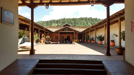
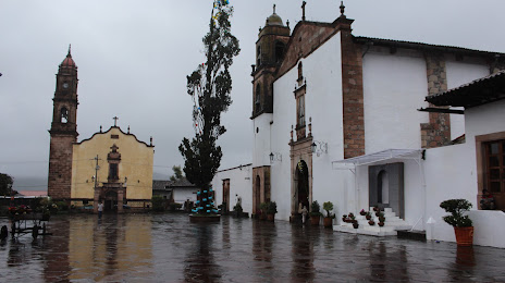
Tixpéhual — Santa Clara del Cobre distance, route on the map
Distance by car
Distance between Tixpéhual, Yucatán, Mexico and Santa Clara del Cobre, Michoacán, Mexico by car is — km, or miles. To travel this distance by car, you need minute, or h.
Route on the map, driving directions
Car route Tixpéhual — Santa Clara del Cobre was created automatically. The road on the map is shown as a blue line. By moving the markers, you can create a new route through the points you need.
Distance by plane
If you decide to take a trip Tixpéhual Santa Clara del Cobre by plane, then you have to fly the distance — 1285 km or 797 miles. It is marked on the map with a gray line (between two points in a straight line).
Flight time
Estimated flight time Tixpéhual Santa Clara del Cobre by plane at cruising speed 750 km / h will be — 1 h. and 42 min.
Direction of movement
Mexico, Tixpéhual — right-hand traffic. Mexico, Santa Clara del Cobre — right-hand traffic.
Difference in time
Tixpéhual and Santa Clara del Cobre are in the same time zone. Between them there is no time difference (UTC -6 America/Mexico_City).
Interesting Facts
Information on alternative ways to get to your destination.
The length of this distance is about 3.2% of the total length of the equator.
The percentage of the population is clearly shown in the graph:
Tixpéhual — 3,334 (less by 11,025), Santa Clara del Cobre — 14,359 residents.
The cost of travel
Calculate the cost of the trip yourself using the fuel consumption calculator, changing the data in the table.