Natal — Getulina
Natal — Juranda
Natal — São Miguel Arcanjo
Natal — Pacoti
Natal — Nova Olinda
Natal — Plácido de Castro
Natal — Harmonia
Natal — Iraquara
Natal — Três Rios
Natal — Rio Negro
Natal — Castro
Natal — Cabeceiras
Natal — Marilac
Natal — Rio das Flores
Natal — Maranguape
Natal — Paulo Afonso
Natal — Nova Olímpia
Natal — Benedito Novo
Natal — Montezuma
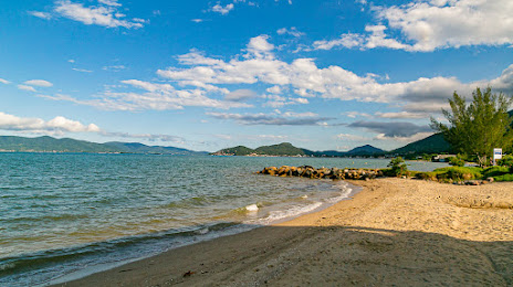
Natal — Santo Amaro da Imperatriz distance, route on the map
Distance by car
Distance between Natal, Rio Grande do Norte, Brazil and Santo Amaro da Imperatriz, Santa Catarina, Brazil by car is — km, or miles. To travel this distance by car, you need minute, or h.
Route on the map, driving directions
Car route Natal — Santo Amaro da Imperatriz was created automatically. The road on the map is shown as a blue line. By moving the markers, you can create a new route through the points you need.
Distance by plane
If you decide to take a trip Natal Santo Amaro da Imperatriz by plane, then you have to fly the distance — 2828 km or 1753 miles. It is marked on the map with a gray line (between two points in a straight line).
Flight time
Estimated flight time Natal Santo Amaro da Imperatriz by plane at cruising speed 750 km / h will be — 3 h. and 46 min.
Direction of movement
Brazil, Natal — right-hand traffic. Brazil, Santo Amaro da Imperatriz — right-hand traffic.
Difference in time
Natal and Santo Amaro da Imperatriz are in the same time zone. Between them there is no time difference (UTC -3 America/Fortaleza).
Interesting Facts
Information on alternative ways to get to your destination.
The length of this distance is about 7.1% of the total length of the equator.
The percentage of the population is clearly shown in the graph:
Natal — 763,057, Santo Amaro da Imperatriz — 18,420 residents (less by 744,637).
The cost of travel
Calculate the cost of the trip yourself using the fuel consumption calculator, changing the data in the table.