São José dos Pinhais — Harmonia
São José dos Pinhais — Rodolfo Fernandes
São José dos Pinhais — Mari
São José dos Pinhais — Mairiporã
São José dos Pinhais — Bom Jardim
São José dos Pinhais — Carutapera
São José dos Pinhais — Veranópolis
São José dos Pinhais — Monte Alegre
São José dos Pinhais — Alagoinha
São José dos Pinhais — Ajuricaba
São José dos Pinhais — Ibateguara
São José dos Pinhais — Campos Lindos
São José dos Pinhais — Remanso
São José dos Pinhais — Jaboticatubas
São José dos Pinhais — Lajinha
São José dos Pinhais — Araci
São José dos Pinhais — Montividiu
São José dos Pinhais — Capistrano
São José dos Pinhais — Santa Cruz da Conceição
Quatro Barras
Campina Grande do Sul
Cajati
Registro
Miracatu
Pedro de Toledo
Peruíbe
São José dos Pinhais — Mongaguá distance, route on the map
Distance by car
Distance between São José dos Pinhais, Paraná, Brazil and Mongaguá, São Paulo, Brazil by car is — km, or miles. To travel this distance by car, you need minute, or h.
Route on the map, driving directions
Car route São José dos Pinhais — Mongaguá was created automatically. The road on the map is shown as a blue line. By moving the markers, you can create a new route through the points you need.
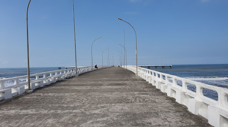
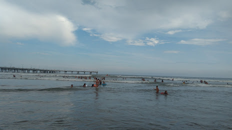
Passing cities through which the car route passes: Piraquara, Quatro Barras, Campina Grande do Sul, Cajati, Registro, Miracatu, Pedro de Toledo, Peruíbe.
Distance by plane
If you decide to take a trip São José dos Pinhais Mongaguá by plane, then you have to fly the distance — 300 km or 186 miles. It is marked on the map with a gray line (between two points in a straight line).
Flight time
Estimated flight time São José dos Pinhais Mongaguá by plane at cruising speed 750 km / h will be — 24 min.
Direction of movement
Brazil, São José dos Pinhais — right-hand traffic. Brazil, Mongaguá — right-hand traffic.
Difference in time
São José dos Pinhais and Mongaguá are in the same time zone. Between them there is no time difference (UTC -3 America/Sao_Paulo).
Interesting Facts
Information on alternative ways to get to your destination.
The length of this distance is about 0.7% of the total length of the equator.
The percentage of the population is clearly shown in the graph:
São José dos Pinhais — 229,988, Mongaguá — 45,931 residents (less by 184,057).
The cost of travel
Calculate the cost of the trip yourself using the fuel consumption calculator, changing the data in the table.