Getúlio Vargas — Dom Pedrito
Getúlio Vargas — Jumirim
Getúlio Vargas — Santaluz
Getúlio Vargas — Correia Pinto
Getúlio Vargas — Madre de Deus de Minas
Getúlio Vargas — Cáceres
Getúlio Vargas — 35
Getúlio Vargas — Salvador
Getúlio Vargas — Igaratinga
Getúlio Vargas — Cachoeirinha
Getúlio Vargas — Inhumas
Getúlio Vargas — Arapongas
Getúlio Vargas — Igaraçu do Tietê
Getúlio Vargas — Virgem da Lapa
Getúlio Vargas — Cristiano Otoni
Getúlio Vargas — Aquidauana
Getúlio Vargas — Amargosa
Getúlio Vargas — Erval Velho
Getúlio Vargas — Juruti
Concórdia
Irani
General Carneiro
União da Vitória
Paulo Frontin
São Mateus do Sul
Lapa
Contenda
Araucária
São José dos Pinhais
Piraquara
Quatro Barras
Campina Grande do Sul
Cajati
Registro
Miracatu
Pedro de Toledo
Peruíbe
Mongaguá
Spa Esmeralda
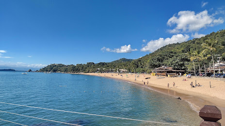
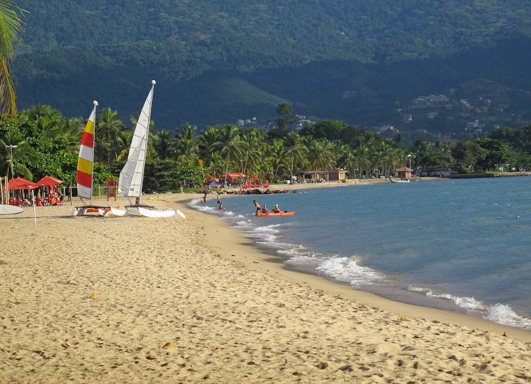
Praia Grande
São Vicente
Cubatão
Santos
Bertioga
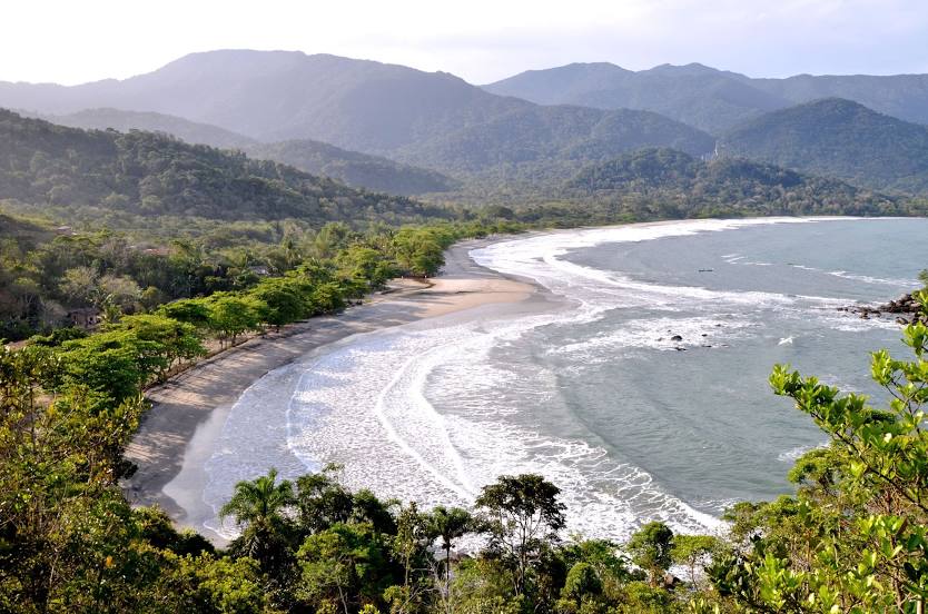
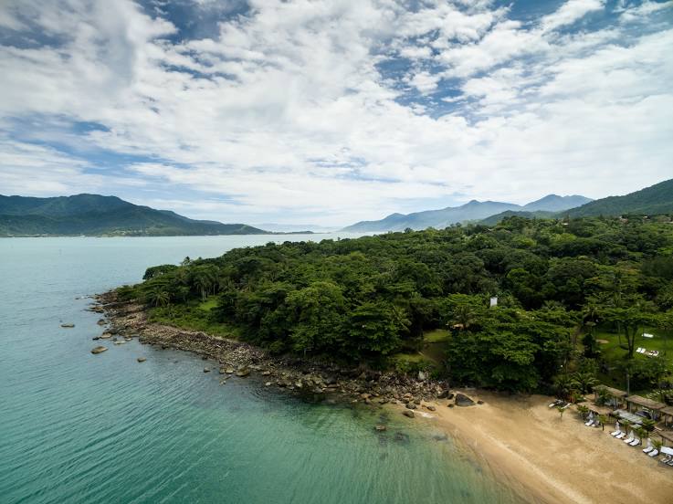
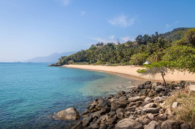
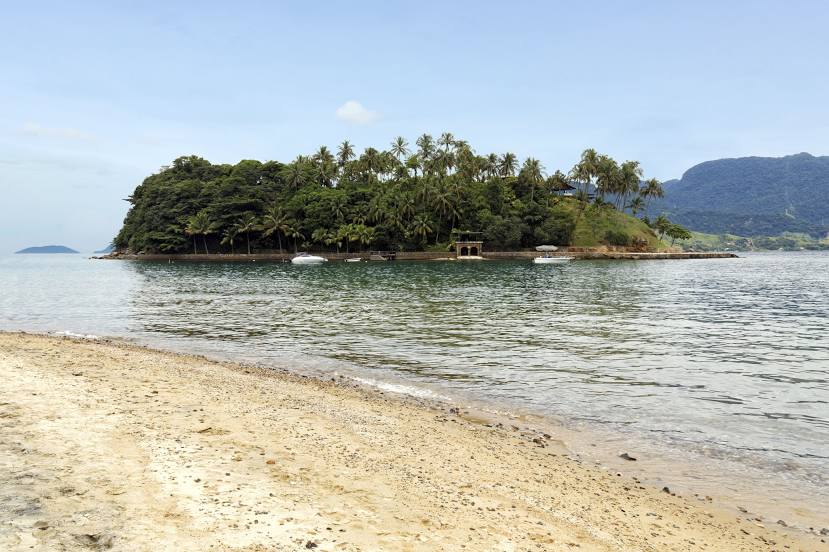
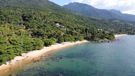
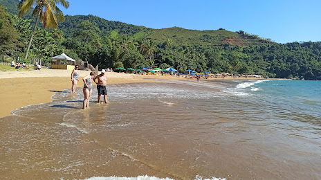
São Sebastião
São Sebastião
Getúlio Vargas — Dom Pedrito
Getúlio Vargas — Jumirim
Getúlio Vargas — Santaluz
Getúlio Vargas — Correia Pinto
Getúlio Vargas — Madre de Deus de Minas
Getúlio Vargas — Cáceres
Getúlio Vargas — 35
Getúlio Vargas — Salvador
Getúlio Vargas — Igaratinga
Getúlio Vargas — Cachoeirinha
Getúlio Vargas — Inhumas
Getúlio Vargas — Arapongas
Getúlio Vargas — Igaraçu do Tietê
Getúlio Vargas — Virgem da Lapa
Getúlio Vargas — Cristiano Otoni
Getúlio Vargas — Aquidauana
Getúlio Vargas — Amargosa
Getúlio Vargas — Erval Velho
Getúlio Vargas — Juruti
Concórdia
Irani
General Carneiro
União da Vitória
Paulo Frontin
São Mateus do Sul
Lapa
Contenda
Araucária
São José dos Pinhais
Piraquara
Quatro Barras
Campina Grande do Sul
Cajati
Registro
Miracatu
Pedro de Toledo
Peruíbe
Mongaguá
Spa Esmeralda
Praia Grande
São Vicente
Cubatão
Santos
Bertioga
São Sebastião
São Sebastião
Getúlio Vargas — Ilhabela distance, route on the map
Distance by car
Distance between Getúlio Vargas, Rio Grande do Sul, Brazil and Ilhabela, São Paulo, Brazil by car is — km, or miles. To travel this distance by car, you need minute, or h.
Route on the map, driving directions
Car route Getúlio Vargas — Ilhabela was created automatically. The road on the map is shown as a blue line. By moving the markers, you can create a new route through the points you need.
Passing cities through which the car route passes: Erechim, Concórdia, Irani, General Carneiro, União da Vitória, Paulo Frontin, São Mateus do Sul, Lapa, Contenda, Araucária, São José dos Pinhais, Piraquara, Quatro Barras, Campina Grande do Sul, Cajati, Registro, Miracatu, Pedro de Toledo, Peruíbe, Mongaguá, Spa Esmeralda, Praia Grande, São Vicente, Cubatão, Santos, Bertioga, São Sebastião, São Sebastião.
Distance by plane
If you decide to take a trip Getúlio Vargas Ilhabela by plane, then you have to fly the distance — 822 km or 510 miles. It is marked on the map with a gray line (between two points in a straight line).
Flight time
Estimated flight time Getúlio Vargas Ilhabela by plane at cruising speed 750 km / h will be — 1 h. and 5 min.
Direction of movement
Brazil, Getúlio Vargas — right-hand traffic. Brazil, Ilhabela — right-hand traffic.
Difference in time
Getúlio Vargas and Ilhabela are in the same time zone. Between them there is no time difference (UTC -3 America/Sao_Paulo).
Interesting Facts
Information on alternative ways to get to your destination.
The length of this distance is about 2.1% of the total length of the equator.
The percentage of the population is clearly shown in the graph:
Getúlio Vargas — 13,695 (less by 19,208), Ilhabela — 32,903 residents.
The cost of travel
Calculate the cost of the trip yourself using the fuel consumption calculator, changing the data in the table.