Huachinera — Magdalena de Kino
Huachinera — Nuevo Vallarta
Huachinera — Noria
Huachinera — Chínipas de Almada
Huachinera — Santa Ana Ixtlahuatzingo
Huachinera — Tzimol
Huachinera — Plan de Guadalupe International Airport
Huachinera — Akumal
Huachinera — Tenosique
Huachinera — Jungapeo de Juárez
Huachinera — Palma Pegada
Huachinera — Ignacio Zaragoza
Huachinera — Xichú
Huachinera — Benito Juárez
Huachinera — Oxkutzcab
Huachinera — Mazatepec
Huachinera — San Cristóbal
Huachinera — Joquicingo
Huachinera — Los Encinos
Huásabas
Moctezuma
San Pedro de Ures
Ures
López
Hermosillo
Hacienda La Poza
El Golfo de Santa Clara
Empalme
Vícam
La Loma de Bácum
La Loma de Bácum
Cócorit
Fundición
Navojoa
Bacabachi
Estación Luis
Dolores Hidalgo
Chávez Talamantes
Licenciado Gustavo Díaz Ordaz
San Miguel Zapotitlán
Los Mochis
Juan José Ríos
Adolfo Ruiz Cortines
Batamote
Cinco de Mayo
Guasave
Angostura
Colonia Independencia
Costa Rica
Isabelita
Loma
Ceuta
San Ignacio
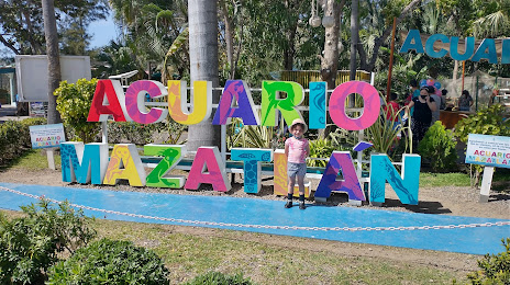
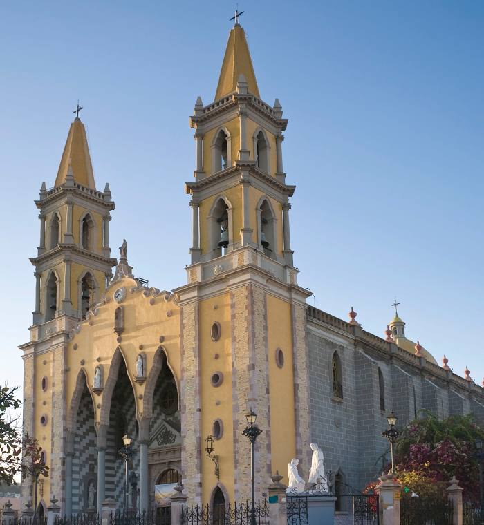
Huachinera — Mazatlán distance, route on the map
Distance by car
Distance between Huachinera, Sonora, Mexico and Mazatlán, Sinaloa, Mexico by car is — km, or miles. To travel this distance by car, you need minute, or h.
Route on the map, driving directions
Car route Huachinera — Mazatlán was created automatically. The road on the map is shown as a blue line. By moving the markers, you can create a new route through the points you need.
Passing cities through which the car route passes: Noria, Huásabas, Moctezuma, San Pedro de Ures, Ures, López, Hermosillo, Hacienda La Poza, El Golfo de Santa Clara, Empalme, Vícam, La Loma de Bácum, La Loma de Bácum, Cócorit, Fundición, Navojoa, Bacabachi, Estación Luis, Dolores Hidalgo, Chávez Talamantes, Licenciado Gustavo Díaz Ordaz, San Miguel Zapotitlán, Los Mochis, Juan José Ríos, Adolfo Ruiz Cortines, Batamote, Cinco de Mayo, Guasave, Angostura, Colonia Independencia, Costa Rica, Isabelita, Loma, Ceuta, San Ignacio.
Distance by plane
If you decide to take a trip Huachinera Mazatlán by plane, then you have to fly the distance — 814 km or 505 miles. It is marked on the map with a gray line (between two points in a straight line).
Flight time
Estimated flight time Huachinera Mazatlán by plane at cruising speed 750 km / h will be — 1 h. and 5 min.
Direction of movement
Mexico, Huachinera — right-hand traffic. Mexico, Mazatlán — right-hand traffic.
Difference in time
Huachinera and Mazatlán are in the same time zone. Between them there is no time difference (UTC -7 America/Hermosillo).
Interesting Facts
Information on alternative ways to get to your destination.
The length of this distance is about 2.0% of the total length of the equator.
The cost of travel
Calculate the cost of the trip yourself using the fuel consumption calculator, changing the data in the table.