Akhlebinino — Gorgol
Akhlebinino — Larino
Akhlebinino — Zaplyusye
Akhlebinino — Leninsk-Kuznetskiy
Akhlebinino — Ukraina
Akhlebinino — Germenchik
Akhlebinino — Sochi International Airport (Adler)
Akhlebinino — Leninskoye
Akhlebinino — Magaras
Akhlebinino — Leninka
Akhlebinino — Staropetrovskiy
Akhlebinino — Chuchi
Akhlebinino — Arzgir
Akhlebinino — Lokhovo
Akhlebinino — Bolshiye Dvory
Akhlebinino — Galiakberovo
Akhlebinino — Novopavlovka
Akhlebinino — Chuvaki
Akhlebinino — Vyritsa
Koptevo
Rassvet
Inshinskiy
Grumant
Bol'shiye Ozerki
Solova
Karamyshevo
Agroles
Tëploe
Fetisovo
Okhotskiy
Yefremov
Poselok
Palenka
Stanovoye
Gorod Elets
Ekaterinovka
Kamenka
Zadonsk
Utkino
Vvedenka
Hlevnoe
Kon'-Kolodez'
Bogdanovo
Voronezh International Airport
Solnechnyy
Otradnoye
Novaya Usman'
Podkletnoye
Rogachevka
Stepnoy
Sredniy Ikorets
Karandeevka
Lipovka
Shestakovo
Losevo
Pavlovsk
Verkhniy Mamon
Boguchar
Kupyanka
Nagibin
Akhlebinino — Novomikhaylovskiy distance, route on the map
Distance by car
Distance between Akhlebinino, Kaluzhskaya oblast', Russian Federation and Novomikhaylovskiy, Krasnodarskiy kray, Russian Federation by car is — km, or miles. To travel this distance by car, you need minute, or h.
Route on the map, driving directions
Car route Akhlebinino — Novomikhaylovskiy was created automatically. The road on the map is shown as a blue line. By moving the markers, you can create a new route through the points you need.
Passing cities through which the car route passes: Gryaznovo, Koptevo, Rassvet, Inshinskiy, Grumant, Bol'shiye Ozerki, Solova, Karamyshevo, Agroles, Tëploe, Fetisovo, Okhotskiy, Yefremov, Poselok, Palenka, Stanovoye, Gorod Elets, Ekaterinovka, Kamenka, Zadonsk, Utkino, Vvedenka, Hlevnoe, Kon'-Kolodez', Bogdanovo, Voronezh International Airport, Solnechnyy, Otradnoye, Novaya Usman', Podkletnoye, Rogachevka, Stepnoy, Sredniy Ikorets, Karandeevka, Lipovka, Shestakovo, Losevo, Pavlovsk, Verkhniy Mamon, Boguchar, Kupyanka, Nagibin.
Distance by plane
If you decide to take a trip Akhlebinino Novomikhaylovskiy by plane, then you have to fly the distance — 1147 km or 711 miles. It is marked on the map with a gray line (between two points in a straight line).
Flight time
Estimated flight time Akhlebinino Novomikhaylovskiy by plane at cruising speed 750 km / h will be — 1 h. and 31 min.
Direction of movement
Russian Federation, Akhlebinino — right-hand traffic. Russian Federation, Novomikhaylovskiy — right-hand traffic.
Difference in time
Akhlebinino and Novomikhaylovskiy are in the same time zone. Between them there is no time difference (UTC +3 Europe/Moscow).
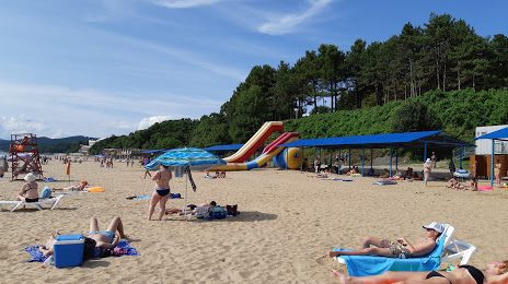
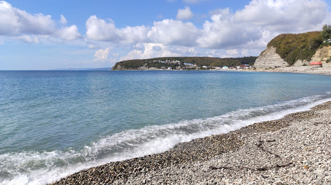
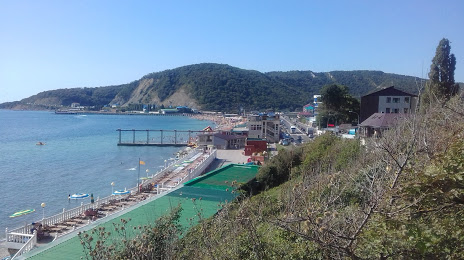
Interesting Facts
Information on alternative ways to get to your destination.
The length of this distance is about 2.9% of the total length of the equator.
The cost of travel
Calculate the cost of the trip yourself using the fuel consumption calculator, changing the data in the table.