Santa Isabel — Capistrano
Santa Isabel — Leandro Ferreira
Santa Isabel — Ibicoara
Santa Isabel — Guarda-Mor
Santa Isabel — São Lourenço da Mata
Santa Isabel — Coroados
Santa Isabel — Itamonte
Santa Isabel — Cordisburgo
Santa Isabel — Pantano Grande
Santa Isabel — Alenquer
Santa Isabel — Itiúba
Santa Isabel — Santa Brígida
Santa Isabel — Taquaritinga
Santa Isabel — Janaúba
Santa Isabel — Santa Clara
Santa Isabel — São José de Mipibu
Santa Isabel — Sengés
Santa Isabel — Santo Amaro
Santa Isabel — Ildefonso
Sao Paulo International Airport
Sao Paulo International Airport
Guarulhos
Guarulhos
Tucuruvi
State of São Paulo
Centro
Lapa
Rochdale
Osasco
Pestana
Taboão da Serra
Embu das Artes
São Lourenço da Serra
Juquitiba
Miracatu
Registro
Cajati
Campina Grande do Sul
Quatro Barras
Piraquara
São José dos Pinhais
Fazenda Rio Grande
Mandirituba
Agudos do Sul
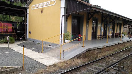
Santa Isabel — Rio Negrinho distance, route on the map
Distance by car
Distance between Santa Isabel, São Paulo, Brazil and Rio Negrinho, Santa Catarina, Brazil by car is — km, or miles. To travel this distance by car, you need minute, or h.
Route on the map, driving directions
Car route Santa Isabel — Rio Negrinho was created automatically. The road on the map is shown as a blue line. By moving the markers, you can create a new route through the points you need.
Passing cities through which the car route passes: Arujá, Sao Paulo International Airport, Sao Paulo International Airport, Guarulhos, Guarulhos, Tucuruvi, State of São Paulo, Centro, Lapa, Rochdale, Osasco, Pestana, Taboão da Serra, Embu das Artes, São Lourenço da Serra, Juquitiba, Miracatu, Registro, Cajati, Campina Grande do Sul, Quatro Barras, Piraquara, São José dos Pinhais, Fazenda Rio Grande, Mandirituba, Agudos do Sul.
Distance by plane
If you decide to take a trip Santa Isabel Rio Negrinho by plane, then you have to fly the distance — 466 km or 289 miles. It is marked on the map with a gray line (between two points in a straight line).
Flight time
Estimated flight time Santa Isabel Rio Negrinho by plane at cruising speed 750 km / h will be — 37 min.
Direction of movement
Brazil, Santa Isabel — right-hand traffic. Brazil, Rio Negrinho — right-hand traffic.
Difference in time
Santa Isabel and Rio Negrinho are in the same time zone. Between them there is no time difference (UTC -3 America/Sao_Paulo).
Interesting Facts
Information on alternative ways to get to your destination.
The length of this distance is about 1.2% of the total length of the equator.
The percentage of the population is clearly shown in the graph:
Santa Isabel — 33,709 (less by 8,206), Rio Negrinho — 41,915 residents.
The cost of travel
Calculate the cost of the trip yourself using the fuel consumption calculator, changing the data in the table.